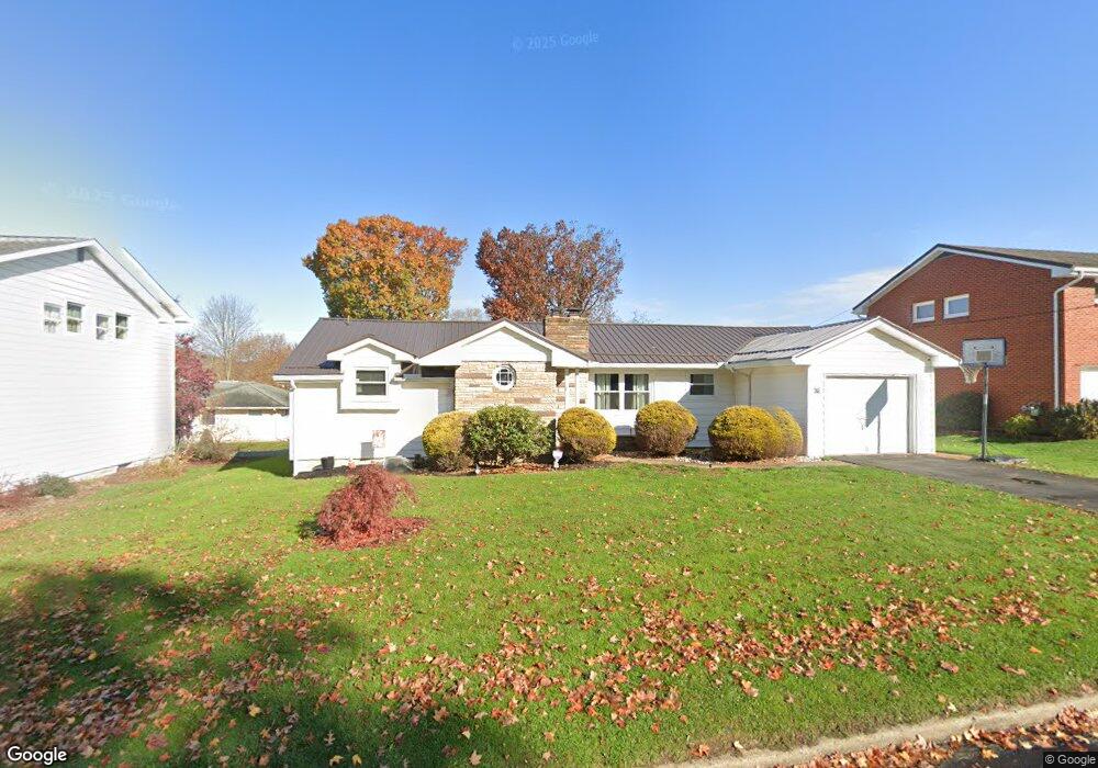
675 Carter Ave Indiana, PA 15701
Estimated Value: $151,000 - $214,000
2
Beds
2
Baths
1,314
Sq Ft
$134/Sq Ft
Est. Value
About This Home
This home is located at 675 Carter Ave, Indiana, PA 15701 and is currently estimated at $176,464, approximately $134 per square foot. 675 Carter Ave is a home located in Indiana County with nearby schools including Indiana Area Junior High School, Indiana Area Senior High School, and Seeds of Faith Christian Academy.
Ownership History
Date
Name
Owned For
Owner Type
Purchase Details
Closed on
Apr 1, 2016
Sold by
Brown Arthur and Brown Marilyn
Bought by
Majernik Daniel J and Majernik Alisha A
Current Estimated Value
Home Financials for this Owner
Home Financials are based on the most recent Mortgage that was taken out on this home.
Original Mortgage
$104,669
Outstanding Balance
$84,674
Interest Rate
4.25%
Mortgage Type
FHA
Estimated Equity
$91,790
Purchase Details
Closed on
May 4, 2011
Sold by
Miller Joan Elaine
Bought by
Brown Arthur and Brown Marilyn
Purchase Details
Closed on
Apr 27, 2010
Sold by
Novak Mary G
Bought by
Miller Joan Elaine
Create a Home Valuation Report for This Property
The Home Valuation Report is an in-depth analysis detailing your home's value as well as a comparison with similar homes in the area
Home Values in the Area
Average Home Value in this Area
Purchase History
| Date | Buyer | Sale Price | Title Company |
|---|---|---|---|
| Majernik Daniel J | $106,600 | None Available | |
| Brown Arthur | $100,000 | None Available | |
| Miller Joan Elaine | $107,500 | None Available |
Source: Public Records
Mortgage History
| Date | Status | Borrower | Loan Amount |
|---|---|---|---|
| Open | Majernik Daniel J | $104,669 |
Source: Public Records
Tax History Compared to Growth
Tax History
| Year | Tax Paid | Tax Assessment Tax Assessment Total Assessment is a certain percentage of the fair market value that is determined by local assessors to be the total taxable value of land and additions on the property. | Land | Improvement |
|---|---|---|---|---|
| 2025 | $3,727 | $123,600 | $15,500 | $108,100 |
| 2024 | $3,448 | $123,600 | $15,500 | $108,100 |
| 2023 | $3,266 | $123,600 | $15,500 | $108,100 |
| 2022 | $3,249 | $123,600 | $15,500 | $108,100 |
| 2021 | $3,249 | $123,600 | $15,500 | $108,100 |
| 2020 | $3,192 | $123,600 | $15,500 | $108,100 |
| 2018 | $3,143 | $123,600 | $15,500 | $108,100 |
| 2017 | $3,041 | $123,600 | $15,500 | $108,100 |
| 2016 | -- | $123,600 | $15,500 | $108,100 |
| 2015 | -- | $21,860 | $3,440 | $18,420 |
| 2014 | -- | $21,860 | $3,440 | $18,420 |
Source: Public Records
Map
Nearby Homes
- 615 Maple St
- 665 Willow Ave
- 542 Grandview Ave
- 475 S 7th St
- 560 Grant St
- 654 S 5th St
- 820 Grant St
- 884 Wayne Ave
- 410 Washington St
- 822 S 2nd St
- 1019 School St
- 523 Church St
- 1029 School St
- 47-49 S 5th St
- 332 Walnut St
- 419 Church St
- 418 Gompers Ave
- 0 Route 286 & Florence Ave Unit 1685866
- 0 Mallet Hill Ct Unit 1691769
- 6 & 12 Station Ave
- 665 Carter Ave
- 685 Carter Ave
- 670 Diamond Ave
- 660 Diamond Ave
- 680 Diamond Ave
- 655 Carter Ave
- 650 Diamond Ave
- 650 Diamond Ave
- 650 Diamond Ave
- 650 Diamond Ave
- 695 Carter Ave
- 645 Carter Ave
- 665 Diamond Ave
- 690 Diamond Ave
- 640 Diamond Ave
- 645 S 7th St
- 655 Diamond Ave
- 646 Maple St
- 647 S 7th St
- 653 S 7th St