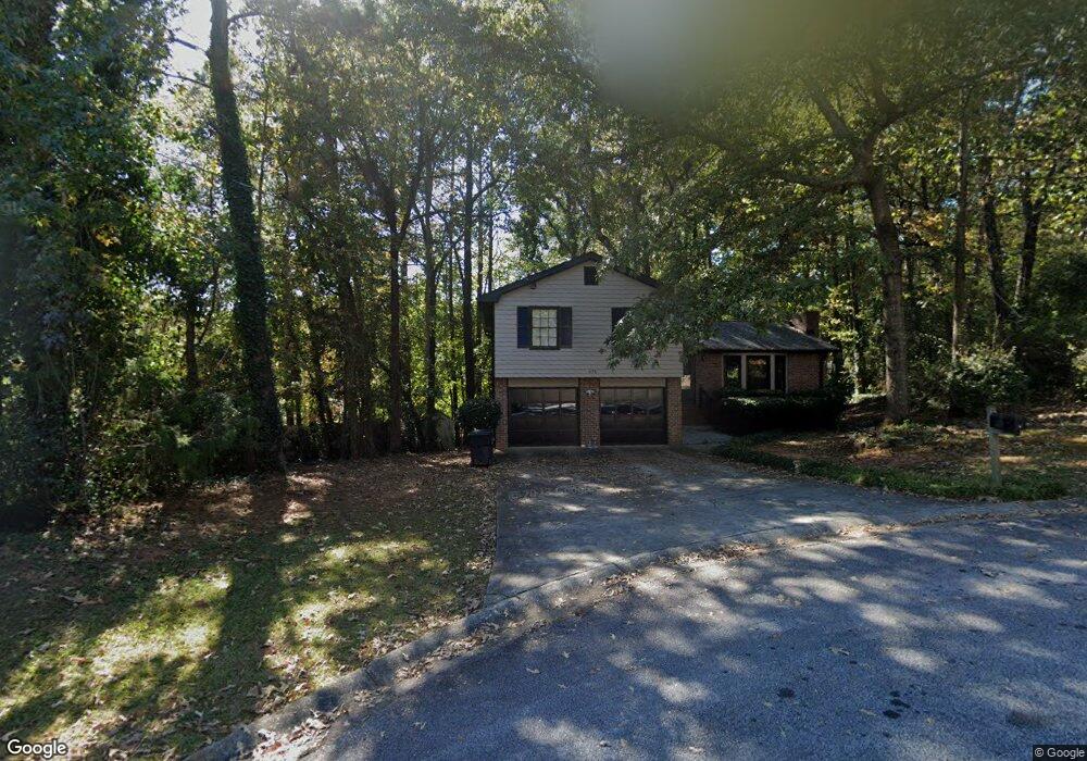
675 Deering Rd SE Unit 1 Conyers, GA 30094
Estimated Value: $260,000 - $326,000
3
Beds
2
Baths
2,560
Sq Ft
$117/Sq Ft
Est. Value
About This Home
This home is located at 675 Deering Rd SE Unit 1, Conyers, GA 30094 and is currently estimated at $299,102, approximately $116 per square foot. 675 Deering Rd SE Unit 1 is a home located in Rockdale County with nearby schools including Sims Elementary School, Edwards Middle School, and Heritage High School.
Ownership History
Date
Name
Owned For
Owner Type
Purchase Details
Closed on
May 15, 1998
Sold by
Sloan Paula J
Bought by
Bryant Lorretta
Current Estimated Value
Home Financials for this Owner
Home Financials are based on the most recent Mortgage that was taken out on this home.
Original Mortgage
$88,365
Outstanding Balance
$17,326
Interest Rate
7.14%
Mortgage Type
VA
Estimated Equity
$281,776
Create a Home Valuation Report for This Property
The Home Valuation Report is an in-depth analysis detailing your home's value as well as a comparison with similar homes in the area
Home Values in the Area
Average Home Value in this Area
Purchase History
| Date | Buyer | Sale Price | Title Company |
|---|---|---|---|
| Bryant Lorretta | $86,000 | -- |
Source: Public Records
Mortgage History
| Date | Status | Borrower | Loan Amount |
|---|---|---|---|
| Open | Bryant Lorretta | $88,365 |
Source: Public Records
Tax History Compared to Growth
Tax History
| Year | Tax Paid | Tax Assessment Tax Assessment Total Assessment is a certain percentage of the fair market value that is determined by local assessors to be the total taxable value of land and additions on the property. | Land | Improvement |
|---|---|---|---|---|
| 2024 | $3,070 | $126,200 | $18,480 | $107,720 |
| 2023 | $2,105 | $92,560 | $12,800 | $79,760 |
| 2022 | $1,720 | $77,560 | $12,800 | $64,760 |
| 2021 | $1,462 | $64,040 | $8,960 | $55,080 |
| 2020 | $1,290 | $58,000 | $8,600 | $49,400 |
| 2019 | $709 | $38,040 | $4,680 | $33,360 |
| 2018 | $525 | $31,960 | $4,680 | $27,280 |
| 2017 | $422 | $28,440 | $4,680 | $23,760 |
| 2016 | $389 | $28,440 | $4,680 | $23,760 |
| 2015 | $494 | $32,000 | $4,680 | $27,320 |
| 2014 | $487 | $33,640 | $3,960 | $29,680 |
| 2013 | -- | $31,760 | $4,840 | $26,920 |
Source: Public Records
Map
Nearby Homes
- 693 Deering Rd SE
- 574 Almand Branch Rd SE Unit 1
- 665 Huron Ct SE
- 2717 Stanton Woods Dr SE
- 549 Greenview Ave SE
- 2987 Landmark Dr SE
- 2910 Stanton Rd SE
- 2924 Raintree Dr SE
- 2923 Raintree Dr SE
- 3021 Lakeridge Dr SE
- 726 Shoreline Trail SE
- 2851 Stanton Rd SE
- 3027 Lakeridge Dr SE
- 1511 Hillside Dr SE
- 3014 Lakeridge Dr SE
- 1813 Holmsey Cir
- 820 Bridgewater Way SE
- 2617 Laurel Woods Ln SE Unit 3
- 812 Raintree Way SE
- 1920 Logan Ln
- 662 Deering Rd SE
- 0 Deering Rd SE Unit 3279606
- 0 Deering Rd SE Unit 8660078
- 0 Deering Rd SE Unit 8090482
- 0 Deering Rd SE Unit 8564632
- 0 Deering Rd SE Unit 8481024
- 0 Deering Rd SE Unit 2929240
- 0 Deering Rd SE
- 652 Greenview Ave SE
- 648 Greenview Ave SE
- 660 Greenview Ave SE Unit I
- 2876 High Brook Way SE
- 640 Greenview Ave SE
- 2870 High Brook Way SE
- 670 Deering Rd SE
- 647 Almand Branch Rd SE
- 678 Deering Rd SE
- 657 Almand Branch Rd SE
- 639 Almand Branch Rd SE
- 665 Almand Branch Rd SE Unit 2