675 Junkins Loop Westcliffe, CO 81252
Estimated Value: $383,400 - $516,000
2
Beds
1
Bath
1,704
Sq Ft
$257/Sq Ft
Est. Value
About This Home
This home is located at 675 Junkins Loop, Westcliffe, CO 81252 and is currently estimated at $437,467, approximately $256 per square foot. 675 Junkins Loop is a home located in Custer County with nearby schools including Custer County Elementary School, Custer Middle School, and Custer County High School.
Ownership History
Date
Name
Owned For
Owner Type
Purchase Details
Closed on
Jan 19, 2007
Sold by
Parsons Kevin L and Welch Linda J
Bought by
Parsons Kevin L
Current Estimated Value
Purchase Details
Closed on
Feb 14, 2001
Sold by
Parsons Kevin L
Bought by
Parsons Kevin L and Welch Linda J
Purchase Details
Closed on
Jun 3, 1992
Sold by
Kurshinsky Richard
Bought by
Parsons Kevin L
Purchase Details
Closed on
May 21, 1986
Sold by
Plp Joint Venture
Bought by
Kurshinsky Richard
Create a Home Valuation Report for This Property
The Home Valuation Report is an in-depth analysis detailing your home's value as well as a comparison with similar homes in the area
Purchase History
| Date | Buyer | Sale Price | Title Company |
|---|---|---|---|
| Parsons Kevin L | -- | -- | |
| Parsons Kevin L | -- | -- | |
| Parsons Kevin L | $7,300 | -- | |
| Kurshinsky Richard | $9,900 | -- |
Source: Public Records
Tax History
| Year | Tax Paid | Tax Assessment Tax Assessment Total Assessment is a certain percentage of the fair market value that is determined by local assessors to be the total taxable value of land and additions on the property. | Land | Improvement |
|---|---|---|---|---|
| 2025 | $1,069 | $22,070 | $0 | $0 |
| 2024 | $831 | $23,580 | $0 | $0 |
| 2023 | $831 | $23,580 | $0 | $0 |
| 2022 | $596 | $16,400 | $1,500 | $14,900 |
| 2021 | $1,084 | $16,400 | $1,500 | $14,900 |
| 2020 | $991 | $15,180 | $1,500 | $13,680 |
| 2019 | $986 | $15,180 | $1,500 | $13,680 |
| 2018 | $888 | $13,600 | $1,510 | $12,090 |
| 2017 | $861 | $13,601 | $1,512 | $12,089 |
| 2016 | $913 | $15,000 | $1,990 | $13,010 |
| 2015 | -- | $188,438 | $25,000 | $163,438 |
| 2012 | $880 | $187,404 | $22,500 | $164,904 |
Source: Public Records
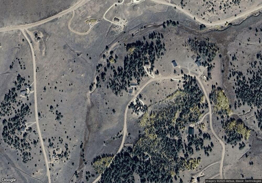
Map
Nearby Homes
- 741 Junkins Loop
- 950 Junkins Loop
- 9496 County Road 328
- 152 Wulsten Way
- 000 Cr 328
- 550 Cr 358
- 2177 County Road 341
- 2240 Cr 341
- 0 County Road 341 Unit REC5287690
- 2141 County Road 341
- 1210 Engelman Rd
- 2716 County Road 327
- 1716 County Road 327
- 1564 Larkspur Ln
- 524 Robinson Rd
- 2240 County Road 341
- 000 County Road 341
- 2138 County Road 341
- 1234 Edelweiss Dr
- 532 Atlasta Dr
- 620 Junkins Loop
- 741 Junkins Loop Unit 89
- 749 Junkins Loop
- 770 Junkins Loop
- 521 Junkins Loop
- 564 Junkins Loop
- TBD Lot 36 Junkins Ct
- 825 Junkins Loop
- 144 County Road 358
- 42 County Road 358 Unit 25
- 42 County Road 358
- 291 Junkins Loop
- 164 Junkins Loop
- 140 Junkins Loop
- 00 County Road 358
- 51 Junkins Loop
- 1036 Junkins Loop
- 208 Junkins Loop
- 95 Junkins Ct Unit 44
- 95 Junkins Ct
Your Personal Tour Guide
Ask me questions while you tour the home.