675 Leahs Row Rd Ambrose, GA 31512
Estimated Value: $192,000 - $275,000
--
Bed
2
Baths
1,681
Sq Ft
$138/Sq Ft
Est. Value
About This Home
This home is located at 675 Leahs Row Rd, Ambrose, GA 31512 and is currently estimated at $231,823, approximately $137 per square foot. 675 Leahs Row Rd is a home located in Coffee County with nearby schools including Ambrose Elementary School, Coffee Middle School, and Coffee County High School.
Ownership History
Date
Name
Owned For
Owner Type
Purchase Details
Closed on
Mar 12, 2021
Sold by
James Kelsea R
Bought by
Spikes Annslee E
Current Estimated Value
Home Financials for this Owner
Home Financials are based on the most recent Mortgage that was taken out on this home.
Original Mortgage
$139,393
Outstanding Balance
$125,019
Interest Rate
2.73%
Mortgage Type
New Conventional
Estimated Equity
$106,804
Purchase Details
Closed on
Apr 7, 2017
Sold by
Purvis Glenn
Bought by
Barnwell Jonathan H and Barnwell James Kelsea R
Home Financials for this Owner
Home Financials are based on the most recent Mortgage that was taken out on this home.
Original Mortgage
$105,552
Interest Rate
3.75%
Mortgage Type
FHA
Purchase Details
Closed on
Sep 16, 2016
Sold by
Emmanuel
Bought by
Purvis Glenn and Purvis Celia
Create a Home Valuation Report for This Property
The Home Valuation Report is an in-depth analysis detailing your home's value as well as a comparison with similar homes in the area
Home Values in the Area
Average Home Value in this Area
Purchase History
| Date | Buyer | Sale Price | Title Company |
|---|---|---|---|
| Spikes Annslee E | $137,500 | -- | |
| Barnwell Jonathan H | $107,500 | -- | |
| Purvis Glenn | $72,000 | -- |
Source: Public Records
Mortgage History
| Date | Status | Borrower | Loan Amount |
|---|---|---|---|
| Open | Spikes Annslee E | $139,393 | |
| Previous Owner | Barnwell Jonathan H | $105,552 |
Source: Public Records
Tax History Compared to Growth
Tax History
| Year | Tax Paid | Tax Assessment Tax Assessment Total Assessment is a certain percentage of the fair market value that is determined by local assessors to be the total taxable value of land and additions on the property. | Land | Improvement |
|---|---|---|---|---|
| 2024 | $1,173 | $52,936 | $6,256 | $46,680 |
| 2023 | $1,173 | $52,936 | $6,256 | $46,680 |
| 2022 | $1,285 | $52,936 | $6,256 | $46,680 |
| 2021 | $1,285 | $52,936 | $6,256 | $46,680 |
| 2020 | $1,066 | $43,896 | $6,256 | $37,640 |
| 2019 | $1,066 | $43,896 | $6,256 | $37,640 |
| 2018 | $1,045 | $43,896 | $6,256 | $37,640 |
| 2017 | $702 | $43,896 | $6,256 | $37,640 |
| 2016 | $1,071 | $43,896 | $6,256 | $37,640 |
| 2015 | $1,077 | $43,896 | $6,256 | $37,640 |
| 2014 | $1,076 | $43,656 | $6,256 | $37,400 |
Source: Public Records
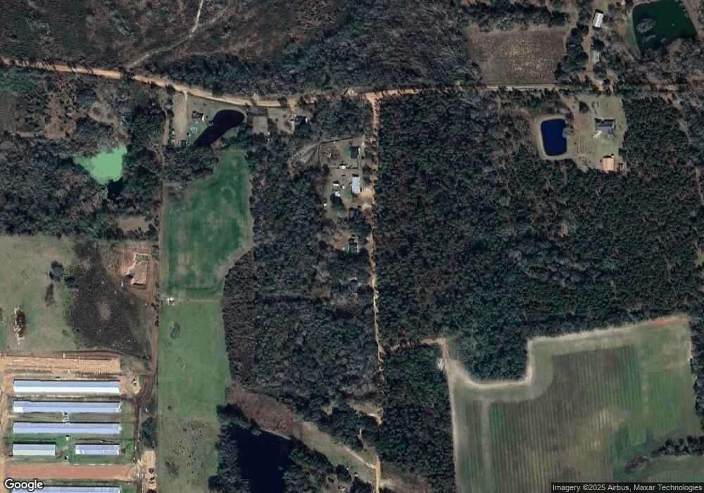
Map
Nearby Homes
- 00 Ambrose Rd
- 126 Oscar Patton Estates
- 423 Fort Valley Rd
- 1671 Warren Carter Rd
- 116 Reedy Creek Rd
- 550 Isaac Brigmond Rd
- 323 Eastman Paulk Rd
- 00 Rocky Pond Rd
- 744 Lotts Crossing
- 714 Fitzgerald Hwy
- 1020 Alabama St N
- 504 Miller Ave
- 4653 Douglas Braxton Hwy
- 407 Broxton West Green Hwy
- 53 Suffolk Ln
- 310 Leyland Dr
- 316 Kathy Cir
- 2004 Indian Trail
- 310 Dogwood Ave
- 2022 Georgia 32
- 675 Leahs Row Rd
- 675 Leahs Row
- 709 Leahs Row Rd
- 709 Leahs Row
- 645 Leahs Row Rd
- 645 Leahs Row
- 763 Leah's Row Rd
- 763 Leahs Row Rd
- 763 Leahs Row Rd
- 886 Earl Day Rd
- 413 Leahs Row Rd
- 802 Earl Day Rd
- 1170 Earl Day Rd
- 00 Earl Day Rd Unit n/a
- 000 Leahs Row
- 00 Leahs Row Unit n/a
- 1151 Earl Day Rd
- 624 Earl Day Rd
- 363 Leahs Row Rd
- 330 Leahs Row Rd