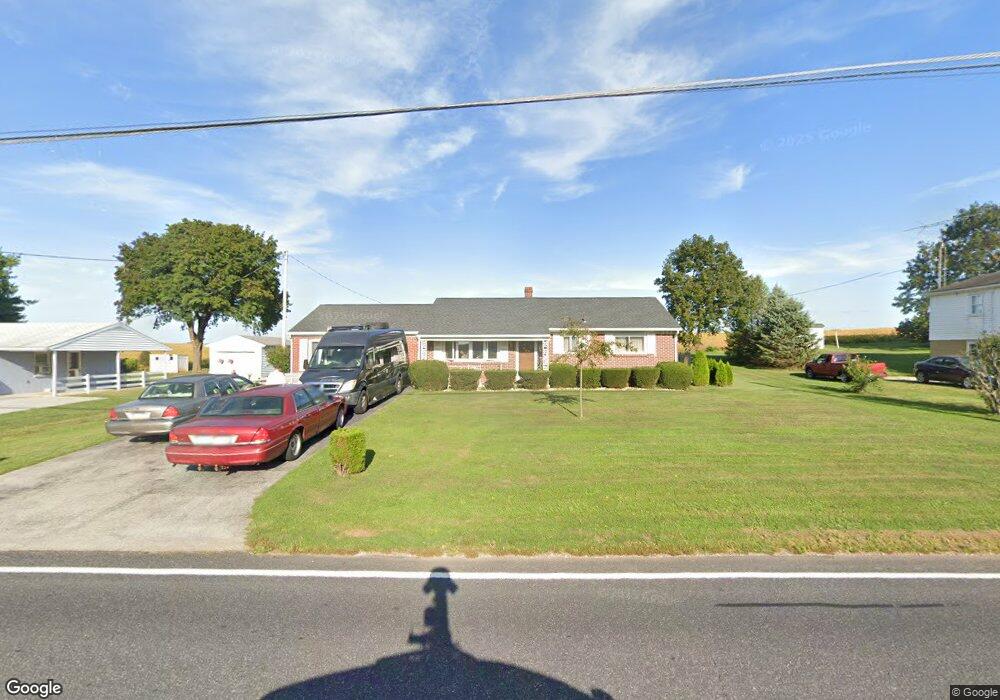
675 Littlestown Rd Unit 8 Littlestown, PA 17340
Estimated Value: $248,000 - $358,000
2
Beds
2
Baths
1,492
Sq Ft
$193/Sq Ft
Est. Value
About This Home
This home is located at 675 Littlestown Rd Unit 8, Littlestown, PA 17340 and is currently estimated at $288,146, approximately $193 per square foot. 675 Littlestown Rd Unit 8 is a home located in Adams County with nearby schools including Rolling Acres El School, Maple Avenue Middle School, and Littlestown Senior High School.
Ownership History
Date
Name
Owned For
Owner Type
Purchase Details
Closed on
Nov 18, 2009
Sold by
Guise Gary R and Guise Darlene A
Bought by
Guise Gary R and Guise Darlene A
Current Estimated Value
Create a Home Valuation Report for This Property
The Home Valuation Report is an in-depth analysis detailing your home's value as well as a comparison with similar homes in the area
Home Values in the Area
Average Home Value in this Area
Purchase History
| Date | Buyer | Sale Price | Title Company |
|---|---|---|---|
| Guise Gary R | -- | -- |
Source: Public Records
Tax History Compared to Growth
Tax History
| Year | Tax Paid | Tax Assessment Tax Assessment Total Assessment is a certain percentage of the fair market value that is determined by local assessors to be the total taxable value of land and additions on the property. | Land | Improvement |
|---|---|---|---|---|
| 2025 | $3,507 | $185,300 | $30,000 | $155,300 |
| 2024 | $3,353 | $185,300 | $30,000 | $155,300 |
| 2023 | $3,286 | $185,300 | $30,000 | $155,300 |
| 2022 | $3,285 | $185,300 | $30,000 | $155,300 |
| 2021 | $3,169 | $185,300 | $30,000 | $155,300 |
| 2020 | $3,123 | $185,300 | $30,000 | $155,300 |
| 2019 | $3,057 | $185,300 | $30,000 | $155,300 |
| 2018 | $2,990 | $185,300 | $30,000 | $155,300 |
| 2017 | $2,730 | $175,200 | $30,000 | $145,200 |
| 2016 | -- | $175,200 | $30,000 | $145,200 |
| 2015 | -- | $175,200 | $30,000 | $145,200 |
| 2014 | -- | $175,200 | $30,000 | $145,200 |
Source: Public Records
Map
Nearby Homes
- 0 Littlestown Rd
- 4900 Hanover Rd
- 349 Basehoar School Rd Unit 5
- 464 Locust Ln
- 43 Ashfield Dr Unit 14
- 0 Locust Dr Unit PAAD2015910
- 20c Locust Dr
- 20 Locust Dr
- 162 Newark St
- 41 Smith Cir
- 5 Manor Cir Unit 103
- 58 Windsor Ct
- 48 Windsor Ct
- 449 Glenwyn Dr
- 440 N Queen St
- 15 Warm Breeze Ct Unit 96
- 345 Smoketown Rd
- 567 Lumber St
- 559 Lumber St
- 58 N Gala Unit 397
- 685 Littlestown Rd
- 665 Littlestown Rd
- 678 Littlestown Rd Unit 1
- 655 Littlestown Rd
- 670 Littlestown Rd
- 700 Littlestown Rd
- 701 Littlestown Rd
- 645 Littlestown Rd Unit 5
- 650 Littlestown Rd Unit 5
- 635 Littlestown Rd
- 638 Littlestown Rd
- 625 Littlestown Rd
- 725 Littlestown Rd
- 620 Littlestown Rd
- 735 Littlestown Rd Unit 14
- 615 Littlestown Rd
- 670 Flatbush Rd
- 745 Littlestown Rd
- 605 Littlestown Rd
- 630 Flatbush Rd