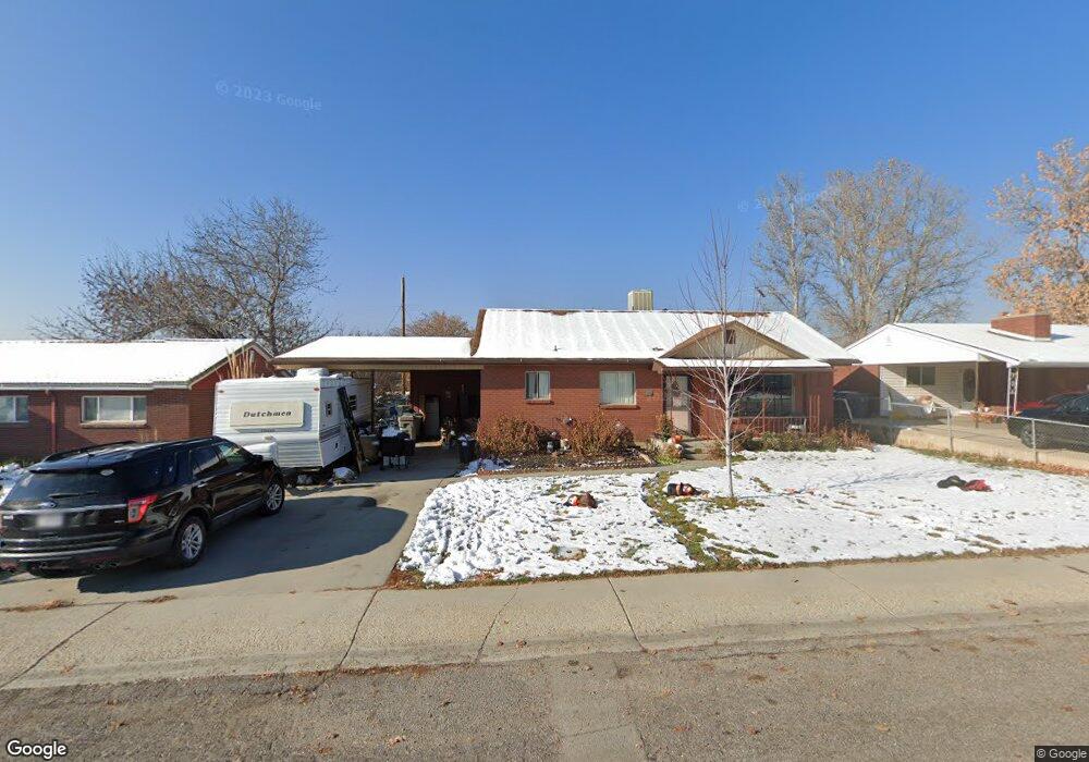
675 N 300 W American Fork, UT 84003
Estimated Value: $462,000 - $518,000
4
Beds
3
Baths
1,092
Sq Ft
$459/Sq Ft
Est. Value
About This Home
This home is located at 675 N 300 W, American Fork, UT 84003 and is currently estimated at $501,194, approximately $458 per square foot. 675 N 300 W is a home located in Utah County with nearby schools including Shelley Elementary School, American Fork Junior High School, and American Fork High School.
Ownership History
Date
Name
Owned For
Owner Type
Purchase Details
Closed on
Jun 29, 2018
Sold by
Walker M Ray M and Walker Lori
Bought by
Carson Camberlee and Finlayson Brandon L
Current Estimated Value
Home Financials for this Owner
Home Financials are based on the most recent Mortgage that was taken out on this home.
Original Mortgage
$261,328
Outstanding Balance
$231,259
Interest Rate
5.5%
Mortgage Type
FHA
Estimated Equity
$269,935
Purchase Details
Closed on
Jan 27, 2016
Sold by
Neil Blaine Claude and Limb Daniel Clarence
Bought by
Walker Walker M and Walker Lori
Create a Home Valuation Report for This Property
The Home Valuation Report is an in-depth analysis detailing your home's value as well as a comparison with similar homes in the area
Home Values in the Area
Average Home Value in this Area
Purchase History
| Date | Buyer | Sale Price | Title Company |
|---|---|---|---|
| Carson Camberlee | -- | Provo Land Title Co | |
| Walker Walker M | -- | Provo Land Title Co | |
| Neil Blaine Claude | -- | None Available |
Source: Public Records
Mortgage History
| Date | Status | Borrower | Loan Amount |
|---|---|---|---|
| Open | Carson Camberlee | $261,328 |
Source: Public Records
Tax History Compared to Growth
Tax History
| Year | Tax Paid | Tax Assessment Tax Assessment Total Assessment is a certain percentage of the fair market value that is determined by local assessors to be the total taxable value of land and additions on the property. | Land | Improvement |
|---|---|---|---|---|
| 2025 | $2,136 | $251,735 | $195,700 | $262,000 |
| 2024 | $2,136 | $237,380 | $0 | $0 |
| 2023 | $2,028 | $238,865 | $0 | $0 |
| 2022 | $1,966 | $228,525 | $0 | $0 |
| 2021 | $1,680 | $305,000 | $140,400 | $164,600 |
| 2020 | $1,569 | $276,400 | $125,400 | $151,000 |
| 2019 | $1,419 | $258,500 | $107,500 | $151,000 |
| 2018 | $1,364 | $237,600 | $96,800 | $140,800 |
| 2017 | $1,369 | $128,700 | $0 | $0 |
| 2016 | $1,272 | $111,100 | $0 | $0 |
| 2015 | $337 | $101,475 | $0 | $0 |
| 2014 | $235 | $91,135 | $0 | $0 |
Source: Public Records
Map
Nearby Homes
- 540 N 300 W
- 641 N 420 W
- 782 N 200 W
- 796 N 200 W
- 621 N 100 W
- 914 N 400 W Unit A
- 3889 W 950 Cir N Unit 366
- 984 N 300 W
- 356 N 480 W
- 365 N 100 W
- 987 N 410 W
- 602 W 860 N
- 10238 N 6530 W Unit 15
- 1051 N 390 E Unit 103
- 6079 W Whisper Ln Unit 404
- 1220 E 700 N
- 1039 N 390 E Unit 102
- 11338 N Annes Way Unit 8
- 6111 W Whisper Ln Unit 402
- 183 E 760 St N