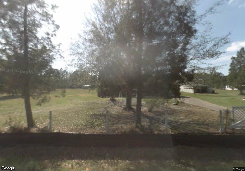
675 N Canal Dr Port Saint Joe, FL 32456
Estimated Value: $75,983 - $430,000
3
Beds
1
Bath
1,188
Sq Ft
$158/Sq Ft
Est. Value
About This Home
This home is located at 675 N Canal Dr, Port Saint Joe, FL 32456 and is currently estimated at $187,996, approximately $158 per square foot. 675 N Canal Dr is a home located in Gulf County.
Ownership History
Date
Name
Owned For
Owner Type
Purchase Details
Closed on
Feb 14, 2022
Sold by
Carr Eileen C
Bought by
Davis Stephanie and Davis Charles
Current Estimated Value
Purchase Details
Closed on
Aug 13, 2021
Sold by
Carr Eileen C and Lang Eileen C
Bought by
Shepherd John E and Shepherd Vicki
Purchase Details
Closed on
Mar 6, 2021
Sold by
Land Dallas M
Bought by
Carr Eileen C
Purchase Details
Closed on
Feb 23, 2021
Sold by
Davis and Charles
Bought by
Carr Eileen C
Purchase Details
Closed on
Apr 2, 2014
Sold by
Carr Richard N
Bought by
Land Eileen C and Land Dallas M
Purchase Details
Closed on
Oct 18, 2013
Sold by
Carr Land Ellen Rebecca and Land Dallas M
Bought by
Carr Richard Neal
Purchase Details
Closed on
Oct 7, 2013
Sold by
Carr Richard Neal and Carr Glenda D
Bought by
Carr Land Eileen Rebecca and Land Dallas M
Create a Home Valuation Report for This Property
The Home Valuation Report is an in-depth analysis detailing your home's value as well as a comparison with similar homes in the area
Home Values in the Area
Average Home Value in this Area
Purchase History
| Date | Buyer | Sale Price | Title Company |
|---|---|---|---|
| Davis Stephanie | $100 | None Listed On Document | |
| Davis Stephanie | -- | None Listed On Document | |
| Shepherd John E | $49,000 | Attorney | |
| Carr Eileen C | -- | Attorney | |
| Carr Eileen C | -- | Davis Stephanie | |
| Carr Eileen C | $100 | Davis Stephanie | |
| Land Eileen C | -- | None Available | |
| Land Eileen C | -- | None Available | |
| Carr Richard Neal | -- | None Available | |
| Carr Land Eileen Rebecca | -- | None Available |
Source: Public Records
Tax History Compared to Growth
Tax History
| Year | Tax Paid | Tax Assessment Tax Assessment Total Assessment is a certain percentage of the fair market value that is determined by local assessors to be the total taxable value of land and additions on the property. | Land | Improvement |
|---|---|---|---|---|
| 2024 | $555 | $47,000 | $47,000 | -- |
| 2023 | $585 | $47,000 | $47,000 | $0 |
| 2022 | $274 | $21,262 | $21,262 | $0 |
| 2021 | $1,551 | $123,535 | $42,524 | $81,011 |
| 2020 | $1,303 | $93,752 | $40,299 | $53,453 |
| 2019 | $1,230 | $87,389 | $33,936 | $53,453 |
| 2018 | $1,409 | $103,512 | $0 | $0 |
| 2017 | $1,229 | $85,860 | $0 | $0 |
| 2016 | $1,291 | $86,852 | $0 | $0 |
| 2015 | $1,233 | $80,879 | $0 | $0 |
| 2014 | -- | $73,130 | $0 | $0 |
Source: Public Records
Map
Nearby Homes
- Lot 1 Palmetto Dr
- 536 N Canal Dr
- 105 Chapel Ln
- 7 Whippoorwill Ave
- 333 Firehouse Rd
- 178 S Canal Dr
- 156 S Canal Dr
- 164 S Canal Dr
- 162 S Canal Dr Unit Lot 2- Ar
- 156 S Canal Dr Unit 1-ar
- 158 S Canal Dr Unit 2-br
- 164 S Canal Dr Unit 1-br
- 976 S Long St
- Lot 12 Pleasant Rest Rd
- Lot 11 Pleasant Rest Rd
- TBD S Long St
- 181 Marshall Ln
- 3640 Cr 386 S
- Lot 1 Margies Ln
- 121 Yellowfin Dr Unit Lot 5
- 670 N Canal Dr
- 450 Palmetto Dr
- 605 N Canal Dr
- 482 Palmetto Dr
- 690 N Canal Dr
- 630 N Canal Dr
- 650 N Canal Dr
- 414 Palmetto Dr
- 610 N Canal Dr
- 453 Palmetto Dr
- 497 Palmetto Dr
- 0 Palmetto Dr Unit 254202
- 0 Palmetto Dr Unit 254201
- 0 Palmetto Dr Unit 247910
- 0 Palmetto Dr Unit 242679
- 0 Palmetto Dr Unit 241580
- 0 Palmetto Dr Unit 206040
- 583 Palmetto Dr
- 0 Palmetto Dr Unit Seeadd
- 593 Palmetto Dr