675 Old Harbor Rd Westport, MA 02790
Acoaxet NeighborhoodEstimated Value: $834,000 - $1,140,000
1
Bed
--
Bath
2,112
Sq Ft
$476/Sq Ft
Est. Value
About This Home
This home is located at 675 Old Harbor Rd, Westport, MA 02790 and is currently estimated at $1,006,181, approximately $476 per square foot. 675 Old Harbor Rd is a home located in Bristol County with nearby schools including Alice A. Macomber Primary School, Westport Elementary School, and Westport Middle-High School.
Ownership History
Date
Name
Owned For
Owner Type
Purchase Details
Closed on
Jun 5, 2024
Sold by
Squire Alexander and Andersen Meghan
Bought by
Squire Alexander and Andersen Meghan
Current Estimated Value
Purchase Details
Closed on
Apr 10, 2023
Sold by
Lawton Richard M
Bought by
Richard M Lawton T M and Richard Lawton
Purchase Details
Closed on
May 25, 2016
Sold by
Squire Richard H and Squire Ann L
Bought by
Ann L Squire Ret and Squire
Create a Home Valuation Report for This Property
The Home Valuation Report is an in-depth analysis detailing your home's value as well as a comparison with similar homes in the area
Home Values in the Area
Average Home Value in this Area
Purchase History
| Date | Buyer | Sale Price | Title Company |
|---|---|---|---|
| Squire Alexander | -- | None Available | |
| Squire Alexander | -- | None Available | |
| Richard M Lawton T M | -- | None Available | |
| Richard M Lawton T M | -- | None Available | |
| Ann L Squire Ret | -- | -- | |
| Ann L Squire Ret | -- | -- |
Source: Public Records
Mortgage History
| Date | Status | Borrower | Loan Amount |
|---|---|---|---|
| Previous Owner | Ann L Squire Ret | $186,000 | |
| Previous Owner | Ann L Squire Ret | $215,000 |
Source: Public Records
Tax History Compared to Growth
Tax History
| Year | Tax Paid | Tax Assessment Tax Assessment Total Assessment is a certain percentage of the fair market value that is determined by local assessors to be the total taxable value of land and additions on the property. | Land | Improvement |
|---|---|---|---|---|
| 2025 | $6,102 | $819,000 | $554,800 | $264,200 |
| 2024 | $5,709 | $738,500 | $477,900 | $260,600 |
| 2023 | $5,640 | $691,200 | $455,600 | $235,600 |
| 2022 | $4,712 | $638,300 | $455,600 | $182,700 |
| 2021 | $320 | $546,600 | $363,900 | $182,700 |
| 2020 | $4,487 | $532,300 | $349,600 | $182,700 |
| 2019 | $4,433 | $511,600 | $319,000 | $192,600 |
| 2018 | $341 | $458,200 | $327,700 | $130,500 |
| 2017 | $3,628 | $455,200 | $327,700 | $127,500 |
| 2016 | $3,598 | $454,900 | $334,000 | $120,900 |
| 2015 | $3,503 | $441,800 | $334,000 | $107,800 |
Source: Public Records
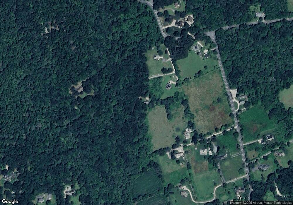
Map
Nearby Homes
- 19 Seabury Ln
- 189 Brayton Point Rd
- 255 John Dyer Rd
- 304 Brayton Point Rd
- 245 John Dyer Rd
- 1749 Main Rd
- 505 Long Hwy
- 1881 Main Rd
- 1580 Main Rd
- 128 Maple Ave
- 18 Old Barn Rd
- 0 Reed Rd (Ss)
- 1346 Main Rd Unit B
- 17 Quail Trail
- 1702J Drift Rd
- 1702 Drift Rd
- 0 Willow Ave
- 116 Amy Hart Path
- 141 S Of Commons Rd
- 83 Long Hwy
- 673 Old Harbor Rd
- 671 Old Harbor Rd
- 49 Howland Rd
- 685 Old Harbor Rd
- 53 Howland Rd
- 662 Old Harbor Rd
- 662 Old Harbor Rd
- 666 Old Harbor Rd
- 664 Old Harbor Rd
- 61 Howland Rd
- 45 Howland Rd
- 660 Old Harbor Rd
- 654 Old Harbor Rd
- 33 Whistler Point Rd
- 601 Old Harbor Rd
- 81 Howland Rd
- 50 Howland Rd
- 658 Old Harbor Rd
- 652 Old Harbor Rd
- 78 Howland Rd