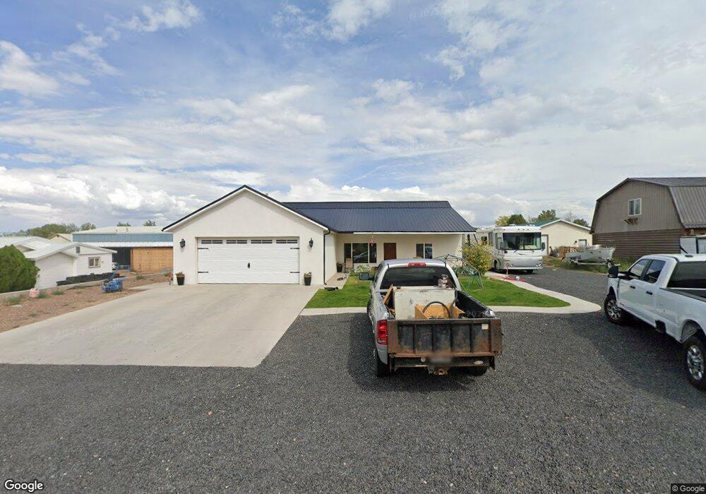
675 S 150 E Enterprise, UT 84725
Estimated Value: $549,000 - $709,000
5
Beds
3
Baths
1,986
Sq Ft
$307/Sq Ft
Est. Value
About This Home
This home is located at 675 S 150 E, Enterprise, UT 84725 and is currently estimated at $610,477, approximately $307 per square foot. 675 S 150 E is a home with nearby schools including Enterprise School and Enterprise High School.
Ownership History
Date
Name
Owned For
Owner Type
Purchase Details
Closed on
Nov 3, 2021
Sold by
Flanigan Curtis Troy and Flanigan Shelby
Bought by
Flanigan Curtis Troy and Flanigan Shelby
Current Estimated Value
Home Financials for this Owner
Home Financials are based on the most recent Mortgage that was taken out on this home.
Original Mortgage
$329,500
Outstanding Balance
$298,738
Interest Rate
2.99%
Mortgage Type
New Conventional
Estimated Equity
$311,739
Purchase Details
Closed on
Aug 28, 2020
Sold by
Alger John and Alger Annette
Bought by
Flanigan Curtis Troy and Flanigan Shelby
Create a Home Valuation Report for This Property
The Home Valuation Report is an in-depth analysis detailing your home's value as well as a comparison with similar homes in the area
Purchase History
| Date | Buyer | Sale Price | Title Company |
|---|---|---|---|
| Flanigan Curtis Troy | -- | Accommodation | |
| Flanigan Curtis Troy | -- | Southern Utah Title Co |
Source: Public Records
Mortgage History
| Date | Status | Borrower | Loan Amount |
|---|---|---|---|
| Open | Flanigan Curtis Troy | $329,500 |
Source: Public Records
Tax History
| Year | Tax Paid | Tax Assessment Tax Assessment Total Assessment is a certain percentage of the fair market value that is determined by local assessors to be the total taxable value of land and additions on the property. | Land | Improvement |
|---|---|---|---|---|
| 2025 | $2,299 | $327,470 | $46,200 | $281,270 |
| 2023 | $2,250 | $318,450 | $33,000 | $285,450 |
| 2022 | $5,588 | $607,300 | $60,000 | $547,300 |
| 2021 | $405 | $44,000 | $44,000 | $0 |
| 2020 | $112 | $34,000 | $34,000 | $0 |
| 2019 | $252 | $25,000 | $25,000 | $0 |
| 2018 | $234 | $21,000 | $0 | $0 |
| 2017 | $167 | $15,000 | $0 | $0 |
| 2016 | $241 | $20,000 | $0 | $0 |
| 2015 | $249 | $20,000 | $0 | $0 |
| 2014 | $312 | $25,000 | $0 | $0 |
Source: Public Records
Map
Nearby Homes
Your Personal Tour Guide
Ask me questions while you tour the home.