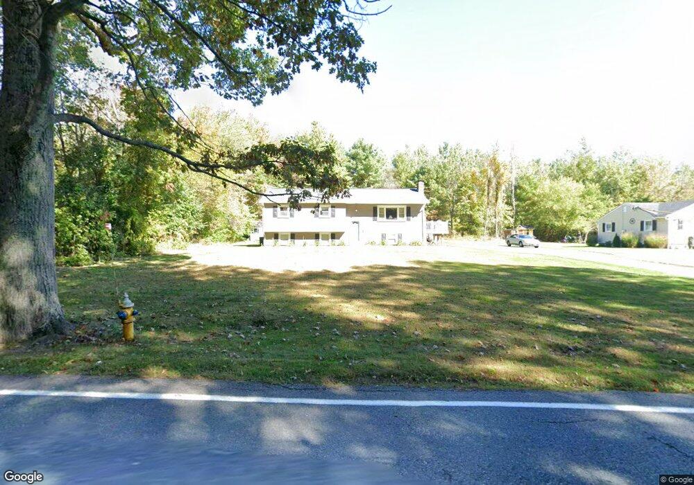
675 Sterling Rd Lancaster, MA 01523
Estimated Value: $475,600 - $583,000
3
Beds
2
Baths
1,200
Sq Ft
$439/Sq Ft
Est. Value
About This Home
This home is located at 675 Sterling Rd, Lancaster, MA 01523 and is currently estimated at $526,650, approximately $438 per square foot. 675 Sterling Rd is a home located in Worcester County with nearby schools including Mary Rowlandson Elementary School, Luther Burbank Middle School, and Nashoba Regional High School.
Ownership History
Date
Name
Owned For
Owner Type
Purchase Details
Closed on
Mar 8, 1996
Sold by
Harris Carolyn
Bought by
Harris Michael E and Harris Pamela
Current Estimated Value
Create a Home Valuation Report for This Property
The Home Valuation Report is an in-depth analysis detailing your home's value as well as a comparison with similar homes in the area
Home Values in the Area
Average Home Value in this Area
Purchase History
| Date | Buyer | Sale Price | Title Company |
|---|---|---|---|
| Harris Michael E | $140,000 | -- |
Source: Public Records
Mortgage History
| Date | Status | Borrower | Loan Amount |
|---|---|---|---|
| Open | Harris Michael E | $196,000 | |
| Closed | Harris Michael E | $161,000 |
Source: Public Records
Tax History Compared to Growth
Tax History
| Year | Tax Paid | Tax Assessment Tax Assessment Total Assessment is a certain percentage of the fair market value that is determined by local assessors to be the total taxable value of land and additions on the property. | Land | Improvement |
|---|---|---|---|---|
| 2025 | $6,690 | $414,000 | $106,800 | $307,200 |
| 2024 | $6,762 | $387,300 | $99,400 | $287,900 |
| 2023 | $6,472 | $376,500 | $90,400 | $286,100 |
| 2022 | $6,135 | $315,400 | $93,700 | $221,700 |
| 2021 | $5,840 | $292,300 | $93,700 | $198,600 |
| 2020 | $6,449 | $324,900 | $93,700 | $231,200 |
| 2019 | $5,716 | $289,400 | $93,700 | $195,700 |
| 2018 | $5,415 | $271,000 | $93,700 | $177,300 |
| 2016 | $5,003 | $255,900 | $92,900 | $163,000 |
| 2015 | $4,758 | $253,600 | $92,900 | $160,700 |
| 2014 | $4,508 | $238,400 | $92,900 | $145,500 |
Source: Public Records
Map
Nearby Homes
- 1116 George Hill Rd
- 54 S Meadow Rd
- 290 Sterling St
- 19 Magnolia Ave
- 0 Parker Rd
- 76 Sterling St
- 85 Prescott St
- 20 Willow St
- 23 Bennett Ln
- 29 Bennett Ln
- 92 Mill St
- 136 Mill St
- 51 Rigby St
- 22 Forest Ave
- 132 Kilbourn Rd
- 1 Grady St
- 201-203 Stone St
- 201 Stone St Unit 203
- 53 Beach Point Rd
- 55 Sterling St Unit 306
- 663 Sterling Rd
- 691 Sterling Rd
- 651 Sterling Rd
- 707 Sterling Rd
- 637 Sterling Rd
- 625 Sterling Rd
- 1129 George Hill Rd
- 83 Shannon Way
- 548 Sterling Rd
- 1127 George Hill Rd
- 1073 George Hill Rd
- 75 Shannon Way
- 1053 George Hill Rd
- 75 Shannon Way
- 1011 George Hill Rd
- 1029 George Hill Rd
- 995 George Hill Rd
- 975 George Hill Rd
- 76 Shannon Way
- 76 Shannon Way Unit 1