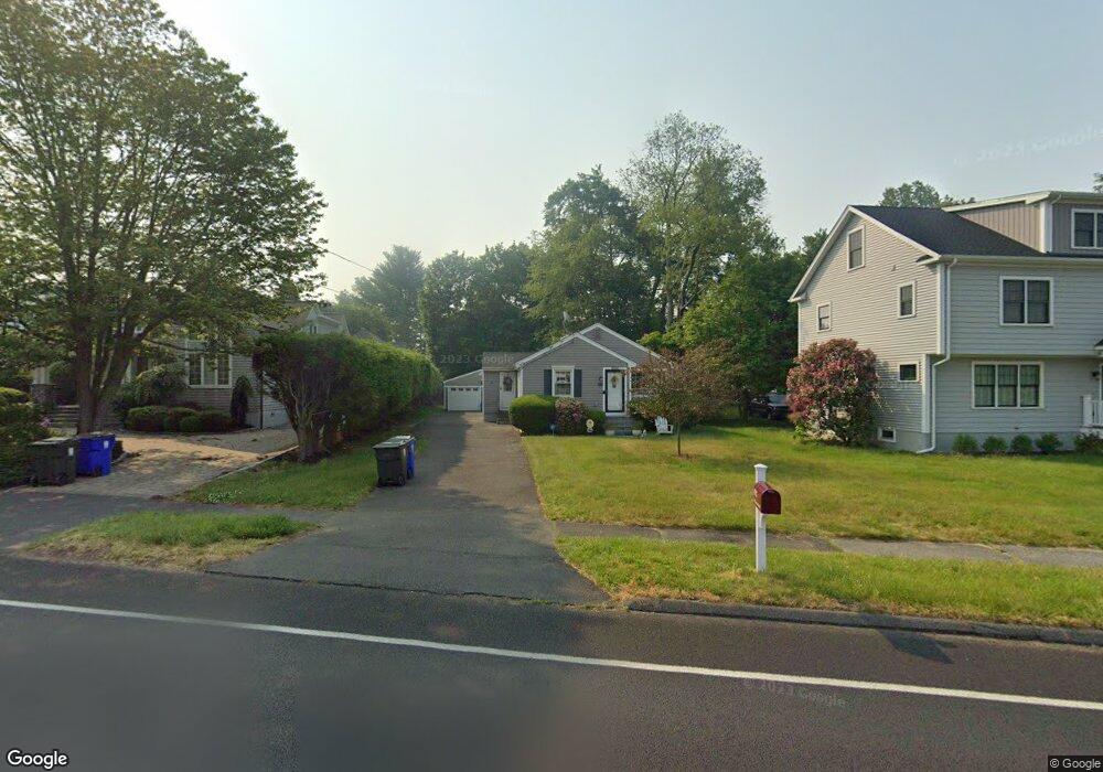
675 Stillson Rd Fairfield, CT 06824
University NeighborhoodEstimated Value: $578,000 - $1,128,000
2
Beds
1
Bath
1,095
Sq Ft
$717/Sq Ft
Est. Value
About This Home
This home is located at 675 Stillson Rd, Fairfield, CT 06824 and is currently estimated at $785,582, approximately $717 per square foot. 675 Stillson Rd is a home located in Fairfield County with nearby schools including Osborn Hill Elementary School, Fairfield Woods Middle School, and Fairfield Ludlowe High School.
Ownership History
Date
Name
Owned For
Owner Type
Purchase Details
Closed on
Jan 24, 2022
Sold by
Fonte-Cedeno Lizette G
Bought by
Cedeno Luis and Fonte-Cedeno Lizette G
Current Estimated Value
Home Financials for this Owner
Home Financials are based on the most recent Mortgage that was taken out on this home.
Original Mortgage
$280,800
Outstanding Balance
$223,377
Interest Rate
2.62%
Mortgage Type
Stand Alone Refi Refinance Of Original Loan
Estimated Equity
$562,205
Purchase Details
Closed on
Sep 13, 2005
Sold by
Rosenbluh Jerold and Rosenbluh Francine
Bought by
Rosen Robert
Home Financials for this Owner
Home Financials are based on the most recent Mortgage that was taken out on this home.
Original Mortgage
$298,000
Interest Rate
5.79%
Create a Home Valuation Report for This Property
The Home Valuation Report is an in-depth analysis detailing your home's value as well as a comparison with similar homes in the area
Home Values in the Area
Average Home Value in this Area
Purchase History
| Date | Buyer | Sale Price | Title Company |
|---|---|---|---|
| Cedeno Luis | -- | None Available | |
| Cedeno Luis | -- | None Available | |
| Cedeno Luis | -- | None Available | |
| Rosen Robert | $372,500 | -- | |
| Rosen Robert | $372,500 | -- |
Source: Public Records
Mortgage History
| Date | Status | Borrower | Loan Amount |
|---|---|---|---|
| Open | Cedeno Luis | $280,800 | |
| Closed | Cedeno Luis | $280,800 | |
| Previous Owner | Rosen Robert | $346,000 | |
| Previous Owner | Rosen Robert | $298,000 |
Source: Public Records
Tax History Compared to Growth
Tax History
| Year | Tax Paid | Tax Assessment Tax Assessment Total Assessment is a certain percentage of the fair market value that is determined by local assessors to be the total taxable value of land and additions on the property. | Land | Improvement |
|---|---|---|---|---|
| 2025 | $7,689 | $270,830 | $222,250 | $48,580 |
| 2024 | $7,556 | $270,830 | $222,250 | $48,580 |
| 2023 | $7,451 | $270,830 | $222,250 | $48,580 |
| 2022 | $7,377 | $270,830 | $222,250 | $48,580 |
| 2021 | $7,307 | $270,830 | $222,250 | $48,580 |
| 2020 | $6,203 | $231,560 | $182,560 | $49,000 |
| 2019 | $6,203 | $231,560 | $182,560 | $49,000 |
| 2018 | $6,104 | $231,560 | $182,560 | $49,000 |
| 2017 | $5,979 | $231,560 | $182,560 | $49,000 |
| 2016 | $5,893 | $231,560 | $182,560 | $49,000 |
| 2015 | $5,985 | $241,430 | $192,080 | $49,350 |
| 2014 | $5,891 | $241,430 | $192,080 | $49,350 |
Source: Public Records
Map
Nearby Homes
- 706 Judd St
- 115 Mayfair Rd
- 210 Pansy Rd
- 242 Valleyview Rd
- 34 Ridgedale Rd
- 359 Reid St
- 59 Thornhill Rd
- 1137 Stillson Rd
- 1165 Stillson Rd
- 270 Oakwood Dr
- 1207 Stillson Rd
- 1009 High St
- 45 Robin Cir
- 271 Jeniford Rd
- 3 Old Black Rock Turnpike
- 143 Sawyer Rd
- 162 Country Rd Unit 162
- 31 High Ridge Rd
- 152 Roseville St
- 148 Roseville St