675 Tahoe Ln Zion Grove, PA 17985
Estimated Value: $235,044 - $287,000
3
Beds
2
Baths
1,415
Sq Ft
$183/Sq Ft
Est. Value
About This Home
This home is located at 675 Tahoe Ln, Zion Grove, PA 17985 and is currently estimated at $259,261, approximately $183 per square foot. 675 Tahoe Ln is a home with nearby schools including Hazleton Area High School.
Ownership History
Date
Name
Owned For
Owner Type
Purchase Details
Closed on
Jul 6, 2005
Sold by
Cendant Mobility Goverment Financial Ser
Bought by
Yarns David C and Yarns Lisa
Current Estimated Value
Home Financials for this Owner
Home Financials are based on the most recent Mortgage that was taken out on this home.
Original Mortgage
$28,700
Interest Rate
5.63%
Mortgage Type
Seller Take Back
Purchase Details
Closed on
Mar 22, 2005
Sold by
Fellin Michael J and Fellin Helen Mary
Bought by
Cendant Mobility Financial Services Corp
Home Financials for this Owner
Home Financials are based on the most recent Mortgage that was taken out on this home.
Original Mortgage
$114,800
Interest Rate
7.4%
Mortgage Type
Adjustable Rate Mortgage/ARM
Create a Home Valuation Report for This Property
The Home Valuation Report is an in-depth analysis detailing your home's value as well as a comparison with similar homes in the area
Home Values in the Area
Average Home Value in this Area
Purchase History
| Date | Buyer | Sale Price | Title Company |
|---|---|---|---|
| Yarns David C | $143,500 | None Available | |
| Cendant Mobility Financial Services Corp | $145,500 | None Available |
Source: Public Records
Mortgage History
| Date | Status | Borrower | Loan Amount |
|---|---|---|---|
| Closed | Yarns David C | $28,700 | |
| Previous Owner | Cendant Mobility Financial Services Corp | $114,800 |
Source: Public Records
Tax History Compared to Growth
Tax History
| Year | Tax Paid | Tax Assessment Tax Assessment Total Assessment is a certain percentage of the fair market value that is determined by local assessors to be the total taxable value of land and additions on the property. | Land | Improvement |
|---|---|---|---|---|
| 2025 | $2,264 | $35,950 | $7,500 | $28,450 |
| 2024 | $2,084 | $35,950 | $7,500 | $28,450 |
| 2023 | $2,042 | $35,950 | $7,500 | $28,450 |
| 2022 | $2,082 | $35,950 | $7,500 | $28,450 |
| 2021 | $1,990 | $35,950 | $7,500 | $28,450 |
| 2020 | $1,977 | $35,950 | $7,500 | $28,450 |
| 2018 | $2,020 | $35,950 | $7,500 | $28,450 |
| 2017 | $1,970 | $35,950 | $7,500 | $28,450 |
| 2015 | -- | $35,950 | $7,500 | $28,450 |
| 2011 | -- | $35,950 | $0 | $0 |
Source: Public Records
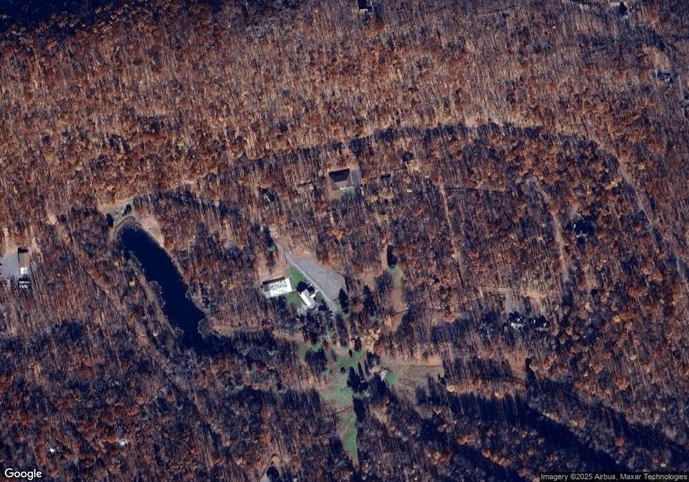
Map
Nearby Homes
- HF4.214 Green Ash Ln
- 2 Princess Dr
- 262 Madonna Ln
- 580 Chamonix Ln
- 271 Camelback Ln
- 427 Camel Back Ln
- 556-557 Hay Stack Dr
- 447-448 Hay Stack Dr
- 130 Spring Mountain Dr
- 123 Spring Mountain Dr
- 117 Spring Mountain Dr
- 116 Spring Mountain Dr
- 124 Spring Mountain Dr
- 374 Davos Cir
- 357 White Face Cir
- 50 Alpine Dr
- 49 Alpine Dr
- 81 Schoolhouse Rd
- 0 Timothy Dr