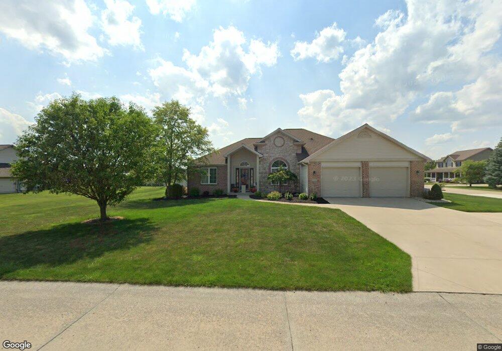
675 William Ave Delphos, OH 45833
Estimated Value: $290,000 - $567,000
3
Beds
3
Baths
1,912
Sq Ft
$201/Sq Ft
Est. Value
About This Home
This home is located at 675 William Ave, Delphos, OH 45833 and is currently estimated at $384,552, approximately $201 per square foot. 675 William Ave is a home located in Van Wert County with nearby schools including Delphos St. John's High School and Delphos St. John's Elementary School.
Ownership History
Date
Name
Owned For
Owner Type
Purchase Details
Closed on
Sep 13, 2018
Sold by
Wolfe Kevin J and Wolfe Brenda K
Bought by
Hesseling Kory and Hesseling Alyssa
Current Estimated Value
Purchase Details
Closed on
Oct 2, 2013
Sold by
Cross Jason L and Cross Christine M
Bought by
Wolfe Kevin J and Wolfe Brenda K
Home Financials for this Owner
Home Financials are based on the most recent Mortgage that was taken out on this home.
Original Mortgage
$181,600
Interest Rate
4.23%
Mortgage Type
New Conventional
Create a Home Valuation Report for This Property
The Home Valuation Report is an in-depth analysis detailing your home's value as well as a comparison with similar homes in the area
Home Values in the Area
Average Home Value in this Area
Purchase History
| Date | Buyer | Sale Price | Title Company |
|---|---|---|---|
| Hesseling Kory | $243,000 | None Available | |
| Wolfe Kevin J | $227,000 | Maumee Valley Title Agency |
Source: Public Records
Mortgage History
| Date | Status | Borrower | Loan Amount |
|---|---|---|---|
| Previous Owner | Wolfe Kevin J | $181,600 |
Source: Public Records
Tax History Compared to Growth
Tax History
| Year | Tax Paid | Tax Assessment Tax Assessment Total Assessment is a certain percentage of the fair market value that is determined by local assessors to be the total taxable value of land and additions on the property. | Land | Improvement |
|---|---|---|---|---|
| 2024 | $3,159 | $112,730 | $12,650 | $100,080 |
| 2023 | $3,159 | $112,730 | $12,650 | $100,080 |
| 2022 | $2,983 | $97,530 | $7,640 | $89,890 |
| 2021 | $2,993 | $97,530 | $7,640 | $89,890 |
| 2020 | $3,069 | $97,530 | $7,640 | $89,890 |
| 2019 | $2,388 | $83,700 | $7,640 | $76,060 |
| 2018 | $2,392 | $83,700 | $7,640 | $76,060 |
| 2017 | $2,134 | $74,230 | $7,640 | $66,590 |
| 2016 | $1,986 | $69,920 | $7,640 | $62,280 |
| 2015 | $1,986 | $69,920 | $7,640 | $62,280 |
| 2014 | $2,084 | $72,550 | $7,640 | $64,910 |
| 2013 | $2,221 | $69,920 | $7,640 | $62,280 |
Source: Public Records
Map
Nearby Homes
- 604 W 6th St
- 616 W 5th St
- 503 W 6th St
- 409 N Bredeick St
- 610 N Washington St
- 810 N Franklin St
- 704 N Franklin St
- 210 E 3rd St
- 405 N Franklin St
- 628 N Pierce St
- 221 S Main St
- 606 S Cass St
- 424 S Canal St
- 634 S Clay St
- 650 E 6th St
- 516 S Main St
- 11630 Clearview Dr
- 508 S Washington St
- 633 E 2nd St
- 821 E 3rd St