675 Yocumtown Rd Etters, PA 17319
Estimated Value: $395,000 - $533,025
4
Beds
3
Baths
2,472
Sq Ft
$188/Sq Ft
Est. Value
About This Home
This home is located at 675 Yocumtown Rd, Etters, PA 17319 and is currently estimated at $464,013, approximately $187 per square foot. 675 Yocumtown Rd is a home located in York County with nearby schools including Red Mill Elementary School, Crossroads Middle School, and Red Land Senior High School.
Ownership History
Date
Name
Owned For
Owner Type
Purchase Details
Closed on
May 23, 2013
Sold by
Bowser Darlene A and Bowser Reese Darlene
Bought by
Bowser Reese Darlene
Current Estimated Value
Home Financials for this Owner
Home Financials are based on the most recent Mortgage that was taken out on this home.
Original Mortgage
$78,000
Outstanding Balance
$55,147
Interest Rate
3.43%
Mortgage Type
New Conventional
Estimated Equity
$408,866
Purchase Details
Closed on
Jan 14, 1980
Bought by
Bowser Darlene A
Create a Home Valuation Report for This Property
The Home Valuation Report is an in-depth analysis detailing your home's value as well as a comparison with similar homes in the area
Home Values in the Area
Average Home Value in this Area
Purchase History
| Date | Buyer | Sale Price | Title Company |
|---|---|---|---|
| Bowser Reese Darlene | -- | None Available | |
| Bowser Darlene A | -- | -- |
Source: Public Records
Mortgage History
| Date | Status | Borrower | Loan Amount |
|---|---|---|---|
| Open | Bowser Reese Darlene | $78,000 |
Source: Public Records
Tax History Compared to Growth
Tax History
| Year | Tax Paid | Tax Assessment Tax Assessment Total Assessment is a certain percentage of the fair market value that is determined by local assessors to be the total taxable value of land and additions on the property. | Land | Improvement |
|---|---|---|---|---|
| 2025 | $4,637 | $167,370 | $6,070 | $161,300 |
| 2024 | $6,060 | $167,370 | $6,070 | $161,300 |
| 2023 | $4,145 | $167,370 | $6,070 | $161,300 |
| 2022 | $4,132 | $167,370 | $6,070 | $161,300 |
| 2021 | $3,894 | $167,370 | $6,070 | $161,300 |
| 2020 | $3,848 | $167,370 | $6,070 | $161,300 |
| 2019 | $3,750 | $167,370 | $6,070 | $161,300 |
| 2018 | $3,720 | $167,370 | $6,070 | $161,300 |
| 2017 | $3,619 | $167,370 | $6,070 | $161,300 |
| 2016 | $0 | $167,370 | $6,070 | $161,300 |
| 2015 | -- | $166,830 | $5,530 | $161,300 |
| 2014 | -- | $166,360 | $5,060 | $161,300 |
Source: Public Records
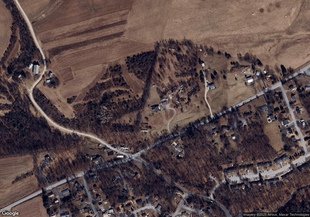
Map
Nearby Homes
- 321 Juniper Dr
- 300 Juniper Dr
- 244 Juniper Dr
- 200 Juniper Dr
- 30 Highland Cir
- 10 Fargreen Ct Unit 1E
- 1330 Valley Green Rd
- 25 Killinger Rd
- 300 Valley Rd
- 60 S Ben Hogan Dr
- 322 Valley Rd
- 60 Red Barberry Dr
- 28 White Dogwood Dr
- 73 Rose of Sharon Dr
- 45 Red Barberry Dr
- Lot 48 Scarlet Oak Dr
- Lot 29 Scarlet Oak Dr
- Lot 50 Scarlet Oak Dr
- Lot 49 Scarlet Oak Dr
- Lot 47 Scarlet Oak Dr
- 640 Yocumtown Rd
- 895 Valley Green Rd
- 585 Yocumtown Rd
- 580 Yocumtown Rd
- 905 Valley Green Rd
- 570 Yocumtown Rd
- 745 Yocumtown Rd
- 720 Yocumtown Rd
- 985 Valley Green Rd
- 90 Burning Brush Cir
- 730 Yocumtown Rd
- 100 Burning Brush Cir
- 550 Yocumtown Rd
- 355 Juniper Dr
- 351 Juniper Dr
- 995 Valley Green Rd
- 1 Shamrock Ln
- 80 Burning Brush Cir
- 347 Juniper Dr
- 515 Yocumtown Rd