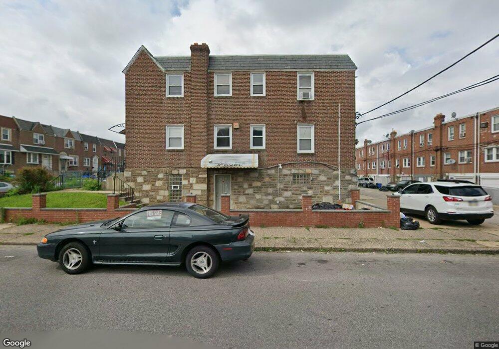
6750 Sylvester St Philadelphia, PA 19149
Castor Gardens NeighborhoodEstimated Value: $341,000 - $471,311
--
Bed
--
Bath
1,640
Sq Ft
$238/Sq Ft
Est. Value
About This Home
This home is located at 6750 Sylvester St, Philadelphia, PA 19149 and is currently estimated at $390,770, approximately $238 per square foot. 6750 Sylvester St is a home located in Philadelphia County with nearby schools including Gilbert Spruance School, Northeast High School, and Gospel of Grace Christian School.
Ownership History
Date
Name
Owned For
Owner Type
Purchase Details
Closed on
May 14, 2004
Sold by
Pagano George
Bought by
Xhori Jorgo and Xhori Amila
Current Estimated Value
Home Financials for this Owner
Home Financials are based on the most recent Mortgage that was taken out on this home.
Original Mortgage
$112,500
Outstanding Balance
$44,587
Interest Rate
3.32%
Mortgage Type
Commercial
Estimated Equity
$346,183
Create a Home Valuation Report for This Property
The Home Valuation Report is an in-depth analysis detailing your home's value as well as a comparison with similar homes in the area
Home Values in the Area
Average Home Value in this Area
Purchase History
| Date | Buyer | Sale Price | Title Company |
|---|---|---|---|
| Xhori Jorgo | $150,000 | -- |
Source: Public Records
Mortgage History
| Date | Status | Borrower | Loan Amount |
|---|---|---|---|
| Open | Xhori Jorgo | $112,500 |
Source: Public Records
Tax History Compared to Growth
Tax History
| Year | Tax Paid | Tax Assessment Tax Assessment Total Assessment is a certain percentage of the fair market value that is determined by local assessors to be the total taxable value of land and additions on the property. | Land | Improvement |
|---|---|---|---|---|
| 2025 | $3,416 | $324,000 | $64,800 | $259,200 |
| 2024 | $3,416 | $324,000 | $64,800 | $259,200 |
| 2023 | $3,416 | $244,000 | $48,800 | $195,200 |
| 2022 | $2,535 | $244,000 | $48,800 | $195,200 |
| 2021 | $2,535 | $0 | $0 | $0 |
| 2020 | $2,535 | $0 | $0 | $0 |
| 2019 | $2,433 | $0 | $0 | $0 |
| 2018 | $2,298 | $0 | $0 | $0 |
| 2017 | $2,298 | $0 | $0 | $0 |
| 2016 | $2,298 | $0 | $0 | $0 |
| 2015 | $2,200 | $0 | $0 | $0 |
| 2014 | -- | $164,200 | $33,397 | $130,803 |
| 2012 | -- | $19,520 | $2,573 | $16,947 |
Source: Public Records
Map
Nearby Homes
- 6826 Sylvester St
- 6640 Souder St
- 6829 Horrocks St
- 6725 Eastwood St
- 6621 Sylvester St
- 6627 Oakland St
- 6739 Lynford St
- 6900 Eastwood St
- 6834 Large St
- 6827 Lynford St
- 2011 Longshore Ave
- 6541 Souder St
- 1612 Magee Ave
- 6626 Lynford St
- 1604 Magee Ave
- 1600 Magee Ave
- 6946 Kindred St
- 2110 Longshore Ave
- 2119 Glenview St
- 1535 Hellerman St
- 6748 Sylvester St
- 6744 Sylvester St
- 6755 Horrocks St
- 6753 Horrocks St
- 6742 Sylvester St
- 6751 Horrocks St
- 6800 Sylvester St
- 6749 Horrocks St
- 6740 Sylvester St
- 6747 Horrocks St
- 6802 Sylvester St
- 6738 Sylvester St
- 6749 Sylvester St
- 6745 Horrocks St
- 6751 Sylvester St
- 6804 Sylvester St
- 6747 Sylvester St
- 6743 Horrocks St
- 6803 Horrocks St
- 6745 Sylvester St