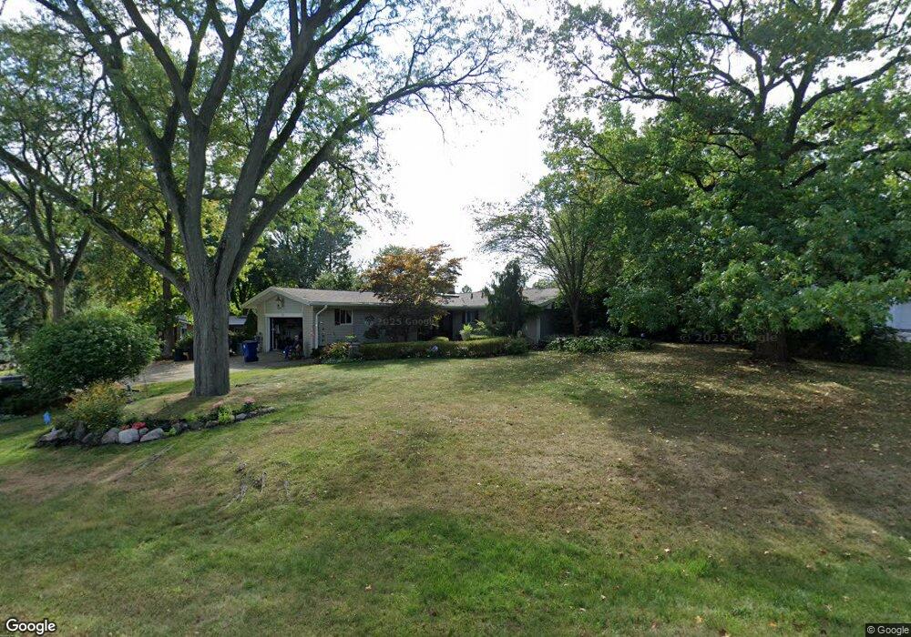
6750 White Pine Dr Unit Bldg-Unit Bloomfield Hills, MI 48301
Estimated Value: $514,000 - $592,000
3
Beds
3
Baths
1,715
Sq Ft
$320/Sq Ft
Est. Value
About This Home
This home is located at 6750 White Pine Dr Unit Bldg-Unit, Bloomfield Hills, MI 48301 and is currently estimated at $548,393, approximately $319 per square foot. 6750 White Pine Dr Unit Bldg-Unit is a home located in Oakland County with nearby schools including Conant Elementary School, South Hills Middle School, and Bloomfield Hills High School.
Ownership History
Date
Name
Owned For
Owner Type
Purchase Details
Closed on
Jan 21, 2022
Sold by
Nettler and Jay
Bought by
Nettler Karen and Slater Jay
Current Estimated Value
Purchase Details
Closed on
Feb 26, 2018
Sold by
Pitcher James
Bought by
Nettler Karen and Slater Jay
Purchase Details
Closed on
Aug 16, 2016
Sold by
Pitcher James
Bought by
Pitcher James and James W Pitcher Trust
Purchase Details
Closed on
Aug 24, 2011
Sold by
Jump Kevin and Laurenzi Jump Victoria
Bought by
Pitcher James
Create a Home Valuation Report for This Property
The Home Valuation Report is an in-depth analysis detailing your home's value as well as a comparison with similar homes in the area
Home Values in the Area
Average Home Value in this Area
Purchase History
| Date | Buyer | Sale Price | Title Company |
|---|---|---|---|
| Nettler Karen | -- | None Listed On Document | |
| Nettler Karen | $322,000 | None Available | |
| Pitcher James | -- | None Available | |
| Pitcher James | $215,000 | Interstate Title Inc |
Source: Public Records
Tax History Compared to Growth
Tax History
| Year | Tax Paid | Tax Assessment Tax Assessment Total Assessment is a certain percentage of the fair market value that is determined by local assessors to be the total taxable value of land and additions on the property. | Land | Improvement |
|---|---|---|---|---|
| 2024 | $3,466 | $221,000 | $0 | $0 |
| 2023 | $3,331 | $216,370 | $0 | $0 |
| 2022 | $6,260 | $193,380 | $0 | $0 |
| 2021 | $6,215 | $173,920 | $0 | $0 |
| 2020 | $3,047 | $173,750 | $0 | $0 |
| 2019 | $5,849 | $157,180 | $0 | $0 |
| 2018 | $3,764 | $136,360 | $0 | $0 |
| 2017 | $3,737 | $132,420 | $0 | $0 |
| 2016 | $3,682 | $125,190 | $0 | $0 |
| 2015 | -- | $119,770 | $0 | $0 |
| 2014 | -- | $105,060 | $0 | $0 |
| 2011 | -- | $100,050 | $0 | $0 |
Source: Public Records
Map
Nearby Homes
- 6660 Woodbank Dr
- 6952 Sandalwood Dr
- 6572 Spruce Dr
- 4017 Hidden Woods Dr
- 750 Trailwood Path Unit B
- 1760 Trailwood Path
- 7200 Telegraph Rd
- 6940 Wing Lake Rd
- 6450 Gilbert Lake Rd
- 3880 Oakland Dr
- 7357 W Greenwich Dr
- 4428 Old Trinity Ct
- 6701 Franklin Rd
- 5904 Wing Lake Rd
- 32890 Whatley Rd
- 23301 W 14 Mile Rd
- 24459 Bloomington Ct
- 5741 Snowshoe Cir
- 5671 Shadow Ln
- 5592 N Adams Way
- 6750 White Pine Dr
- 6758 White Pine Dr
- 6734 White Pine Dr
- 6777 Cedarbrook Dr
- 6751 White Pine Ct
- 6770 White Pine Dr
- 6726 White Pine Dr
- 6765 Woodbank Dr
- 6731 White Pine Ct
- 6785 Cedarbrook Dr
- 6727 White Pine Dr
- 6767 White Pine Dr
- 6757 White Pine Dr
- 6780 White Pine Dr
- 6743 White Pine Ct
- 6747 White Pine Ct
- 6723 White Pine Dr
- 6795 Cedarbrook Dr
- 6777 White Pine Dr
- 6775 Cedarbrook Dr