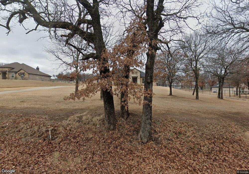
6751 Weiland Rd Weatherford, TX 76088
Estimated Value: $476,000 - $558,000
4
Beds
3
Baths
2,249
Sq Ft
$237/Sq Ft
Est. Value
About This Home
This home is located at 6751 Weiland Rd, Weatherford, TX 76088 and is currently estimated at $531,999, approximately $236 per square foot. 6751 Weiland Rd is a home located in Parker County with nearby schools including Seguin Elementary School, Tison Middle School, and Weatherford High School.
Ownership History
Date
Name
Owned For
Owner Type
Purchase Details
Closed on
Dec 3, 2020
Sold by
Cabrera Lindy S
Bought by
Rushlow Deborah Jean and Rushlow Gordon Oliver
Current Estimated Value
Purchase Details
Closed on
Jun 1, 2018
Sold by
Noc One Inc
Bought by
Cabrera Lindy S
Home Financials for this Owner
Home Financials are based on the most recent Mortgage that was taken out on this home.
Original Mortgage
$306,903
Interest Rate
4.5%
Mortgage Type
FHA
Purchase Details
Closed on
Sep 20, 2017
Sold by
Wilson David Kyle and Hansbro Jerry
Bought by
Noc One Inc
Home Financials for this Owner
Home Financials are based on the most recent Mortgage that was taken out on this home.
Original Mortgage
$244,400
Interest Rate
3.9%
Mortgage Type
Construction
Create a Home Valuation Report for This Property
The Home Valuation Report is an in-depth analysis detailing your home's value as well as a comparison with similar homes in the area
Home Values in the Area
Average Home Value in this Area
Purchase History
| Date | Buyer | Sale Price | Title Company |
|---|---|---|---|
| Rushlow Deborah Jean | -- | Ftt | |
| Cabrera Lindy S | -- | Providence Title Company | |
| Noc One Inc | -- | Capital Title |
Source: Public Records
Mortgage History
| Date | Status | Borrower | Loan Amount |
|---|---|---|---|
| Previous Owner | Cabrera Lindy S | $306,903 | |
| Previous Owner | Noc One Inc | $244,400 |
Source: Public Records
Tax History Compared to Growth
Tax History
| Year | Tax Paid | Tax Assessment Tax Assessment Total Assessment is a certain percentage of the fair market value that is determined by local assessors to be the total taxable value of land and additions on the property. | Land | Improvement |
|---|---|---|---|---|
| 2025 | $4,411 | $438,214 | -- | -- |
| 2024 | $4,411 | $398,376 | -- | -- |
| 2023 | $4,411 | $362,160 | $0 | $0 |
| 2022 | $6,130 | $329,240 | $65,000 | $264,240 |
| 2021 | $6,631 | $329,240 | $65,000 | $264,240 |
| 2020 | $6,543 | $322,570 | $50,000 | $272,570 |
| 2019 | $6,980 | $322,560 | $50,000 | $272,560 |
| 2018 | $3,232 | $148,570 | $50,000 | $98,570 |
Source: Public Records
Map
Nearby Homes
- 4951 N Fm 51
- 1060 Scott Rd
- 265 Dill Rd
- 1040 Ray's Way
- 134 Hedges Cir
- TBD Murray Rd
- 106 Hedges Cir
- 3470 Old Agnes Rd
- 4005 Farm To Market 51
- 1000 Rays Way
- 4005 N Fm 51
- 151 Kriston Ln
- 3915 N Fm 51
- 505 Aermotor Loop
- 181 Fan Mill Trail
- 197 Fan Mill Trail
- 514 Blue Sky Ct
- 2000 Collin St
- 5885-A Old Springtown Rd
- 5885-B Old Springtown Rd
- 6741 Weiland Rd
- 6761 Weiland Rd
- 6775 Weiland Rd
- 6765 Weiland Rd
- 6651 Weiland Rd
- 6769 Weiland Rd
- 6781 Weiland Rd
- 6791 Weiland Rd
- 6930 Weiland Rd
- 6441 Weiland Rd
- 6440 Weiland Rd
- 6300 Weiland Rd
- 7370 Weiland Rd
- 6291 Weiland Rd
- 510 Scott Rd
- 6250 Weiland Rd
- 6120 Weiland Rd
- 5051 N Fm 51
- 600 Scott Rd
- 6147 Weiland Rd