6752 Stark Rd Seffner, FL 33584
Estimated Value: $182,000 - $240,000
3
Beds
1
Bath
1,029
Sq Ft
$211/Sq Ft
Est. Value
About This Home
This home is located at 6752 Stark Rd, Seffner, FL 33584 and is currently estimated at $216,912, approximately $210 per square foot. 6752 Stark Rd is a home located in Hillsborough County with nearby schools including Mcdonald Elementary School, Jennings Middle School, and Armwood High School.
Ownership History
Date
Name
Owned For
Owner Type
Purchase Details
Closed on
Oct 3, 2025
Sold by
Aml Services Corp
Bought by
Aml Services Corp
Current Estimated Value
Home Financials for this Owner
Home Financials are based on the most recent Mortgage that was taken out on this home.
Original Mortgage
$1,042,800
Outstanding Balance
$1,041,857
Interest Rate
6.5%
Mortgage Type
New Conventional
Estimated Equity
-$824,945
Purchase Details
Closed on
Feb 9, 2018
Sold by
Na
Bought by
Aml Services Corp
Create a Home Valuation Report for This Property
The Home Valuation Report is an in-depth analysis detailing your home's value as well as a comparison with similar homes in the area
Home Values in the Area
Average Home Value in this Area
Purchase History
| Date | Buyer | Sale Price | Title Company |
|---|---|---|---|
| Aml Services Corp | -- | None Listed On Document | |
| Aml Services Corp | $30,100 | None Available |
Source: Public Records
Mortgage History
| Date | Status | Borrower | Loan Amount |
|---|---|---|---|
| Open | Aml Services Corp | $1,042,800 |
Source: Public Records
Tax History
| Year | Tax Paid | Tax Assessment Tax Assessment Total Assessment is a certain percentage of the fair market value that is determined by local assessors to be the total taxable value of land and additions on the property. | Land | Improvement |
|---|---|---|---|---|
| 2025 | $2,459 | $113,371 | $36,446 | $76,925 |
| 2024 | $2,459 | $112,020 | $33,888 | $78,132 |
| 2023 | $2,256 | $103,184 | $30,691 | $72,493 |
| 2022 | $2,236 | $108,856 | $26,535 | $82,321 |
| 2021 | $2,060 | $91,097 | $22,059 | $69,038 |
| 2020 | $1,931 | $88,560 | $21,100 | $67,460 |
| 2019 | $1,703 | $78,048 | $19,182 | $58,866 |
| 2018 | $1,499 | $73,294 | $0 | $0 |
| 2017 | $1,343 | $58,987 | $0 | $0 |
| 2016 | $1,410 | $61,890 | $0 | $0 |
| 2014 | $1,357 | $58,646 | $0 | $0 |
| 2013 | -- | $55,385 | $0 | $0 |
Source: Public Records
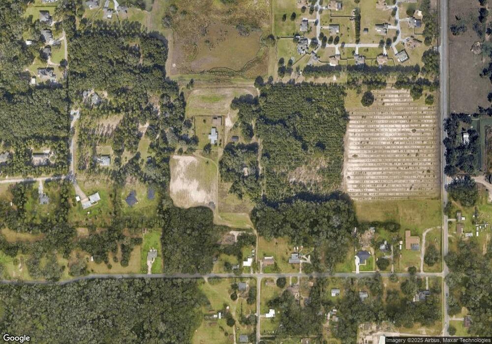
Map
Nearby Homes
- 11119 Bessie Dix Rd
- 11340 Bessie Dix Rd
- 579 W Us Highway 92
- 0 Stark Rd Unit MFRTB8438572
- 11357 Pruett Rd
- 10206 White Magnolia Square
- 10003 Benjamin Smith Dr
- 10140 White Magnolia Square
- 9475 Oakleaf Hammock Place
- 11305 Broadview Rd
- 11228 Marlborough Dr
- 9526 Clarkwild Place
- 9544 Clarkwild Place
- 9317 Lisbon St
- 10201 Timmons Rd
- 7405 Williams Rd
- TBD - LOT 76 Taylor Road Heritage Estates Phase 2
- 7607 Williams Rd
- 10190 Dolphin Gull Cir
- 9512 Summers Cay Cir
- 6764 Stark Rd
- 6838 Stark Rd
- 0 Stark Rd Unit T2889885
- 6716 Stark Rd
- 6846 Stark Rd
- 6720 Stark Rd
- 11418 Bessie Dix Rd
- 11502 Bessie Dix Rd
- 11416 Bessie Dix Rd
- 11380 Bessie Dix Rd
- 11504 Bessie Dix Rd
- 0 Bessie Dix Rd Unit T2929967
- 0 Bessie Dix Rd Unit T2303024
- 0 Bessie Dix Rd Unit T2322697
- 0 Bessie Dix Rd Unit T2858636
- 0 Bessie Dix Rd Unit 14490.0 224070217
- 0 Bessie Dix Rd Unit MFRA4624275
- 0 Bessie Dix Rd Unit 224070217
- 0 Bessie Dix Rd Unit MFRT3503928
- 11506 Bessie Dix Rd
Your Personal Tour Guide
Ask me questions while you tour the home.