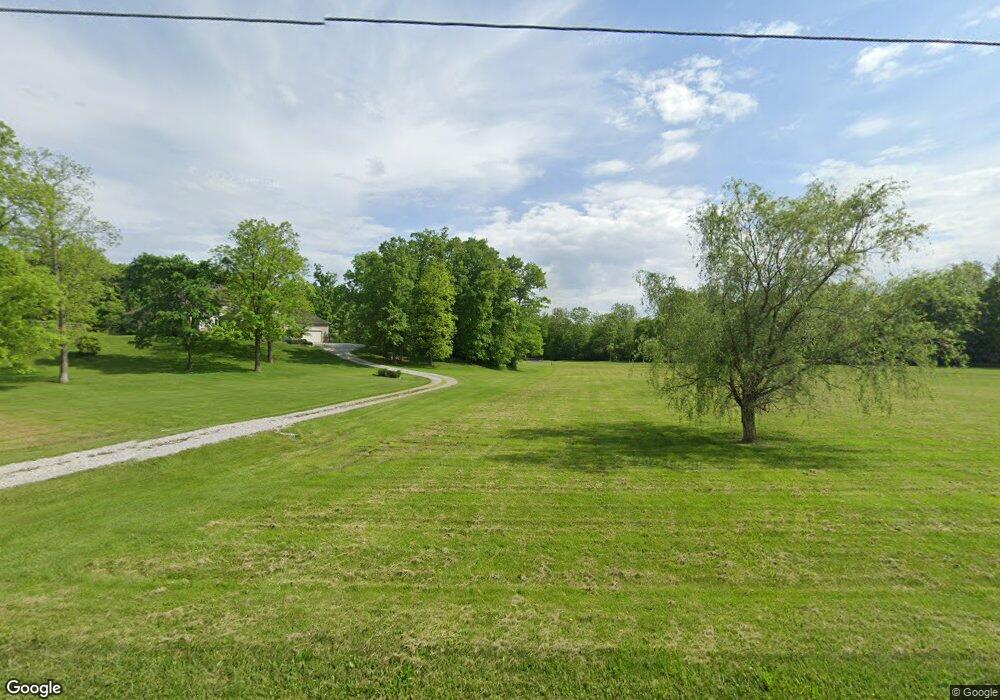
6755 Merchant Rd Delaware, OH 43015
Concord NeighborhoodEstimated Value: $684,000 - $1,714,000
4
Beds
4
Baths
3,747
Sq Ft
$305/Sq Ft
Est. Value
About This Home
This home is located at 6755 Merchant Rd, Delaware, OH 43015 and is currently estimated at $1,143,399, approximately $305 per square foot. 6755 Merchant Rd is a home located in Delaware County with nearby schools including Eli Pinney Elementary School, Willard Grizzell Middle School, and Dublin Jerome High School.
Ownership History
Date
Name
Owned For
Owner Type
Purchase Details
Closed on
Aug 12, 2020
Sold by
Rhoades Lennie D and Perry Marcia J
Bought by
Flores William S and Flores Ashley
Current Estimated Value
Home Financials for this Owner
Home Financials are based on the most recent Mortgage that was taken out on this home.
Original Mortgage
$1,320,000
Outstanding Balance
$1,170,933
Interest Rate
3%
Mortgage Type
New Conventional
Estimated Equity
-$27,534
Create a Home Valuation Report for This Property
The Home Valuation Report is an in-depth analysis detailing your home's value as well as a comparison with similar homes in the area
Home Values in the Area
Average Home Value in this Area
Purchase History
| Date | Buyer | Sale Price | Title Company |
|---|---|---|---|
| Flores William S | $1,650,000 | None Available |
Source: Public Records
Mortgage History
| Date | Status | Borrower | Loan Amount |
|---|---|---|---|
| Open | Flores William S | $1,320,000 |
Source: Public Records
Tax History Compared to Growth
Tax History
| Year | Tax Paid | Tax Assessment Tax Assessment Total Assessment is a certain percentage of the fair market value that is determined by local assessors to be the total taxable value of land and additions on the property. | Land | Improvement |
|---|---|---|---|---|
| 2024 | $15,445 | $300,410 | $73,540 | $226,870 |
| 2023 | $15,375 | $300,410 | $73,540 | $226,870 |
| 2022 | $10,791 | $194,320 | $52,500 | $141,820 |
| 2021 | $10,975 | $194,320 | $52,500 | $141,820 |
| 2020 | $11,938 | $194,320 | $52,500 | $141,820 |
| 2019 | $12,451 | $180,710 | $45,640 | $135,070 |
| 2018 | $12,577 | $180,710 | $45,640 | $135,070 |
| 2017 | $5,911 | $177,530 | $38,050 | $139,480 |
| 2016 | $11,874 | $177,530 | $38,050 | $139,480 |
| 2015 | $11,823 | $177,530 | $38,050 | $139,480 |
| 2014 | $11,952 | $177,530 | $38,050 | $139,480 |
| 2013 | $11,607 | $168,390 | $38,050 | $130,340 |
Source: Public Records
Map
Nearby Homes
- 8390 Whisper Trace
- 6512 Harriott Rd
- 0 Sunset Dr
- 0 N Park Place W Unit 225035823
- 60 Buckeye Dr
- 8159 Riverside Dr
- 6098 Dublin Rd
- Lehigh Plan at Applewood at Jerome Village
- Citadel Plan at Applewood at Jerome Village
- Emory Plan at Applewood at Jerome Village
- Bucknell Plan at Applewood at Jerome Village
- Dartmouth Plan at Applewood at Jerome Village
- Temple Plan at Applewood at Jerome Village
- Fordham II Plan at Applewood at Jerome Village
- Vanderbilt Plan at Applewood at Jerome Village
- Northwestern Plan at Applewood at Jerome Village
- 8108 Harriott Rd
- 7905 Glenmore Dr
- 7034 Aster Way
- 7004 Aster Way
- 6913 Merchant Rd
- 6481 Merchant Rd
- 6681 Merchant Rd
- 6641 Merchant Rd
- 6863 Merchant Rd
- 0 Merchant Rd Unit 2337972
- 0 Merchant Rd Unit 213026473
- 0 Merchant Rd Unit Lot 5 221023421
- 0 Merchant Rd Unit Lot 4 221023409
- 0 Merchant Rd Unit 10055191
- 0 Merchant Rd Unit 221015394
- 0 Merchant Rd Unit Lot 3 221008413
- 0 Merchant Rd Unit Lot 2 221008386
- 0 Merchant Rd Unit Lot 1 221008346
- 0 Merchant Rd
- 6515 Merchant Rd
- 6600 Cook Rd
- 6960 Cook Rd
- 6920 Cook Rd
- 6580 Cook Rd