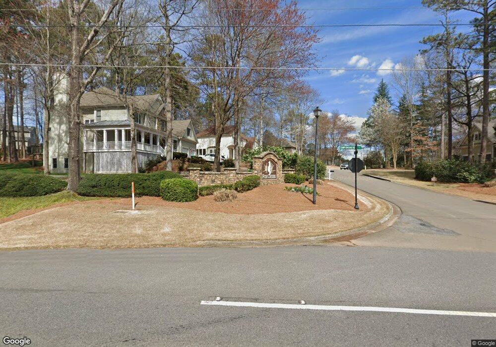
6756 Campground Rd Cumming, GA 30040
Estimated Value: $421,000 - $562,000
3
Beds
2
Baths
1,374
Sq Ft
$379/Sq Ft
Est. Value
About This Home
This home is located at 6756 Campground Rd, Cumming, GA 30040 and is currently estimated at $520,467, approximately $378 per square foot. 6756 Campground Rd is a home located in Forsyth County with nearby schools including Vickery Creek Middle School, West Forsyth High School, and Covenant Christian Academy.
Ownership History
Date
Name
Owned For
Owner Type
Purchase Details
Closed on
Apr 23, 2021
Sold by
Dover Sharon
Bought by
Lin Gang and Zhang Wenji
Current Estimated Value
Home Financials for this Owner
Home Financials are based on the most recent Mortgage that was taken out on this home.
Original Mortgage
$300,201
Outstanding Balance
$225,778
Interest Rate
3.1%
Mortgage Type
New Conventional
Estimated Equity
$294,689
Create a Home Valuation Report for This Property
The Home Valuation Report is an in-depth analysis detailing your home's value as well as a comparison with similar homes in the area
Home Values in the Area
Average Home Value in this Area
Purchase History
| Date | Buyer | Sale Price | Title Company |
|---|---|---|---|
| Lin Gang | $363,000 | -- |
Source: Public Records
Mortgage History
| Date | Status | Borrower | Loan Amount |
|---|---|---|---|
| Open | Lin Gang | $300,201 |
Source: Public Records
Tax History Compared to Growth
Tax History
| Year | Tax Paid | Tax Assessment Tax Assessment Total Assessment is a certain percentage of the fair market value that is determined by local assessors to be the total taxable value of land and additions on the property. | Land | Improvement |
|---|---|---|---|---|
| 2025 | $3,769 | $195,432 | $128,560 | $66,872 |
| 2024 | $3,769 | $178,816 | $113,436 | $65,380 |
| 2023 | $3,544 | $186,392 | $124,780 | $61,612 |
| 2022 | $3,505 | $106,540 | $60,860 | $45,680 |
| 2021 | $367 | $106,540 | $60,860 | $45,680 |
| 2020 | $365 | $104,184 | $60,860 | $43,324 |
| 2019 | $360 | $94,280 | $54,772 | $39,508 |
| 2018 | $360 | $79,840 | $54,772 | $25,068 |
| 2017 | $361 | $74,784 | $50,716 | $24,068 |
| 2016 | $347 | $64,640 | $40,572 | $24,068 |
| 2015 | $1,590 | $64,640 | $40,572 | $24,068 |
| 2014 | $1,467 | $62,920 | $0 | $0 |
Source: Public Records
Map
Nearby Homes
- 6797 Campground Rd
- 6610 Major Dr
- 6935 Black Fox Ln
- 7235 Compton Cir
- 6810 Black Fox Ln
- 7020 Weybridge Dr
- 6705 Fox Creek Dr
- 7105 Weybridge Dr
- 7640 Old Camp Landing
- Hendrickson w Bsmt Plan at Bridlefield - Highlands Collection
- Antoinette Plan at Bridlefield - Highlands Collection
- Peterson with Basement Plan at Bridlefield - Manor Collection
- Hendrickson Plan at Bridlefield - Highlands Collection
- Parkmont Plan at Bridlefield - Manor Collection
- Montadale with Basement Plan at Bridlefield - Highlands Collection
- Rosalynn Plan at Bridlefield - Manor Collection
- Antoinette with Basement Plan at Bridlefield - Highlands Collection
- Parkmont with Basement Plan at Bridlefield - Manor Collection
- Montadale Plan at Bridlefield - Highlands Collection
- Donington Plan at Bridlefield - Manor Collection
- 6758 Campground Rd
- 6830 Little Fox Trail
- 0 Campground Rd Unit 2953601
- 0 Campground Rd Unit 3104472
- 0 Campground Rd Unit 3104768
- 000 Campground Rd
- 0 Campground Rd Unit 4334096
- 00 Campground Rd
- 0 Campground Rd Unit 8140275
- 0 Campground Rd Unit 8597035
- 0 Campground Rd Unit 8277666
- 0 Campground Rd Unit 9047801
- 0 Campground Rd Unit 9032630
- 0 Campground Rd Unit 9034496
- 0 Campground Rd Unit 8965804
- 0 Campground Rd Unit 9075490
- 0 Campground Rd Unit 8847703
- 0 Campground Rd Unit 8576014
- 0 Campground Rd Unit 8722117
- 0 Campground Rd Unit 8933131