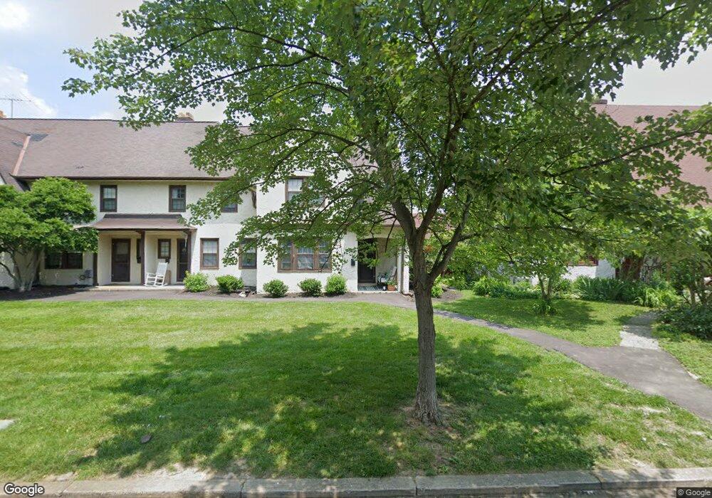
6756 Maple St Cincinnati, OH 45227
Estimated Value: $197,841 - $278,000
3
Beds
1
Bath
1,154
Sq Ft
$217/Sq Ft
Est. Value
About This Home
This home is located at 6756 Maple St, Cincinnati, OH 45227 and is currently estimated at $250,710, approximately $217 per square foot. 6756 Maple St is a home located in Hamilton County with nearby schools including Terrace Park Elementary School, Mariemont Elementary School, and Mariemont High School.
Ownership History
Date
Name
Owned For
Owner Type
Purchase Details
Closed on
May 2, 2008
Sold by
Mariemont Townhomes I Llc
Bought by
Mariemont Townhomes I Llc
Current Estimated Value
Purchase Details
Closed on
Jul 11, 2007
Sold by
Booth Richard T
Bought by
Mariemont Townhomes I Llc
Purchase Details
Closed on
Jan 10, 1995
Sold by
Lockhart John M and Andress Frank J
Bought by
Booth Richard T
Home Financials for this Owner
Home Financials are based on the most recent Mortgage that was taken out on this home.
Original Mortgage
$326,400
Interest Rate
9.2%
Create a Home Valuation Report for This Property
The Home Valuation Report is an in-depth analysis detailing your home's value as well as a comparison with similar homes in the area
Home Values in the Area
Average Home Value in this Area
Purchase History
| Date | Buyer | Sale Price | Title Company |
|---|---|---|---|
| Mariemont Townhomes I Llc | -- | Attorney | |
| Mariemont Townhomes I Llc | -- | Attorney | |
| Booth Richard T | -- | -- |
Source: Public Records
Mortgage History
| Date | Status | Borrower | Loan Amount |
|---|---|---|---|
| Previous Owner | Booth Richard T | $326,400 |
Source: Public Records
Tax History
| Year | Tax Paid | Tax Assessment Tax Assessment Total Assessment is a certain percentage of the fair market value that is determined by local assessors to be the total taxable value of land and additions on the property. | Land | Improvement |
|---|---|---|---|---|
| 2025 | $2,798 | $38,760 | $11,918 | $26,842 |
| 2023 | $2,549 | $38,760 | $11,918 | $26,842 |
| 2022 | $2,641 | $34,104 | $9,814 | $24,290 |
| 2021 | $2,628 | $34,104 | $9,814 | $24,290 |
| 2020 | $2,593 | $34,104 | $9,814 | $24,290 |
| 2019 | $2,504 | $29,708 | $8,610 | $21,098 |
| 2018 | $2,484 | $29,708 | $8,610 | $21,098 |
| 2017 | $2,152 | $29,708 | $8,610 | $21,098 |
| 2016 | $2,086 | $28,162 | $6,500 | $21,662 |
| 2015 | $2,077 | $28,162 | $6,500 | $21,662 |
| 2014 | $2,075 | $28,162 | $6,500 | $21,662 |
| 2013 | $1,727 | $24,490 | $5,653 | $18,837 |
Source: Public Records
Map
Nearby Homes
- 6949 Cambridge Ave
- 6613 Bramble Ave
- 7018 Bramble Ave
- 6307 Wooster Pike
- 3645 Birkdale Ln
- 3723 Carlton Ave
- 3662 Birkdale Ln
- 3669 Birkdale Ln
- 3665 Birkdale Ln
- 3657 Birkdale Ln
- 3653 Birkdale Ln
- 3649 Birkdale Ln
- 3969 Miami Rd
- 3641 Birkdale Ln
- 6497 Merwin Ave
- 3817 Indianview Ave
- 3715 Simpson Ave
- 6208 Bancroft St
- 4115 Homer Ave
- 3710 Watterson Rd
Your Personal Tour Guide
Ask me questions while you tour the home.