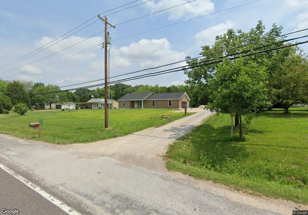
6756 Old State Route 21 Barnhart, MO 63012
Estimated Value: $221,000 - $276,000
--
Bed
--
Bath
1,444
Sq Ft
$175/Sq Ft
Est. Value
About This Home
This home is located at 6756 Old State Route 21, Barnhart, MO 63012 and is currently estimated at $252,670, approximately $174 per square foot. 6756 Old State Route 21 is a home located in Jefferson County with nearby schools including Antonia Elementary School, Antonia Middle School, and Seckman Senior High School.
Ownership History
Date
Name
Owned For
Owner Type
Purchase Details
Closed on
Jun 14, 2021
Sold by
Glore Gregory A and Glore Alecia M
Bought by
Gabm Properties Llc
Current Estimated Value
Purchase Details
Closed on
Sep 12, 2019
Sold by
Siess Allen J and Siess Deborah S Bagby
Bought by
Glore Gregory A and Glore Alecia M
Purchase Details
Closed on
Jun 20, 2002
Sold by
Moore Lillian Louise Arendale
Bought by
Siess Allen J and Bagby Siess Deborah S
Home Financials for this Owner
Home Financials are based on the most recent Mortgage that was taken out on this home.
Original Mortgage
$54,400
Interest Rate
10.75%
Mortgage Type
Purchase Money Mortgage
Create a Home Valuation Report for This Property
The Home Valuation Report is an in-depth analysis detailing your home's value as well as a comparison with similar homes in the area
Home Values in the Area
Average Home Value in this Area
Purchase History
| Date | Buyer | Sale Price | Title Company |
|---|---|---|---|
| Gabm Properties Llc | -- | None Available | |
| Glore Gregory A | -- | Htc | |
| Siess Allen J | -- | -- |
Source: Public Records
Mortgage History
| Date | Status | Borrower | Loan Amount |
|---|---|---|---|
| Previous Owner | Siess Allen J | $54,400 | |
| Closed | Siess Allen J | $10,200 |
Source: Public Records
Tax History Compared to Growth
Tax History
| Year | Tax Paid | Tax Assessment Tax Assessment Total Assessment is a certain percentage of the fair market value that is determined by local assessors to be the total taxable value of land and additions on the property. | Land | Improvement |
|---|---|---|---|---|
| 2025 | $1,962 | $31,600 | $2,700 | $28,900 |
| 2024 | $1,962 | $28,800 | $2,700 | $26,100 |
| 2023 | $1,962 | $28,800 | $2,700 | $26,100 |
| 2022 | $1,960 | $28,800 | $2,700 | $26,100 |
| 2021 | $184 | $2,700 | $2,700 | $0 |
| 2020 | $182 | $2,500 | $2,500 | $0 |
| 2019 | $1,019 | $14,000 | $1,600 | $12,400 |
| 2018 | $1,010 | $14,000 | $1,600 | $12,400 |
| 2017 | $976 | $14,000 | $1,600 | $12,400 |
| 2016 | $880 | $12,600 | $1,700 | $10,900 |
| 2015 | $850 | $12,600 | $1,700 | $10,900 |
| 2013 | $850 | $12,100 | $1,700 | $10,400 |
Source: Public Records
Map
Nearby Homes
- 6748 Old State Route 21
- 0 Wooded Acres
- 3544 Antonia Woods Dr
- 7577 Sheppard Dr
- 5389 Old State Route 21
- 4598 Schenk Rd
- 6420 Glennsway Dr
- 158 Long Oaks Dr
- Amanda Plan at Antonia Estates
- Kayla Plan at Antonia Estates
- Marylyn Plan at Antonia Estates
- Madison Plan at Antonia Estates
- Julieann Plan at Antonia Estates
- Blake Plan at Antonia Estates
- Connor Plan at Antonia Estates
- Brittany Plan at Antonia Estates
- 143 Long Oaks Dr
- 0 Antonia Estates - Amanda Unit MAR24055190
- 0 Antonia Estates - Brittany Unit MAR24055149
- 3518 Red Oak Dr
- 6728 Old State Route 21
- 4607 Wyldwood Dr
- 6703 Old State Route 21
- 4613 Wyldwood Dr
- 6700 Old State Route 21
- 6700 Old Highway 21
- 6702 Highway 21
- 4612 Wyldwood Dr
- 4619 Wyldwood Dr
- 6702 Old State Route 21
- 6809 Old State Route 21
- 4618 Wyldwood Dr
- 4621 Wyldwood Dr
- 4625 Wyldwood Dr
- 6821 Old State Route 21
- 4624 Wyldwood Dr
- 4633 Wyldwood Dr
- 4630 Wyldwood Dr
- 4608 Starlight Dr
- 4645 Newkirk Rd