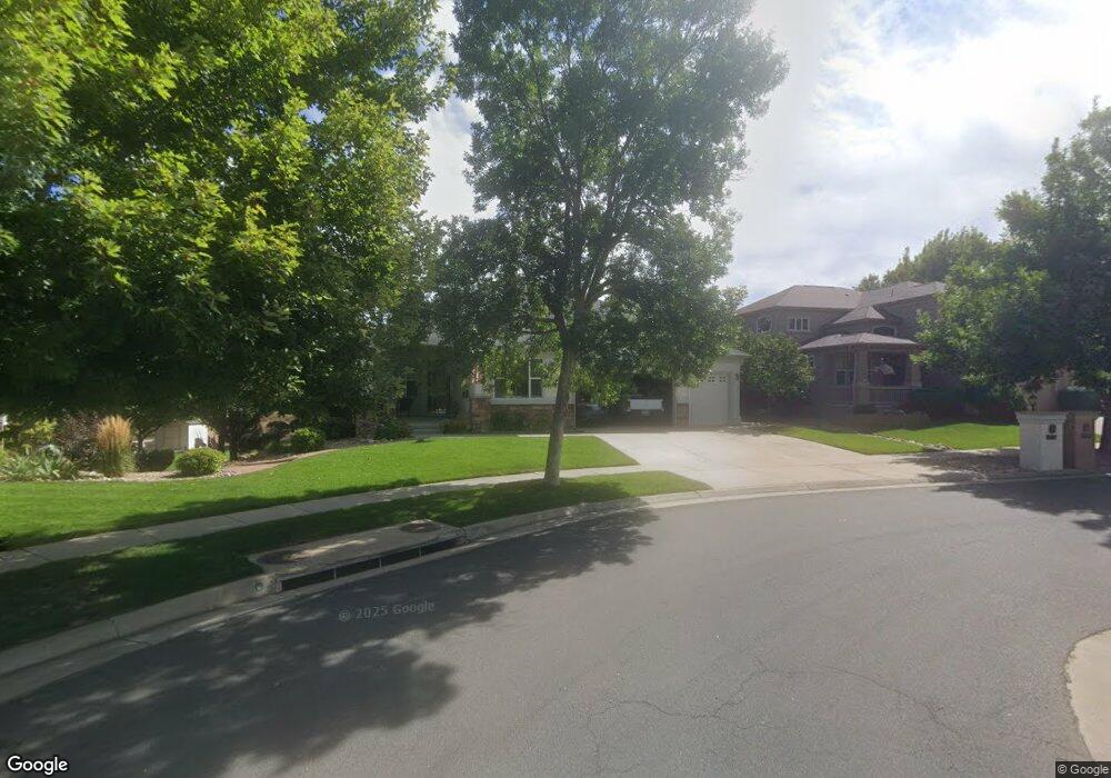
6756 Taft St Arvada, CO 80004
Northwest Arvada NeighborhoodEstimated Value: $807,000 - $1,057,515
2
Beds
5
Baths
2,202
Sq Ft
$448/Sq Ft
Est. Value
About This Home
This home is located at 6756 Taft St, Arvada, CO 80004 and is currently estimated at $986,879, approximately $448 per square foot. 6756 Taft St is a home located in Jefferson County with nearby schools including Fremont Elementary School, Oberon Middle School, and Arvada West High School.
Ownership History
Date
Name
Owned For
Owner Type
Purchase Details
Closed on
Mar 31, 2005
Sold by
Brittany Land Development Llc
Bought by
Beck Kenneth H and Beck Patricia L
Current Estimated Value
Home Financials for this Owner
Home Financials are based on the most recent Mortgage that was taken out on this home.
Original Mortgage
$359,650
Interest Rate
4.75%
Mortgage Type
Purchase Money Mortgage
Purchase Details
Closed on
Sep 29, 2004
Sold by
Brittany Land Development Llc
Bought by
Brittany Woodhaven Homes Llc
Create a Home Valuation Report for This Property
The Home Valuation Report is an in-depth analysis detailing your home's value as well as a comparison with similar homes in the area
Home Values in the Area
Average Home Value in this Area
Purchase History
| Date | Buyer | Sale Price | Title Company |
|---|---|---|---|
| Beck Kenneth H | -- | Chicago Title Co | |
| Beck Kenneth H | $562,168 | Chicago Title Co | |
| Brittany Woodhaven Homes Llc | -- | -- |
Source: Public Records
Mortgage History
| Date | Status | Borrower | Loan Amount |
|---|---|---|---|
| Previous Owner | Beck Kenneth H | $359,650 | |
| Previous Owner | Beck Kenneth H | $60,000 |
Source: Public Records
Tax History Compared to Growth
Tax History
| Year | Tax Paid | Tax Assessment Tax Assessment Total Assessment is a certain percentage of the fair market value that is determined by local assessors to be the total taxable value of land and additions on the property. | Land | Improvement |
|---|---|---|---|---|
| 2024 | $6,728 | $69,367 | $24,151 | $45,216 |
| 2023 | $6,728 | $69,367 | $24,151 | $45,216 |
| 2022 | $4,721 | $48,209 | $18,795 | $29,414 |
| 2021 | $4,799 | $49,596 | $19,336 | $30,260 |
| 2020 | $4,647 | $48,159 | $17,348 | $30,811 |
| 2019 | $4,585 | $48,159 | $17,348 | $30,811 |
| 2018 | $4,076 | $41,632 | $9,477 | $32,155 |
| 2017 | $3,732 | $41,632 | $9,477 | $32,155 |
| 2016 | $3,869 | $40,655 | $10,534 | $30,121 |
| 2015 | $3,477 | $40,655 | $10,534 | $30,121 |
| 2014 | $3,477 | $34,339 | $9,353 | $24,986 |
Source: Public Records
Map
Nearby Homes
- 11820 W 66th Place Unit A
- 11925 W 66th Place Unit B
- 6640 Simms St
- 6470 Simms St Unit C
- 6766 Quail St
- 7080 Simms St Unit 204
- 7049 Van Gordon Ct
- 7130 Simms St Unit 207
- 11640 W 62nd Place Unit 203
- 6506 Pierson St
- 11626 W 62nd Place Unit 103
- 7255 Taft Ct
- 6943 Oak Way
- 10879 W 65th Way
- 7154 Welch Ct
- 6984 Owens St
- 6440 Wright St
- 11825 W 73rd Dr
- 6616 Zang Cir
- 7097 Parfet St