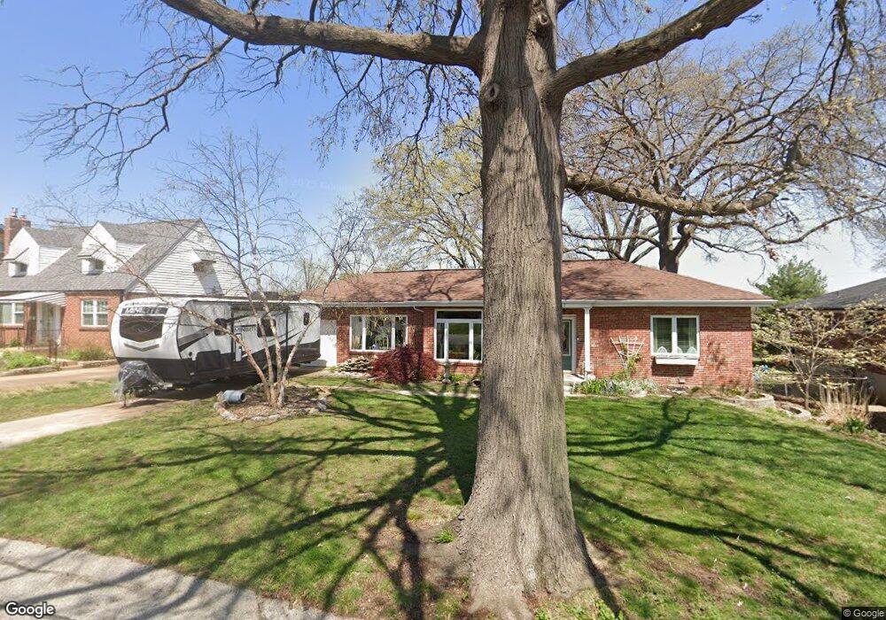
6757 Eastport Ave Saint Louis, MO 63123
Estimated Value: $230,000 - $251,000
2
Beds
1
Bath
1,200
Sq Ft
$200/Sq Ft
Est. Value
About This Home
This home is located at 6757 Eastport Ave, Saint Louis, MO 63123 and is currently estimated at $239,941, approximately $199 per square foot. 6757 Eastport Ave is a home located in St. Louis County with nearby schools including Mesnier Primary School, Gotsch Intermediate School, and Rogers Middle School.
Ownership History
Date
Name
Owned For
Owner Type
Purchase Details
Closed on
Nov 18, 2024
Sold by
Kamp Mark D and Kamp Deborah V
Bought by
Mark D Kamp And Deborah V Kamp Revocable Livi and Kamp
Current Estimated Value
Purchase Details
Closed on
Mar 31, 1998
Sold by
Auer John Clarence and Auer John C
Bought by
Kamp Mark D
Home Financials for this Owner
Home Financials are based on the most recent Mortgage that was taken out on this home.
Original Mortgage
$65,600
Interest Rate
7.04%
Create a Home Valuation Report for This Property
The Home Valuation Report is an in-depth analysis detailing your home's value as well as a comparison with similar homes in the area
Home Values in the Area
Average Home Value in this Area
Purchase History
| Date | Buyer | Sale Price | Title Company |
|---|---|---|---|
| Mark D Kamp And Deborah V Kamp Revocable Livi | -- | None Listed On Document | |
| Mark D Kamp And Deborah V Kamp Revocable Livi | -- | None Listed On Document | |
| Kamp Mark D | -- | Land Title Company |
Source: Public Records
Mortgage History
| Date | Status | Borrower | Loan Amount |
|---|---|---|---|
| Previous Owner | Kamp Mark D | $65,600 |
Source: Public Records
Tax History Compared to Growth
Tax History
| Year | Tax Paid | Tax Assessment Tax Assessment Total Assessment is a certain percentage of the fair market value that is determined by local assessors to be the total taxable value of land and additions on the property. | Land | Improvement |
|---|---|---|---|---|
| 2025 | $2,993 | $40,280 | $16,020 | $24,260 |
| 2024 | $2,993 | $36,840 | $10,680 | $26,160 |
| 2023 | $2,993 | $36,840 | $10,680 | $26,160 |
| 2022 | $2,835 | $30,930 | $10,680 | $20,250 |
| 2021 | $2,588 | $30,930 | $10,680 | $20,250 |
| 2020 | $2,477 | $27,610 | $10,090 | $17,520 |
| 2019 | $2,472 | $27,610 | $10,090 | $17,520 |
| 2018 | $2,189 | $21,580 | $7,010 | $14,570 |
| 2017 | $2,175 | $21,580 | $7,010 | $14,570 |
| 2016 | $2,198 | $23,200 | $5,300 | $17,900 |
| 2015 | $2,207 | $23,200 | $5,300 | $17,900 |
| 2014 | $1,943 | $20,290 | $7,370 | $12,920 |
Source: Public Records
Map
Nearby Homes
- 8942 Eden Ave
- 8736 New Hampshire Ave
- 6426 Judson Ave
- 8613 Carriage Way Dr
- 8554 Palmetto Dr
- 9702 Sterling Place
- 9313 Brenda Ave
- 8740 Brenda Ave
- 9347 Mackenzie Rd
- 9506 Sterling Place
- 6236 Bixby Ave
- 9723 Crayford Rd Unit 1B
- 8505 Ava Dr
- 6325 Sheppard Dr
- 9409 Alpine Dr
- 6211 Bixby Ave
- 8400 New Hampshire Ave
- 8509 Mackenzie Rd
- 9740 Bexley Station Dr
- 8415 Rockhaven Ln
- 6751 Eastport Ave
- 6763 Eastport Ave
- 6767 Eastport Ave
- 6762 Aliceton Ave
- 6758 Aliceton Ave
- 6766 Aliceton Ave
- 8925 Eden Ave
- 8921 Eden Ave
- 8917 Eden Ave
- 6770 Aliceton Ave
- 8915 Eden Ave
- 6760 Eastport Ave
- 6754 Eastport Ave
- 8931 Eden Ave
- 6774 Aliceton Ave
- 6766 Eastport Ave
- 6750 Aliceton Ave
- 8935 Eden Ave
- 8939 Eden Ave
- 6763 Aliceton Ave