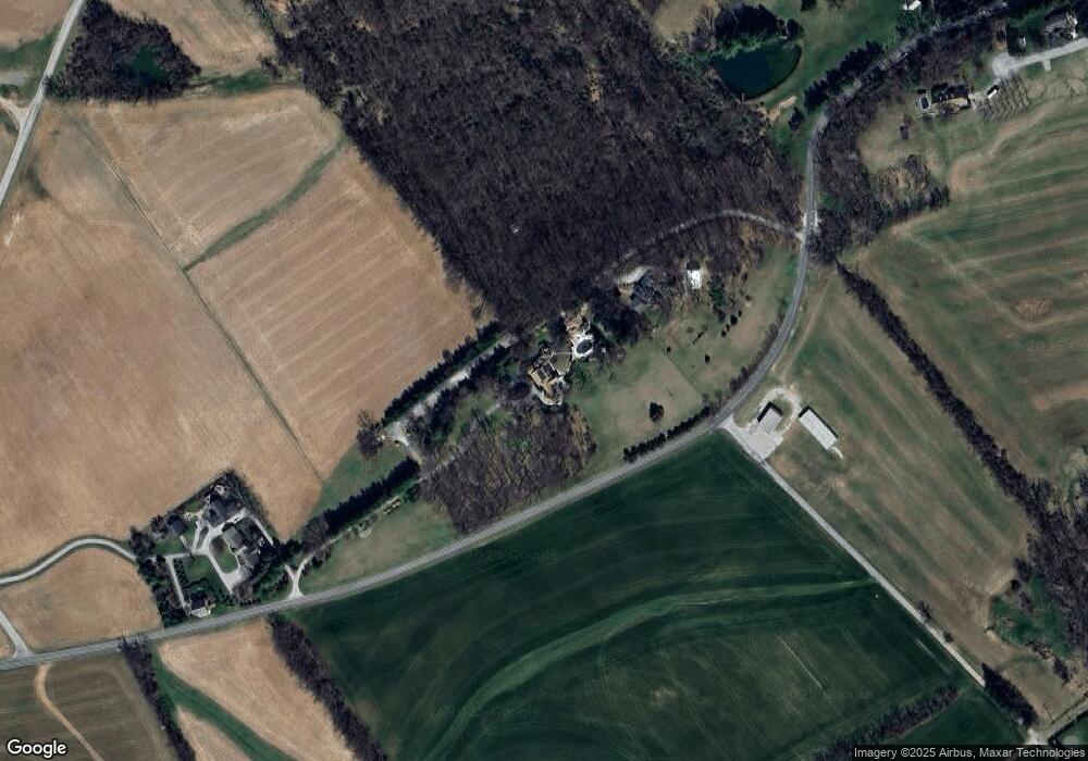
6759 Moulstown Rd E Hanover, PA 17331
Estimated Value: $900,000 - $2,347,000
5
Beds
6
Baths
6,292
Sq Ft
$235/Sq Ft
Est. Value
About This Home
This home is located at 6759 Moulstown Rd E, Hanover, PA 17331 and is currently estimated at $1,481,008, approximately $235 per square foot. 6759 Moulstown Rd E is a home located in York County with nearby schools including Spring Grove Area Middle School, Spring Grove Area High School, and Garbers Mennonite School.
Ownership History
Date
Name
Owned For
Owner Type
Purchase Details
Closed on
Apr 17, 2023
Sold by
Warehime Patricia M
Bought by
Warehime J Andrew J and Warehime Michelle T
Current Estimated Value
Purchase Details
Closed on
Jul 20, 2021
Sold by
Carter Jennifer W and Warehime Jeffrey A
Bought by
Warehime Andrew and Warehime Michelle T
Purchase Details
Closed on
Mar 2, 1989
Sold by
Shultz John S and Shultz Regina U
Bought by
Warehime John A and Warehime Patricia M
Create a Home Valuation Report for This Property
The Home Valuation Report is an in-depth analysis detailing your home's value as well as a comparison with similar homes in the area
Home Values in the Area
Average Home Value in this Area
Purchase History
| Date | Buyer | Sale Price | Title Company |
|---|---|---|---|
| Warehime J Andrew J | -- | None Listed On Document | |
| Warehime Andrew | -- | Black Abstract Inc | |
| Warehime John A | $1,107,400 | -- |
Source: Public Records
Tax History Compared to Growth
Tax History
| Year | Tax Paid | Tax Assessment Tax Assessment Total Assessment is a certain percentage of the fair market value that is determined by local assessors to be the total taxable value of land and additions on the property. | Land | Improvement |
|---|---|---|---|---|
| 2025 | $23,545 | $700,660 | $5,380 | $695,280 |
| 2024 | $23,291 | $700,660 | $5,380 | $695,280 |
| 2023 | $26,165 | $787,110 | $104,870 | $682,240 |
| 2022 | $32,758 | $985,440 | $283,200 | $702,240 |
| 2021 | $31,353 | $985,440 | $283,200 | $702,240 |
| 2020 | $31,353 | $985,440 | $283,200 | $702,240 |
| 2019 | $30,686 | $985,440 | $283,200 | $702,240 |
| 2018 | $30,279 | $985,440 | $283,200 | $702,240 |
| 2017 | $29,340 | $985,440 | $283,200 | $702,240 |
| 2016 | -- | $985,440 | $283,200 | $702,240 |
| 2015 | $20,607 | $985,440 | $283,200 | $702,240 |
| 2014 | $20,607 | $985,440 | $283,200 | $702,240 |
Source: Public Records
Map
Nearby Homes
- 1233 Glatco Lodge Rd
- 1315 Moulstown Rd N
- 799 Laurel Woods Ln
- 0 Moulstown Rd N Unit PAYK2082362
- 1440 Broadway
- 1329 Broadway
- 961 Beaver Creek Rd
- 1081 Beaver Creek Rd
- 896 Hershey Heights Rd
- 1098 Porters Rd
- 875 E Walnut St
- 516 Parkview Ln Unit 134
- 706 Grant Dr
- 6170 York Rd
- 713 Grant Dr
- 191 Moul Ave
- 7877 Gnatstown Rd
- 679 Cypress Dr Unit 76
- 376 Wilson Ave
- 755 757 Broadway
- 6691 Moulstown Rd E
- 6765 Moulstown Rd E
- 6699 Manor Dr
- 6663 Moulstown Rd E
- 6687 Manor Dr
- 6674 Manor Dr
- 6675 Manor Dr
- 6667 Manor Dr
- 6656 Manor Dr
- 6659 Manor Dr Unit 1
- 6659 Manor Dr
- 6648 Manor Dr
- 6647 Manor Dr
- 1350 Glatco Lodge Rd
- 6636 Manor Dr
- 2498 Manor Dr
- 6635 Manor Dr
- 6634 Manor Dr
- 6627 Manor Dr
- 6632 Manor Dr
