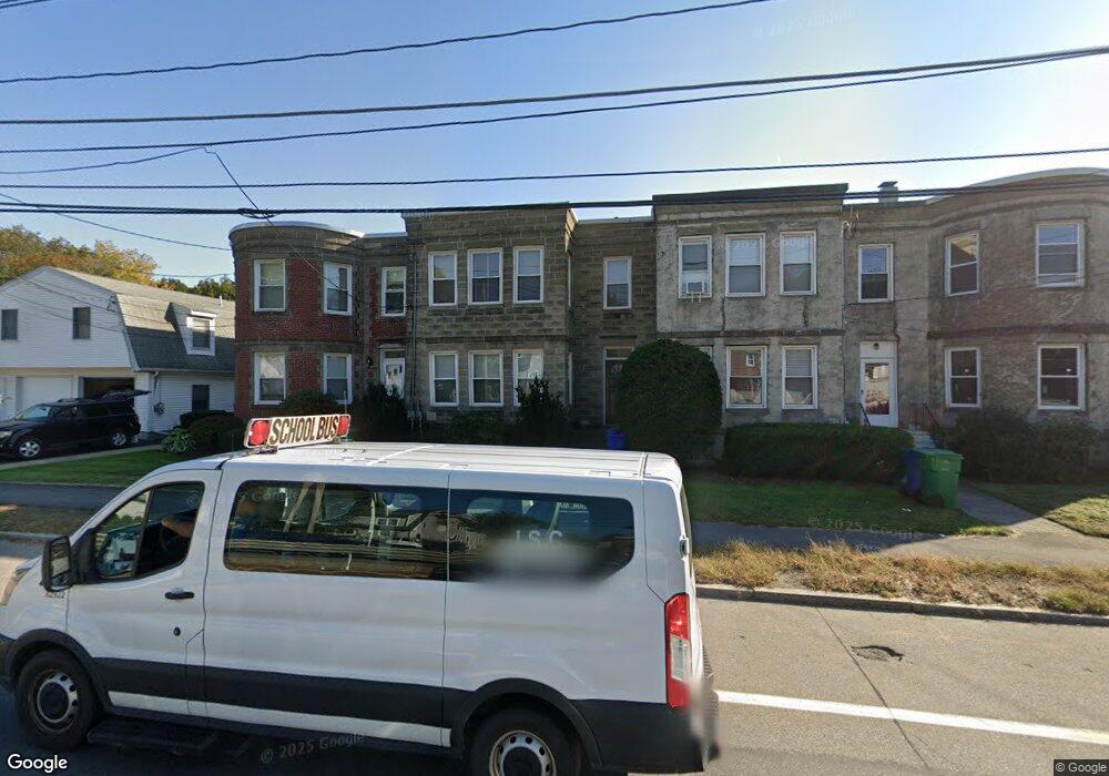
676 Boylston St Newton Center, MA 02459
Newton Highlands NeighborhoodEstimated Value: $968,000 - $1,122,000
4
Beds
2
Baths
2,100
Sq Ft
$501/Sq Ft
Est. Value
About This Home
This home is located at 676 Boylston St, Newton Center, MA 02459 and is currently estimated at $1,052,195, approximately $501 per square foot. 676 Boylston St is a home located in Middlesex County with nearby schools including Countryside Elementary School, Charles E Brown Middle School, and Newton South High School.
Ownership History
Date
Name
Owned For
Owner Type
Purchase Details
Closed on
Dec 3, 2008
Sold by
Santucci Elizabeth M and Santucci Frederick A
Bought by
Santucci Frederick A
Current Estimated Value
Home Financials for this Owner
Home Financials are based on the most recent Mortgage that was taken out on this home.
Original Mortgage
$385,000
Outstanding Balance
$254,139
Interest Rate
6.11%
Mortgage Type
Purchase Money Mortgage
Estimated Equity
$798,056
Purchase Details
Closed on
Sep 1, 1998
Sold by
Gager C Timothy and Santucci Stephanie M
Bought by
Santucci Frederick and Santucci Elizabeth M
Home Financials for this Owner
Home Financials are based on the most recent Mortgage that was taken out on this home.
Original Mortgage
$162,000
Interest Rate
6.9%
Mortgage Type
Purchase Money Mortgage
Purchase Details
Closed on
Jul 21, 1994
Sold by
Santucci Joyce and Avedisian Lalia
Bought by
Gager C Timothy and Santucci Stephanie
Create a Home Valuation Report for This Property
The Home Valuation Report is an in-depth analysis detailing your home's value as well as a comparison with similar homes in the area
Home Values in the Area
Average Home Value in this Area
Purchase History
| Date | Buyer | Sale Price | Title Company |
|---|---|---|---|
| Santucci Frederick A | -- | -- | |
| Santucci Frederick | $240,000 | -- | |
| Gager C Timothy | $140,000 | -- |
Source: Public Records
Mortgage History
| Date | Status | Borrower | Loan Amount |
|---|---|---|---|
| Open | Santucci Frederick A | $385,000 | |
| Previous Owner | Gager C Timothy | $55,000 | |
| Previous Owner | Gager C Timothy | $162,000 | |
| Previous Owner | Gager C Timothy | $162,000 |
Source: Public Records
Tax History Compared to Growth
Tax History
| Year | Tax Paid | Tax Assessment Tax Assessment Total Assessment is a certain percentage of the fair market value that is determined by local assessors to be the total taxable value of land and additions on the property. | Land | Improvement |
|---|---|---|---|---|
| 2025 | $7,002 | $714,500 | $565,500 | $149,000 |
| 2024 | $6,771 | $693,700 | $549,000 | $144,700 |
| 2023 | $6,415 | $630,200 | $408,500 | $221,700 |
| 2022 | $6,138 | $583,500 | $378,200 | $205,300 |
| 2021 | $5,923 | $550,500 | $356,800 | $193,700 |
| 2020 | $5,747 | $550,500 | $356,800 | $193,700 |
| 2019 | $5,586 | $534,500 | $346,400 | $188,100 |
| 2018 | $5,236 | $483,900 | $312,600 | $171,300 |
| 2017 | $5,076 | $456,500 | $294,900 | $161,600 |
| 2016 | $4,855 | $426,600 | $275,600 | $151,000 |
| 2015 | $4,629 | $398,700 | $257,600 | $141,100 |
Source: Public Records
Map
Nearby Homes
- 671 Boylston St
- 125 Oakdale Rd
- 42 Sunhill Ln
- 628 Boylston St
- 625 Boylston St
- 1308 Walnut St
- 19 Selwyn Rd
- 21 Philbrick Rd
- 1292 Walnut St
- 5 Halcyon Rd
- 1597 Centre St Unit 1597
- 1597 Centre St
- 1623-1625 Centre St
- 1629 Centre St
- 35 Haynes Rd
- 250 Woodcliff Rd
- 42 Bow Rd
- 1151 Walnut St Unit 205
- 1151 Walnut St Unit 405
- 1151 Walnut St Unit 207
- 678 Boylston St
- 674 Boylston St
- 674 Boylston St Unit 1
- 680 Boylston St
- 680 Boylston St Unit 2
- 680 Boylston St Unit 1
- 680 Boylston St Unit 1&2/F
- 680 Boylston St Unit 680
- 680 Boylston St Unit 1/F & 2/F
- 672 Boylston St
- 682 Boylston St
- 682 Boylston St Unit 1
- 5 Walnut Hill Rd
- 71 Oakdale Rd
- 11 Walnut Hill Rd
- 11 Walnut Hill Rd Unit 1
- 77 Oakdale Rd
- 686 Boylston St
- 686 Boylston St Unit Lower
- 686 Boylston St Unit G