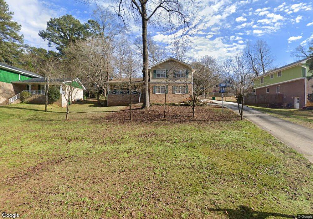
676 Delanie Way Stone Mountain, GA 30083
Estimated Value: $295,189 - $384,000
4
Beds
3
Baths
2,485
Sq Ft
$139/Sq Ft
Est. Value
About This Home
This home is located at 676 Delanie Way, Stone Mountain, GA 30083 and is currently estimated at $345,297, approximately $138 per square foot. 676 Delanie Way is a home located in DeKalb County with nearby schools including Allgood Elementary School, Freedom Middle School, and Clarkston High School.
Ownership History
Date
Name
Owned For
Owner Type
Purchase Details
Closed on
Nov 29, 2007
Sold by
Lapointe Mark D and Lapointe Diane M
Bought by
Smith Kristy S and Simpkins Terrence
Current Estimated Value
Home Financials for this Owner
Home Financials are based on the most recent Mortgage that was taken out on this home.
Original Mortgage
$176,000
Outstanding Balance
$111,242
Interest Rate
6.36%
Mortgage Type
New Conventional
Estimated Equity
$234,055
Create a Home Valuation Report for This Property
The Home Valuation Report is an in-depth analysis detailing your home's value as well as a comparison with similar homes in the area
Home Values in the Area
Average Home Value in this Area
Purchase History
| Date | Buyer | Sale Price | Title Company |
|---|---|---|---|
| Smith Kristy S | $176,000 | -- |
Source: Public Records
Mortgage History
| Date | Status | Borrower | Loan Amount |
|---|---|---|---|
| Open | Smith Kristy S | $176,000 |
Source: Public Records
Tax History Compared to Growth
Tax History
| Year | Tax Paid | Tax Assessment Tax Assessment Total Assessment is a certain percentage of the fair market value that is determined by local assessors to be the total taxable value of land and additions on the property. | Land | Improvement |
|---|---|---|---|---|
| 2025 | $2,532 | $98,680 | $16,000 | $82,680 |
| 2024 | $2,784 | $109,040 | $16,000 | $93,040 |
| 2023 | $2,784 | $107,240 | $16,000 | $91,240 |
| 2022 | $2,385 | $95,440 | $5,720 | $89,720 |
| 2021 | $1,811 | $70,560 | $5,720 | $64,840 |
| 2020 | $1,663 | $64,000 | $5,720 | $58,280 |
| 2019 | $1,733 | $67,200 | $5,720 | $61,480 |
| 2018 | $1,195 | $60,000 | $5,720 | $54,280 |
| 2017 | $1,234 | $44,800 | $5,720 | $39,080 |
| 2016 | $850 | $28,840 | $5,720 | $23,120 |
| 2014 | $648 | $19,920 | $5,680 | $14,240 |
Source: Public Records
Map
Nearby Homes
- 708 Delanie Way
- 736 Valley Creek Dr
- 573 Allgood Rd
- 534 Woodcrest Manor Dr
- 4428 Nantucket Cove
- 4603 Ruby Rd
- 811 Corundum Ct
- 4564 Fountainhead Dr
- 488 Barclay Ct
- 4820 Banner Elk Dr
- 4595 Garden Hills Dr
- 4238 Rue Saint Michel
- 550 S Rays Rd
- 4584 Garden Hills Dr
- 550 S Rays (8 6 Acres) Rd
- 498 Prince of Wales
- 4616 Garden Hills Dr Unit 1
- 440 Sheppard Xing Ct
- 486 Prince of Wales
- 550 S Rays (9 74 Acres) Rd
- 666 Delanie Way
- 686 Delanie Way
- 4595 Delanie Ct
- 677 Rowland Rd
- 694 Delanie Way
- 669 Rowland Rd
- 685 Rowland Rd
- 667 Delanie Way
- 685 Delanie Way
- 693 Rowland Rd
- 0 Delanie Way Unit 8534080
- 0 Delanie Way Unit 8289706
- 0 Delanie Way Unit 8220875
- 0 Delanie Way Unit 8171662
- 0 Delanie Way
- 4609 Delanie Ct
- 700 Delanie Way Unit 2
- 695 Delanie Way Unit 2
- 701 Rowland Rd Unit 2
- 4586 Delanie Ct