Estimated Value: $175,341 - $293,000
2
Beds
1
Bath
2,186
Sq Ft
$111/Sq Ft
Est. Value
About This Home
This home is located at 676 Elkins Rd, Cairo, GA 39827 and is currently estimated at $243,114, approximately $111 per square foot. 676 Elkins Rd is a home located in Grady County.
Ownership History
Date
Name
Owned For
Owner Type
Purchase Details
Closed on
May 13, 2025
Sold by
Page Nicky
Bought by
Collins Pamela D and Page Pamela D
Current Estimated Value
Purchase Details
Closed on
Feb 2, 2006
Sold by
Page Nicky
Bought by
Page Nicky and Page Pamela D
Home Financials for this Owner
Home Financials are based on the most recent Mortgage that was taken out on this home.
Original Mortgage
$48,750
Interest Rate
6.14%
Mortgage Type
New Conventional
Purchase Details
Closed on
Jan 26, 2006
Sold by
Page Pamela D
Bought by
Page Nicky
Home Financials for this Owner
Home Financials are based on the most recent Mortgage that was taken out on this home.
Original Mortgage
$48,750
Interest Rate
6.14%
Mortgage Type
New Conventional
Purchase Details
Closed on
Mar 17, 1998
Sold by
Owens William E
Bought by
Page Nicky
Purchase Details
Closed on
Jan 2, 1997
Sold by
Harper Billy Ray
Bought by
Owens William E
Create a Home Valuation Report for This Property
The Home Valuation Report is an in-depth analysis detailing your home's value as well as a comparison with similar homes in the area
Purchase History
| Date | Buyer | Sale Price | Title Company |
|---|---|---|---|
| Collins Pamela D | -- | -- | |
| Page Nicky | -- | -- | |
| Page Nicky | -- | -- | |
| Page Nicky | $45,000 | -- | |
| Owens William E | $6,700 | -- |
Source: Public Records
Mortgage History
| Date | Status | Borrower | Loan Amount |
|---|---|---|---|
| Previous Owner | Page Nicky | $48,750 |
Source: Public Records
Tax History
| Year | Tax Paid | Tax Assessment Tax Assessment Total Assessment is a certain percentage of the fair market value that is determined by local assessors to be the total taxable value of land and additions on the property. | Land | Improvement |
|---|---|---|---|---|
| 2024 | $764 | $56,485 | $14,821 | $41,664 |
| 2023 | $764 | $26,826 | $9,202 | $17,624 |
| 2022 | $764 | $26,826 | $9,202 | $17,624 |
| 2021 | $767 | $26,826 | $9,202 | $17,624 |
| 2020 | $769 | $26,826 | $9,202 | $17,624 |
| 2019 | $769 | $26,826 | $9,202 | $17,624 |
| 2018 | $722 | $26,826 | $9,202 | $17,624 |
| 2017 | $687 | $26,826 | $9,202 | $17,624 |
| 2016 | $608 | $23,826 | $9,202 | $14,624 |
| 2015 | $601 | $23,826 | $9,202 | $14,624 |
| 2014 | $601 | $23,826 | $9,202 | $14,624 |
| 2013 | -- | $23,711 | $10,731 | $12,980 |
Source: Public Records
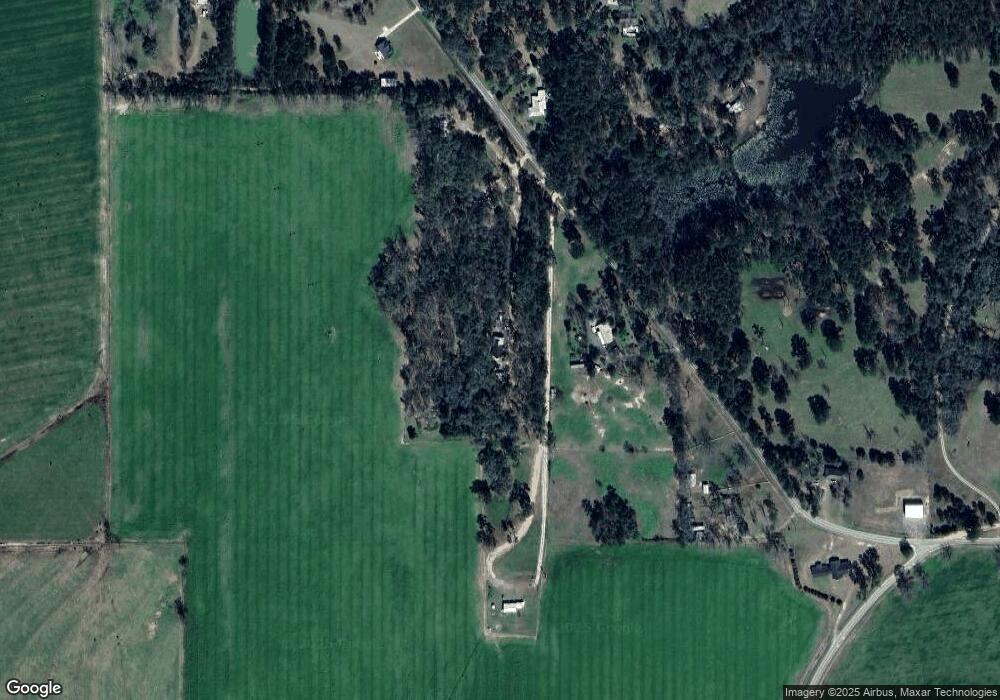
Map
Nearby Homes
Your Personal Tour Guide
Ask me questions while you tour the home.