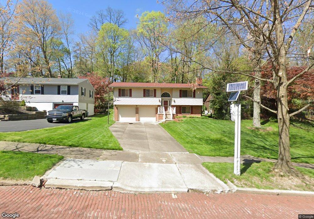
676 Lafayette Dr Akron, OH 44303
Merriman Hills NeighborhoodEstimated Value: $261,896 - $292,000
3
Beds
3
Baths
1,156
Sq Ft
$239/Sq Ft
Est. Value
About This Home
This home is located at 676 Lafayette Dr, Akron, OH 44303 and is currently estimated at $275,724, approximately $238 per square foot. 676 Lafayette Dr is a home located in Summit County with nearby schools including King Community Learning Center, Towpath Trail High School, and Our Lady Of The Elms Elementary School.
Ownership History
Date
Name
Owned For
Owner Type
Purchase Details
Closed on
Apr 21, 2004
Sold by
Steven J and Steven Carol L
Bought by
Taylor David S
Current Estimated Value
Home Financials for this Owner
Home Financials are based on the most recent Mortgage that was taken out on this home.
Original Mortgage
$121,600
Outstanding Balance
$56,504
Interest Rate
5.48%
Mortgage Type
Purchase Money Mortgage
Estimated Equity
$219,220
Purchase Details
Closed on
May 10, 1995
Sold by
Reif Richard W
Bought by
Null Steven J and Null Carol L
Home Financials for this Owner
Home Financials are based on the most recent Mortgage that was taken out on this home.
Original Mortgage
$97,450
Interest Rate
8.39%
Mortgage Type
New Conventional
Create a Home Valuation Report for This Property
The Home Valuation Report is an in-depth analysis detailing your home's value as well as a comparison with similar homes in the area
Home Values in the Area
Average Home Value in this Area
Purchase History
| Date | Buyer | Sale Price | Title Company |
|---|---|---|---|
| Taylor David S | $152,000 | Land America-Lawyers Title | |
| Null Steven J | $114,700 | -- |
Source: Public Records
Mortgage History
| Date | Status | Borrower | Loan Amount |
|---|---|---|---|
| Open | Taylor David S | $121,600 | |
| Previous Owner | Null Steven J | $97,450 |
Source: Public Records
Tax History Compared to Growth
Tax History
| Year | Tax Paid | Tax Assessment Tax Assessment Total Assessment is a certain percentage of the fair market value that is determined by local assessors to be the total taxable value of land and additions on the property. | Land | Improvement |
|---|---|---|---|---|
| 2025 | $3,782 | $71,331 | $17,056 | $54,275 |
| 2024 | $3,782 | $71,331 | $17,056 | $54,275 |
| 2023 | $3,782 | $71,331 | $17,056 | $54,275 |
| 2022 | $3,655 | $54,117 | $12,922 | $41,195 |
| 2021 | $3,659 | $54,117 | $12,922 | $41,195 |
| 2020 | $3,603 | $54,120 | $12,920 | $41,200 |
| 2019 | $3,504 | $47,760 | $10,250 | $37,510 |
| 2018 | $3,457 | $47,760 | $10,250 | $37,510 |
| 2017 | $3,512 | $47,760 | $10,250 | $37,510 |
| 2016 | $3,515 | $47,760 | $10,250 | $37,510 |
| 2015 | $3,512 | $47,760 | $10,250 | $37,510 |
| 2014 | $3,484 | $47,760 | $10,250 | $37,510 |
| 2013 | $3,661 | $51,370 | $10,250 | $41,120 |
Source: Public Records
Map
Nearby Homes
- 711 Lafayette Dr
- 557 Letchworth Dr
- 754 Merriman Rd
- 481 Letchworth Dr
- 0 Belleau Wood Dr
- 285 Nob Hill Dr
- 745 Canyon Trail
- 856 Lafayette Dr
- 433 Delaware Ave
- 430 Delaware Ave
- 782 Memorial Pkwy
- 400 Delaware Ave
- 333 N Portage Path Unit 6
- 333 N Portage Path Unit 3
- 333 N Portage Path Unit 34
- 889 Eaton Ave
- 275 N Portage Path Unit 7g
- 275 N Portage Path Unit 5A
- 427 Kathleen St
- 225 N Highland Ave
- 670 Lafayette Dr
- 682 Lafayette Dr
- 664 Lafayette Dr
- 688 Lafayette Dr
- 658 Lafayette Dr
- 694 Lafayette Dr
- 671 Lafayette Dr
- 677 Lafayette Dr
- 700 Lafayette Dr
- 652 Lafayette Dr
- 606 Letchworth Dr
- 652 Sunnyside Ave
- 651 Sunnyside Ave
- 706 Lafayette Dr
- 604 Malvern Rd
- 591 Letchworth Dr
- 600 Letchworth Dr
- 605 Malvern Rd
- 605 Palisades Dr
- 651 Palisades Dr