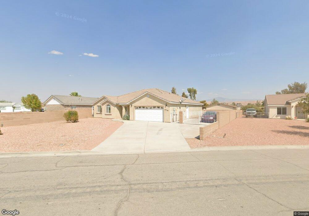
676 Lillian Condie Rd Overton, NV 89040
Estimated Value: $388,000 - $513,000
4
Beds
2
Baths
1,984
Sq Ft
$221/Sq Ft
Est. Value
About This Home
This home is located at 676 Lillian Condie Rd, Overton, NV 89040 and is currently estimated at $437,935, approximately $220 per square foot. 676 Lillian Condie Rd is a home with nearby schools including Grant Bowler Elementary School, Mack Lyon Middle School, and Moapa Valley High School.
Ownership History
Date
Name
Owned For
Owner Type
Purchase Details
Closed on
Jul 28, 2006
Sold by
Navarro Josephina and Navarro Jesus
Bought by
Navarro Jesus
Current Estimated Value
Purchase Details
Closed on
Jun 13, 2005
Sold by
Overton Estates Llc
Bought by
Navarro Jesus and Navarro Josefina
Home Financials for this Owner
Home Financials are based on the most recent Mortgage that was taken out on this home.
Original Mortgage
$236,000
Interest Rate
5.61%
Mortgage Type
Fannie Mae Freddie Mac
Create a Home Valuation Report for This Property
The Home Valuation Report is an in-depth analysis detailing your home's value as well as a comparison with similar homes in the area
Home Values in the Area
Average Home Value in this Area
Purchase History
| Date | Buyer | Sale Price | Title Company |
|---|---|---|---|
| Navarro Jesus | $268,000 | None Available | |
| Navarro Jesus | $295,000 | First Amer Title Co Of Nv |
Source: Public Records
Mortgage History
| Date | Status | Borrower | Loan Amount |
|---|---|---|---|
| Previous Owner | Navarro Jesus | $236,000 |
Source: Public Records
Tax History Compared to Growth
Tax History
| Year | Tax Paid | Tax Assessment Tax Assessment Total Assessment is a certain percentage of the fair market value that is determined by local assessors to be the total taxable value of land and additions on the property. | Land | Improvement |
|---|---|---|---|---|
| 2025 | $1,680 | $108,773 | $20,328 | $88,445 |
| 2024 | $1,632 | $108,773 | $20,328 | $88,445 |
| 2023 | $1,632 | $100,155 | $16,800 | $83,355 |
| 2022 | $1,585 | $91,700 | $15,540 | $76,160 |
| 2021 | $1,540 | $87,901 | $15,540 | $72,361 |
| 2020 | $1,471 | $87,159 | $15,540 | $71,619 |
| 2019 | $1,453 | $85,833 | $15,540 | $70,293 |
| 2018 | $1,403 | $83,072 | $15,540 | $67,532 |
| 2017 | $2,018 | $79,853 | $11,550 | $68,303 |
| 2016 | $1,336 | $68,248 | $9,450 | $58,798 |
| 2015 | $1,335 | $50,327 | $9,450 | $40,877 |
| 2014 | $1,296 | $50,337 | $9,450 | $40,887 |
Source: Public Records
Map
Nearby Homes
- 467 Muddy Peak Ct
- 491 Muddy Peak Ct
- 735 Condie St
- 0 Bryner Dr Unit 2653879
- 516 White Domes Dr
- 2080 Lou St
- 230 Powderhorn Ave
- 0 Ryan Unit 2673220
- 203 Trailzend Ave
- 468 Adelle Ave
- 0 Adelle Ave
- 710 Cooper St
- 735 Catherine St
- 0 N Moapa Valley Blvd and N Oliver St
- 531 W Ingram Ave
- 470 N Moapa Valley Blvd
- 585 W Ingram Ave
- 810 Catherine Ave
- 370 W McDonald Ave
- 530 W McDonald Ave
- 449 W Bryner Ave
- 664 Lillian Condie Rd
- 435 W Bryner Ave
- 479 Hank Cir
- 685 Lou St
- 478 Hank Cir
- 456 W Bryner Ave
- 640 Lillian Condie Rd
- 695 Lou St
- 468 W Bryner Ave
- 466 Corta Ave
- 728 Weiser Ridge St
- 480 W Bryner Ave
- 490 Hank Cir
- 478 Corta Ave
- 491 W Bryner Ave
- 736 Weiser Ridge St
- 655 Lou St
- 729 Lou St
- 665 Lou St