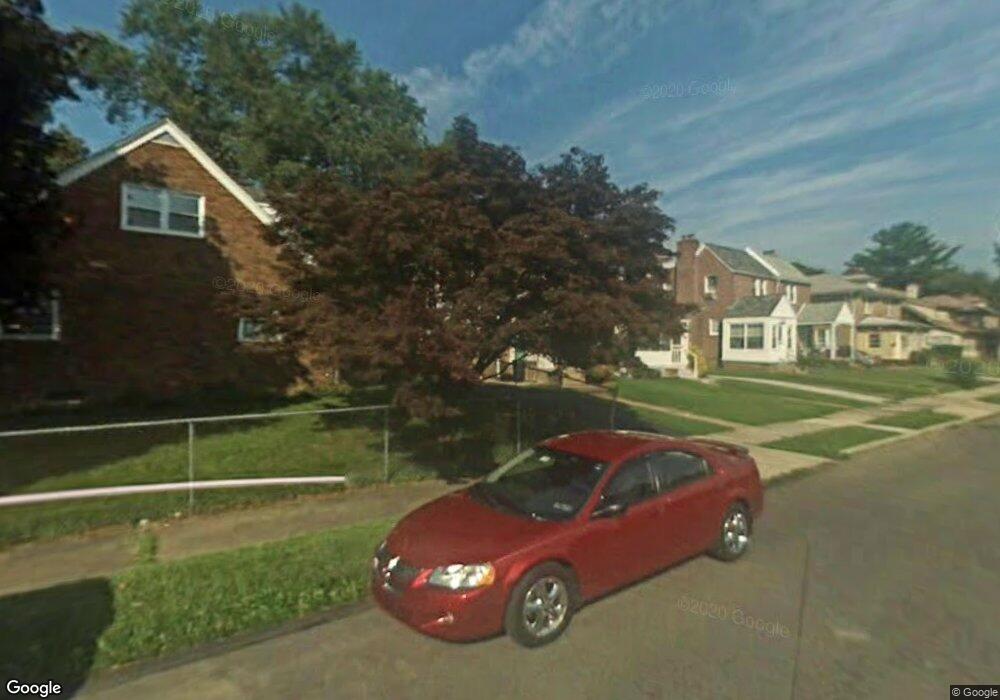
676 Rose St Lansdowne, PA 19050
Estimated Value: $167,000 - $230,000
3
Beds
2
Baths
1,166
Sq Ft
$179/Sq Ft
Est. Value
About This Home
This home is located at 676 Rose St, Lansdowne, PA 19050 and is currently estimated at $208,876, approximately $179 per square foot. 676 Rose St is a home located in Delaware County with nearby schools including Evans Elementary School, Penn Wood Middle School, and Penn Wood High School - Cypress Street Campus.
Ownership History
Date
Name
Owned For
Owner Type
Purchase Details
Closed on
Dec 22, 2005
Sold by
Sullivan Jerome J and Zagursky Frances M
Bought by
Flores Nicole
Current Estimated Value
Home Financials for this Owner
Home Financials are based on the most recent Mortgage that was taken out on this home.
Original Mortgage
$20,000
Interest Rate
5.82%
Mortgage Type
Stand Alone Second
Create a Home Valuation Report for This Property
The Home Valuation Report is an in-depth analysis detailing your home's value as well as a comparison with similar homes in the area
Home Values in the Area
Average Home Value in this Area
Purchase History
| Date | Buyer | Sale Price | Title Company |
|---|---|---|---|
| Flores Nicole | $95,000 | None Available |
Source: Public Records
Mortgage History
| Date | Status | Borrower | Loan Amount |
|---|---|---|---|
| Closed | Flores Nicole | $20,000 | |
| Open | Flores Nicole | $75,000 |
Source: Public Records
Tax History Compared to Growth
Tax History
| Year | Tax Paid | Tax Assessment Tax Assessment Total Assessment is a certain percentage of the fair market value that is determined by local assessors to be the total taxable value of land and additions on the property. | Land | Improvement |
|---|---|---|---|---|
| 2025 | $4,440 | $103,980 | $33,220 | $70,760 |
| 2024 | $4,440 | $103,980 | $33,220 | $70,760 |
| 2023 | $4,032 | $103,980 | $33,220 | $70,760 |
| 2022 | $3,845 | $103,980 | $33,220 | $70,760 |
| 2021 | $5,814 | $103,980 | $33,220 | $70,760 |
| 2020 | $3,770 | $60,370 | $19,160 | $41,210 |
| 2019 | $3,704 | $60,370 | $19,160 | $41,210 |
| 2018 | $3,652 | $60,370 | $0 | $0 |
| 2017 | $3,576 | $60,370 | $0 | $0 |
| 2016 | $331 | $60,370 | $0 | $0 |
| 2015 | $331 | $60,370 | $0 | $0 |
| 2014 | $331 | $60,370 | $0 | $0 |
Source: Public Records
Map
Nearby Homes
- 1016 Whitby Ave
- 813 Arbor Rd
- 740 Church Ln
- 536 Cypress St
- 711 Yeadon Ave Unit 1
- 702 Cedar Ave
- 800 Bullock Ave
- 722 Yeadon Ave
- 1104 Baily Rd
- 908 Yeadon Ave
- 808 Serrill Ave
- 537 Orchard Ave
- 503 Bonsall Ave
- 921 Serrill Ave
- 530 Orchard Ave
- 939 Serrill Ave
- 435 Bonsall Ave
- 1781 S 65th St
- 407 Church Ln
- 6535 Windsor St