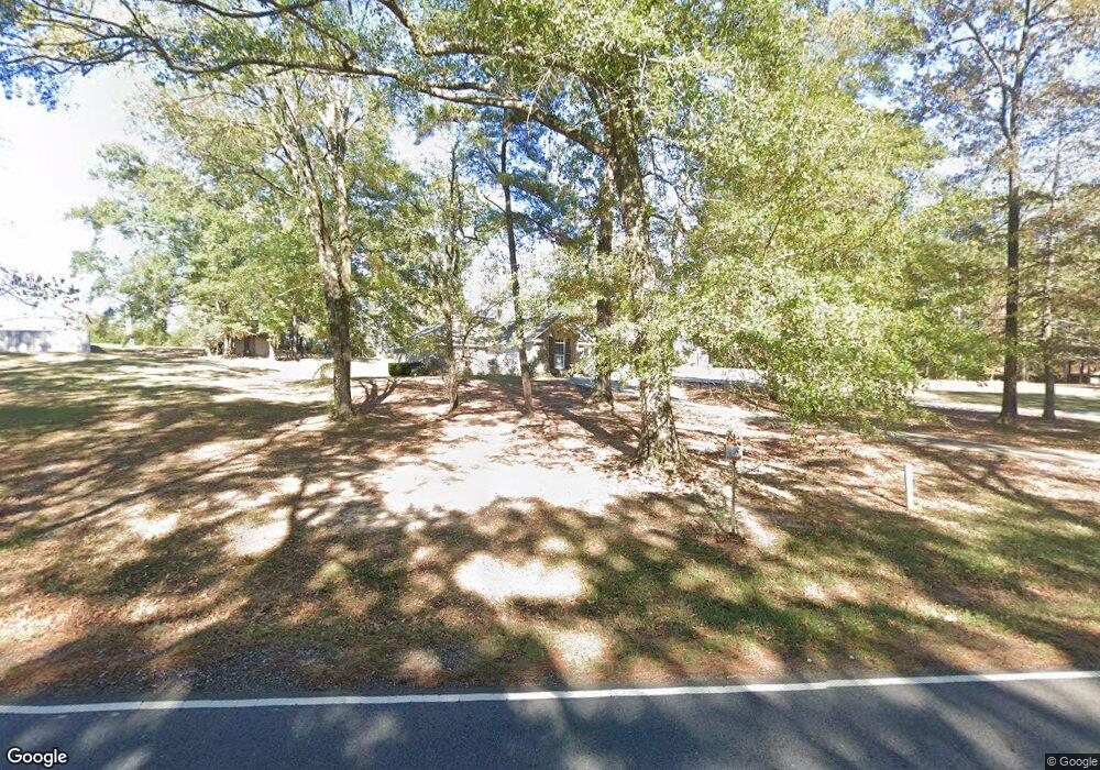
676 Slocum Rd Calhoun, LA 71225
Estimated Value: $208,000 - $230,003
3
Beds
2
Baths
1,400
Sq Ft
$154/Sq Ft
Est. Value
About This Home
This home is located at 676 Slocum Rd, Calhoun, LA 71225 and is currently estimated at $216,001, approximately $154 per square foot. 676 Slocum Rd is a home located in Ouachita Parish with nearby schools including Calhoun Elementary School, Central Elementary School, and Calhoun Middle School.
Ownership History
Date
Name
Owned For
Owner Type
Purchase Details
Closed on
Oct 22, 2010
Sold by
Williams Patrick Duaine
Bought by
Jones Roger Dale and Jones Leslie Anne Green
Current Estimated Value
Home Financials for this Owner
Home Financials are based on the most recent Mortgage that was taken out on this home.
Original Mortgage
$173,661
Outstanding Balance
$112,657
Interest Rate
4.25%
Mortgage Type
FHA
Estimated Equity
$103,344
Purchase Details
Closed on
May 2, 2005
Sold by
Cruzn I Llc
Bought by
Williams Patrick Duaine and Williams Heather
Home Financials for this Owner
Home Financials are based on the most recent Mortgage that was taken out on this home.
Original Mortgage
$128,900
Interest Rate
5.93%
Mortgage Type
New Conventional
Create a Home Valuation Report for This Property
The Home Valuation Report is an in-depth analysis detailing your home's value as well as a comparison with similar homes in the area
Purchase History
| Date | Buyer | Sale Price | Title Company |
|---|---|---|---|
| Jones Roger Dale | $170,000 | First Security Title | |
| Williams Patrick Duaine | $128,900 | None Available |
Source: Public Records
Mortgage History
| Date | Status | Borrower | Loan Amount |
|---|---|---|---|
| Open | Jones Roger Dale | $173,661 | |
| Previous Owner | Williams Patrick Duaine | $128,900 |
Source: Public Records
Tax History Compared to Growth
Tax History
| Year | Tax Paid | Tax Assessment Tax Assessment Total Assessment is a certain percentage of the fair market value that is determined by local assessors to be the total taxable value of land and additions on the property. | Land | Improvement |
|---|---|---|---|---|
| 2024 | $922 | $17,600 | $2,816 | $14,784 |
| 2023 | $933 | $17,600 | $2,816 | $14,784 |
| 2022 | $1,561 | $17,600 | $2,816 | $14,784 |
| 2021 | $1,581 | $17,600 | $2,816 | $14,784 |
| 2020 | $1,581 | $17,600 | $2,816 | $14,784 |
| 2019 | $1,576 | $17,600 | $2,816 | $14,784 |
| 2018 | $905 | $17,600 | $2,816 | $14,784 |
| 2017 | $1,576 | $17,600 | $2,816 | $14,784 |
| 2016 | $1,576 | $17,600 | $2,816 | $14,784 |
| 2015 | $902 | $17,600 | $2,816 | $14,784 |
| 2014 | $902 | $17,600 | $2,816 | $14,784 |
| 2013 | $1,567 | $17,600 | $2,816 | $14,784 |
Source: Public Records
Map
Nearby Homes
- 00 J T Griggs Rd Unit 454 J T Griggs Road
- 454 J T Griggs Rd
- 0 J T Griggs Rd Unit 454 J T Griggs Road
- 000 J T Griggs Rd Unit 454 J T Griggs Road
- 370 J T Griggs Rd
- 144 Patricks Cove
- 159 Chapel Ln
- 154 Patricks Cove
- 205 Chapel Hill Place
- 116 Mountain Rd
- 606 Hodge Watson Rd
- 381 Three Lakes Rd
- 0 Camp Rd Unit 206113
- 257 Sugarloaf Dr
- 0 Vocational Pkwy
- 000 Strozier Rd
- 111 Yellow Pine Dr
- 301 Pine Hills Dr
- 201 Collie Rd
- 0 Laguna Villas Dr
- 672 Slocum Rd
- 698 Slocum Rd
- 654 Slocum Rd
- 661 Slocum Rd Unit 663
- 748 Slocum Rd
- 0 Slocum Rd Unit 152561
- 0 Slocum Rd
- 611 Slocum Rd
- 597 Slocum Rd
- 000 Slocum Rd
- 107 J T Griggs Rd
- 786 Slocum Rd
- 585 Slocum Rd
- 103 J T Griggs Rd
- 788 Slocum Rd
- 104 J T Griggs Rd
- 219 J T Griggs Rd
- 194 J T Griggs Rd
- 531 Slocum Rd
- 00 Slocum Rd