676 W Eureka St Braidwood, IL 60408
Estimated Value: $276,000 - $344,000
Studio
--
Bath
--
Sq Ft
14,810
Sq Ft Lot
About This Home
This home is located at 676 W Eureka St, Braidwood, IL 60408 and is currently estimated at $300,804. 676 W Eureka St is a home located in Will County with nearby schools including Reed-Custer Intermediate School, Reed-Custer Middle School, and Reed-Custer High School.
Ownership History
Date
Name
Owned For
Owner Type
Purchase Details
Closed on
Apr 10, 2008
Sold by
Walsh Dale A
Bought by
Walsh Dale A and Walsh Elizabeth R
Current Estimated Value
Purchase Details
Closed on
Nov 21, 2000
Sold by
Lawson Janie D
Bought by
Walsh Dale A
Home Financials for this Owner
Home Financials are based on the most recent Mortgage that was taken out on this home.
Original Mortgage
$130,400
Outstanding Balance
$47,775
Interest Rate
7.8%
Estimated Equity
$253,029
Purchase Details
Closed on
Sep 22, 1999
Sold by
Lawson William P
Bought by
Lawson Janie D
Create a Home Valuation Report for This Property
The Home Valuation Report is an in-depth analysis detailing your home's value as well as a comparison with similar homes in the area
Home Values in the Area
Average Home Value in this Area
Purchase History
| Date | Buyer | Sale Price | Title Company |
|---|---|---|---|
| Walsh Dale A | -- | Law Title Insurance | |
| Walsh Dale A | $145,000 | -- | |
| Lawson Janie D | -- | -- |
Source: Public Records
Mortgage History
| Date | Status | Borrower | Loan Amount |
|---|---|---|---|
| Open | Walsh Dale A | $130,400 |
Source: Public Records
Tax History
| Year | Tax Paid | Tax Assessment Tax Assessment Total Assessment is a certain percentage of the fair market value that is determined by local assessors to be the total taxable value of land and additions on the property. | Land | Improvement |
|---|---|---|---|---|
| 2024 | $4,940 | $89,913 | $11,155 | $78,758 |
| 2023 | $4,940 | $80,531 | $9,991 | $70,540 |
| 2022 | $4,616 | $73,077 | $9,066 | $64,011 |
| 2021 | $4,466 | $69,750 | $8,653 | $61,097 |
| 2020 | $4,231 | $66,082 | $8,198 | $57,884 |
| 2019 | $3,987 | $62,400 | $7,741 | $54,659 |
| 2018 | $3,830 | $59,713 | $7,408 | $52,305 |
| 2017 | $3,756 | $58,542 | $7,263 | $51,279 |
| 2016 | $3,656 | $56,617 | $7,024 | $49,593 |
| 2015 | $3,544 | $55,156 | $6,843 | $48,313 |
| 2014 | $3,544 | $55,156 | $6,843 | $48,313 |
| 2013 | $3,544 | $58,991 | $7,319 | $51,672 |
Source: Public Records
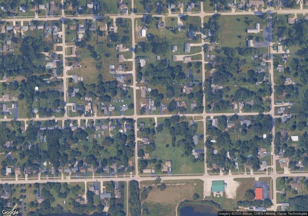
Map
Nearby Homes
- 116 S English St
- 443 W Main St
- 104 S English St
- 179 N Maple St
- 135 N Cook St
- 1055 W Main St
- 600 W 2nd St
- 1065 W Main St
- 222 S Lincoln St
- 484 W 3rd St
- 430 N Division St
- 26125 W Kennedy Rd
- 386 W 3rd St
- 903-905 N English St
- 495 N Division St
- 161 S Will Rd
- 459 N School St
- 0000 N Division St
- 470 N School St
- 158 S Railroad St
- 690 W Eureka St
- 660 W Eureka St
- 640 W Eureka St
- 655 W Eureka St
- 697 W Eureka St
- 135 S Kenard St
- 712 W Eureka St
- 618 W Eureka St
- 618 W Eureka St
- 635 W Eureka St
- 160 S Kenard St
- 713 W Eureka St
- 140 S Office St
- 251 S Kenard St
- 725 W Eureka St
- 608 W Eureka St
- 728 W Eureka St
- 130 S Office St
- 125 S Kenard St
- 220 S Office St
Your Personal Tour Guide
Ask me questions while you tour the home.