6761 Teal Ct Sheridan, MI 48884
Estimated Value: $97,059 - $195,000
--
Bed
--
Bath
--
Sq Ft
0.77
Acres
About This Home
This home is located at 6761 Teal Ct, Sheridan, MI 48884 and is currently estimated at $148,015. 6761 Teal Ct is a home located in Montcalm County with nearby schools including Central Montcalm Elementary School, Central Montcalm Upper Elementary School, and Central Montcalm Middle School.
Ownership History
Date
Name
Owned For
Owner Type
Purchase Details
Closed on
Mar 1, 2014
Sold by
Johnson Raymond and Kirby E.
Current Estimated Value
Purchase Details
Closed on
Jul 23, 2009
Sold by
Johnson Kirby E
Bought by
Sturn Erik L
Purchase Details
Closed on
Nov 3, 2006
Sold by
Lund Phillip Ctrust
Bought by
Johnson Raymond and Johnson Kirby E
Purchase Details
Closed on
Nov 2, 2006
Sold by
Lund Phillip C
Bought by
Johnson Raymond Ira and Johnson Kirby Elizabeth
Purchase Details
Closed on
Nov 9, 2005
Sold by
White Bobbie Lc
Bought by
Lund Phillip C Trust
Purchase Details
Closed on
Mar 1, 2004
Sold by
White Bobbie Lc
Bought by
Montcalm County Treasurer
Purchase Details
Closed on
Oct 27, 2000
Sold by
Lund Phillip and Lund Patricia
Bought by
Lund Phillip C Trust
Purchase Details
Closed on
Jan 20, 2000
Sold by
Lund Phillip C Trust
Bought by
White Bobbie Lc
Purchase Details
Closed on
Aug 19, 1998
Sold by
Lund Phillip C Trust
Bought by
Lund Phillip and Lund Patricia
Create a Home Valuation Report for This Property
The Home Valuation Report is an in-depth analysis detailing your home's value as well as a comparison with similar homes in the area
Home Values in the Area
Average Home Value in this Area
Purchase History
| Date | Buyer | Sale Price | Title Company |
|---|---|---|---|
| -- | -- | -- | |
| Sturn Erik L | $20,000 | None Listed On Document | |
| Johnson Raymond | -- | -- | |
| Johnson Raymond Ira | -- | None Available | |
| Johnson Raymond Ira | -- | -- | |
| Lund Phillip C Trust | -- | -- | |
| Montcalm County Treasurer | -- | -- | |
| Lund Phillip C Trust | -- | -- | |
| White Bobbie Lc | -- | -- | |
| Lund Phillip | -- | -- |
Source: Public Records
Tax History Compared to Growth
Tax History
| Year | Tax Paid | Tax Assessment Tax Assessment Total Assessment is a certain percentage of the fair market value that is determined by local assessors to be the total taxable value of land and additions on the property. | Land | Improvement |
|---|---|---|---|---|
| 2025 | $604 | $43,000 | $0 | $0 |
| 2024 | $1,062 | $35,400 | $0 | $0 |
| 2023 | -- | $29,700 | $0 | $0 |
| 2022 | -- | $29,300 | $0 | $0 |
| 2021 | -- | $23,100 | $0 | $0 |
| 2020 | -- | -- | $0 | $0 |
| 2019 | -- | -- | $0 | $0 |
| 2018 | -- | -- | $0 | $0 |
| 2017 | -- | -- | $0 | $0 |
| 2016 | -- | -- | $0 | $0 |
| 2015 | -- | -- | $0 | $0 |
| 2014 | -- | -- | $0 | $0 |
Source: Public Records
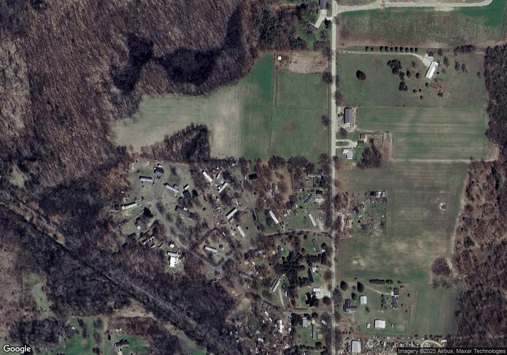
Map
Nearby Homes
- 3211 Wood Duck Dr Unit 24
- 5019 S Townhall Rd
- 4575 Creek View Ct
- 4599 Creek View Ct
- 1832 E Carson City Rd
- 4644 Creek View Ct
- 4633 Creek View Ct
- 4622 Creek View Ct
- 4749 Meadow View Dr
- 4723 Meadow View Dr
- 4685 Meadow View Dr
- 4668 Meadow View Dr
- 8123 Timber Creek Dr
- 8116 Timber Creek Dr
- V/L Lilac Ln
- 206 S Pearl St
- 148 E Channel Dr
- 229 S Sherman St
- 601 S Main St
- 104 Bliss Ct
- 6761 Teal Ct
- 6760 Teal Ct
- 6776 Teal Ct
- 6810 Teal Ct
- 6762 S Wood Rd
- 0 Wood Duck Dr
- 6778 S Wood Rd
- 3051 Mallard Dr Unit 15
- 3229 Wood Duck Dr
- N Wood Duck Dr
- 3184 Wood Duck Dr
- 3073 Mallard Dr
- 3073 Mallard Dr
- 3131 Wood Duck Dr
- 3210 Wood Duck Dr
- 3033 Mallard Dr
- 6840 S Wood Rd
- 6703 S Wood Rd
- 3163 Mallard Dr
- 6765 S Wood Rd