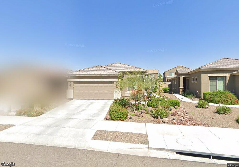
6762 W Wethersfield Rd Peoria, AZ 85381
Estimated Value: $441,000 - $489,411
--
Bed
--
Bath
1,578
Sq Ft
$294/Sq Ft
Est. Value
About This Home
This home is located at 6762 W Wethersfield Rd, Peoria, AZ 85381 and is currently estimated at $464,103, approximately $294 per square foot. 6762 W Wethersfield Rd is a home with nearby schools including Oakwood Elementary School, Cactus High School, and Legacy Traditional School - Glendale.
Ownership History
Date
Name
Owned For
Owner Type
Purchase Details
Closed on
Feb 12, 2022
Sold by
Albert Moor House Living Trust
Bought by
Albert Douglas G and Moor Paul M
Current Estimated Value
Home Financials for this Owner
Home Financials are based on the most recent Mortgage that was taken out on this home.
Original Mortgage
$631,500
Outstanding Balance
$625,773
Interest Rate
3.21%
Mortgage Type
FHA
Estimated Equity
-$161,670
Purchase Details
Closed on
Jun 30, 2017
Sold by
Albert Douglas Guy and Moor Paul Michael
Bought by
The Albert Moor House Living Trust
Purchase Details
Closed on
Oct 20, 2014
Sold by
Gwr Pv83 Llc
Bought by
Moor Paul and Albert Douglas
Home Financials for this Owner
Home Financials are based on the most recent Mortgage that was taken out on this home.
Original Mortgage
$183,200
Interest Rate
3.7%
Mortgage Type
New Conventional
Create a Home Valuation Report for This Property
The Home Valuation Report is an in-depth analysis detailing your home's value as well as a comparison with similar homes in the area
Home Values in the Area
Average Home Value in this Area
Purchase History
| Date | Buyer | Sale Price | Title Company |
|---|---|---|---|
| Albert Douglas G | -- | National Deed Network Inc | |
| The Albert Moor House Living Trust | -- | None Available | |
| Moor Paul | $229,120 | First American Title |
Source: Public Records
Mortgage History
| Date | Status | Borrower | Loan Amount |
|---|---|---|---|
| Open | Albert Douglas G | $631,500 | |
| Closed | Albert Douglas G | $631,500 | |
| Previous Owner | Moor Paul | $183,200 |
Source: Public Records
Tax History Compared to Growth
Tax History
| Year | Tax Paid | Tax Assessment Tax Assessment Total Assessment is a certain percentage of the fair market value that is determined by local assessors to be the total taxable value of land and additions on the property. | Land | Improvement |
|---|---|---|---|---|
| 2025 | $1,587 | $20,512 | -- | -- |
| 2024 | $1,605 | $19,536 | -- | -- |
| 2023 | $1,605 | $30,780 | $6,150 | $24,630 |
| 2022 | $1,572 | $24,310 | $4,860 | $19,450 |
| 2021 | $1,680 | $22,780 | $4,550 | $18,230 |
| 2020 | $1,698 | $21,870 | $4,370 | $17,500 |
| 2019 | $1,643 | $20,610 | $4,120 | $16,490 |
| 2018 | $1,638 | $19,460 | $3,890 | $15,570 |
| 2017 | $1,600 | $17,670 | $3,530 | $14,140 |
| 2016 | $1,629 | $17,630 | $3,520 | $14,110 |
| 2015 | $120 | $1,200 | $1,200 | $0 |
Source: Public Records
Map
Nearby Homes
- 6763 W Wethersfield Rd
- 6746 W Wethersfield Rd
- 6749 W Charter Oak Rd
- 6739 W Cactus Rd
- 6845 W Charter Oak Rd
- 6849 W Wethersfield Rd
- 6821 W Cherry Hills Dr
- 6527 W Bloomfield Rd
- 6914 W Sunnyside Dr Unit 3
- 6938 W Jenan Dr
- 6409 W Riviera Dr
- 6409 W Poinsettia Dr
- 6614 W Sweetwater Ave
- 7126 W Columbine Dr
- 7113 W Sunnyside Dr
- 7126 W Jenan Dr
- 7157 W Cherry Hills Dr
- 6602 W Surrey Ave
- 7214 W Columbine Dr
- 6210 W Desert Hills Dr
- 6770 W Wethersfield Rd
- 6754 W Wethersfield Rd
- 6778 W Wethersfield Rd
- 6765 W Charter Oak Rd
- 6773 W Charter Oak Rd
- 6757 W Charter Oak Rd
- 6784 W Wethersfield Rd
- 6781 W Charter Oak Rd
- 6738 W Wethersfield Rd
- 6787 W Charter Oak Rd
- 6755 W Wethersfield Rd
- 6792 W Wethersfield Rd
- 6795 W Charter Oak Rd
- 6785 W Wethersfield Rd
- 6779 W Wethersfield Rd
- 6771 W Wethersfield Rd
- 6772 W Charter Oak Rd
- 6764 W Charter Oak Rd
- 6756 W Charter Oak Rd
- 6780 W Charter Oak Rd