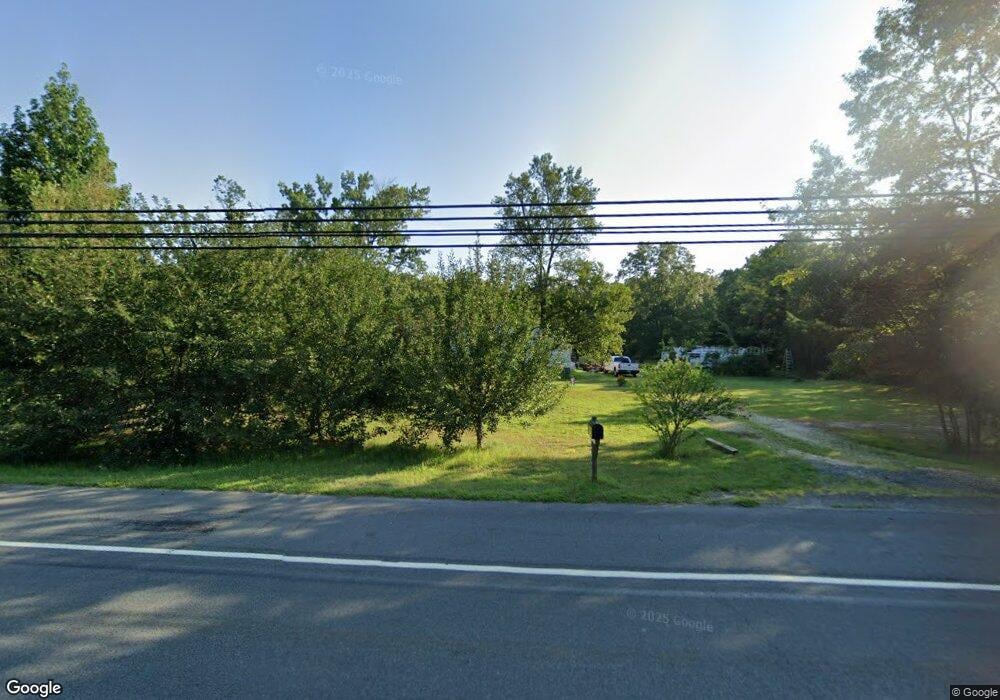
6765 Harding Hwy Mays Landing, NJ 08330
Estimated Value: $235,024 - $315,000
--
Bed
--
Bath
1,128
Sq Ft
$254/Sq Ft
Est. Value
About This Home
This home is located at 6765 Harding Hwy, Mays Landing, NJ 08330 and is currently estimated at $287,006, approximately $254 per square foot. 6765 Harding Hwy is a home located in Atlantic County with nearby schools including Joseph Shaner School, George L. Hess Educational Complex, and William Davies Middle School.
Ownership History
Date
Name
Owned For
Owner Type
Purchase Details
Closed on
Jan 29, 2008
Sold by
Tozer Ralph L
Bought by
Tozer Ralph L
Current Estimated Value
Home Financials for this Owner
Home Financials are based on the most recent Mortgage that was taken out on this home.
Original Mortgage
$124,500
Outstanding Balance
$78,859
Interest Rate
6.14%
Mortgage Type
Purchase Money Mortgage
Estimated Equity
$208,147
Purchase Details
Closed on
May 22, 1995
Sold by
Luperti Rita
Bought by
Tozer Harry J
Create a Home Valuation Report for This Property
The Home Valuation Report is an in-depth analysis detailing your home's value as well as a comparison with similar homes in the area
Home Values in the Area
Average Home Value in this Area
Purchase History
| Date | Buyer | Sale Price | Title Company |
|---|---|---|---|
| Tozer Ralph L | $148,500 | First American Title Ins Co | |
| Tozer Harry J | $64,900 | B Franklin Title Agency Inc |
Source: Public Records
Mortgage History
| Date | Status | Borrower | Loan Amount |
|---|---|---|---|
| Open | Tozer Ralph L | $124,500 |
Source: Public Records
Tax History Compared to Growth
Tax History
| Year | Tax Paid | Tax Assessment Tax Assessment Total Assessment is a certain percentage of the fair market value that is determined by local assessors to be the total taxable value of land and additions on the property. | Land | Improvement |
|---|---|---|---|---|
| 2025 | $3,894 | $113,500 | $39,200 | $74,300 |
| 2024 | $3,894 | $113,500 | $39,200 | $74,300 |
| 2023 | $3,662 | $113,500 | $39,200 | $74,300 |
| 2022 | $3,662 | $113,500 | $39,200 | $74,300 |
| 2021 | $3,654 | $113,500 | $39,200 | $74,300 |
| 2020 | $3,654 | $113,500 | $39,200 | $74,300 |
| 2019 | $3,663 | $113,500 | $39,200 | $74,300 |
| 2018 | $3,534 | $113,500 | $39,200 | $74,300 |
| 2017 | $3,479 | $113,500 | $39,200 | $74,300 |
| 2016 | $3,381 | $113,500 | $39,200 | $74,300 |
| 2015 | $3,267 | $113,500 | $39,200 | $74,300 |
| 2014 | $3,271 | $124,500 | $44,500 | $80,000 |
Source: Public Records
Map
Nearby Homes
- 6752 Harding Hwy
- 0 South Ave
- 0 Merton Ave Unit NJAC2020566
- 0 Railroad Blvd
- 6839 Harding Hwy
- 6141 Harley Ave
- 6414 Strand Ave
- 6422 Strand Ave
- 0 Wheeling Ave Unit NJAC2018470
- 1368 Sitka Ave
- 1362 Annapolis Ave
- 6917 Market St
- 1516 Thirty Third St
- 5485 Landis Ave
- 508 13th Ave
- 37 Delancy Ct
- 6310 Phillips Ave
- 6301 Knight Ave
- 6314 Lance Ave
- 87 Devon Rd
- 6771 Harding Hwy
- 6769 Harding Hwy
- 6757 Harding Hwy
- 6773 Harding Hwy
- 6760 Harding Hwy
- 6753 Harding Hwy
- 6770 Harding Hwy
- 6779 Harding Hwy
- 0 Harding Hwy Millville Ave Unit NJAC2008730
- 6776 Harding Hwy
- 6785 Harding Hwy
- 6391 Harley Ave
- 6439 Harley Ave
- South South Ave
- 6788 Harding Hwy
- 6791 Harding Hwy
- 6465 South Ave
- 6734 Harding Hwy
- 6383 Harley Ave
- 6731 Harding Hwy