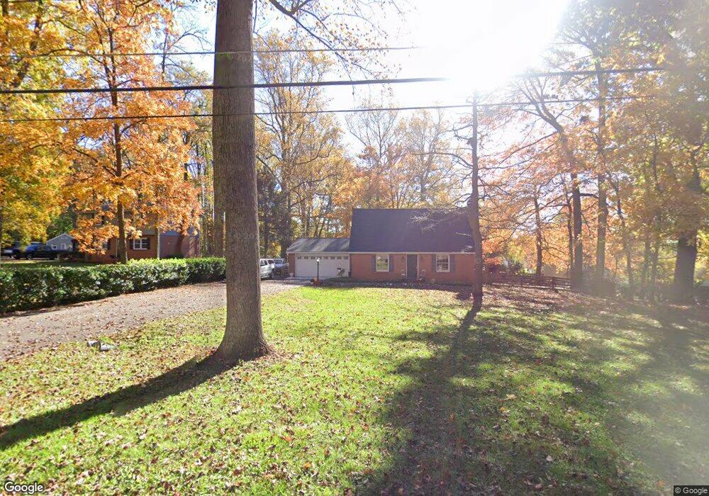
6765 Marvin Ave Sykesville, MD 21784
Estimated Value: $413,000 - $500,000
--
Bed
2
Baths
1,428
Sq Ft
$320/Sq Ft
Est. Value
About This Home
This home is located at 6765 Marvin Ave, Sykesville, MD 21784 and is currently estimated at $457,162, approximately $320 per square foot. 6765 Marvin Ave is a home located in Carroll County with nearby schools including Carrolltowne Elementary School, Oklahoma Road Middle School, and Liberty High School.
Ownership History
Date
Name
Owned For
Owner Type
Purchase Details
Closed on
Jun 16, 2020
Sold by
Patterson Ada E
Bought by
Bell Carol E
Current Estimated Value
Home Financials for this Owner
Home Financials are based on the most recent Mortgage that was taken out on this home.
Original Mortgage
$157,500
Outstanding Balance
$139,612
Interest Rate
3.2%
Mortgage Type
New Conventional
Estimated Equity
$317,550
Create a Home Valuation Report for This Property
The Home Valuation Report is an in-depth analysis detailing your home's value as well as a comparison with similar homes in the area
Home Values in the Area
Average Home Value in this Area
Purchase History
| Date | Buyer | Sale Price | Title Company |
|---|---|---|---|
| Bell Carol E | $175,000 | Safeguard Ttl Innnns Agcy In |
Source: Public Records
Mortgage History
| Date | Status | Borrower | Loan Amount |
|---|---|---|---|
| Open | Bell Carol E | $157,500 |
Source: Public Records
Tax History Compared to Growth
Tax History
| Year | Tax Paid | Tax Assessment Tax Assessment Total Assessment is a certain percentage of the fair market value that is determined by local assessors to be the total taxable value of land and additions on the property. | Land | Improvement |
|---|---|---|---|---|
| 2025 | $3,976 | $371,600 | $0 | $0 |
| 2024 | $3,976 | $344,700 | $171,400 | $173,300 |
| 2023 | $3,847 | $333,167 | $0 | $0 |
| 2022 | $3,717 | $321,633 | $0 | $0 |
| 2021 | $7,426 | $310,100 | $151,400 | $158,700 |
| 2020 | $0 | $309,100 | $0 | $0 |
| 2019 | $3,136 | $308,100 | $0 | $0 |
| 2018 | $3,543 | $307,100 | $151,400 | $155,700 |
| 2017 | $3,449 | $302,867 | $0 | $0 |
| 2016 | -- | $298,633 | $0 | $0 |
| 2015 | -- | $294,400 | $0 | $0 |
| 2014 | -- | $294,400 | $0 | $0 |
Source: Public Records
Map
Nearby Homes
- 7025 Macbeth Way
- 7010 Macbeth Way
- 1714 Botanical Ct Unit 23
- 1712 Botanical Ct Unit 22
- 6670 Slacks Rd
- 6565 Macbeth Way
- 6741 Quad Ln
- 1809 Fallstaff Ct
- 7090 Saddle Dr
- 1696 Gemini Dr
- 1909 Lennox Dr Unit 90
- 6819 Ridge Rd
- 6515 Dundee Dr Unit 240
- 1900 Lennox Dr Unit 41
- 1900 Lennox Dr Unit 49
- 2023 Rudy Serra Dr Unit 2D
- 2010 Rudy Serra Dr Unit C
- 6467 Cornwall Dr Unit 56
- 1822 Cassandra Dr Unit 117
- Lot 1 Carroll Highlands Rd
- 1803 Mount Denali Rd
- 1805 Mount Denali Rd
- 6743 Marvin Ave
- 6740 Marvin Ave
- 1802 Mount Denali Rd
- 6744 Marvin Ave
- 6756 Marvin Ave
- 1810 Tabetha Dr
- 6724 Monroe Ave
- 6761 Marvin Ave
- 1952 Barley Rd
- 1801 Tabetha Dr
- 6729 Marvin Ave
- 6732 Marvin Ave
- 6808 Little Barley Dr
- 6722 Monroe Ave
- 6762 Marvin Ave
- 1800 Tabetha Dr
- 6738 Monroe Ave
- 1951 Barley Rd