6765 Thunder Ln Lansing, MI 48906
Estimated Value: $396,050 - $443,000
3
Beds
3
Baths
1,850
Sq Ft
$229/Sq Ft
Est. Value
About This Home
This home is located at 6765 Thunder Ln, Lansing, MI 48906 and is currently estimated at $424,513, approximately $229 per square foot. 6765 Thunder Ln is a home located in Clinton County with nearby schools including Wacousta Elementary School, Leon W. Hayes Middle School, and Grand Ledge High School.
Ownership History
Date
Name
Owned For
Owner Type
Purchase Details
Closed on
Sep 24, 2015
Sold by
Country View Estates Llc
Bought by
Main David A and Main Jessica L
Current Estimated Value
Home Financials for this Owner
Home Financials are based on the most recent Mortgage that was taken out on this home.
Original Mortgage
$234,720
Outstanding Balance
$184,483
Interest Rate
3.93%
Mortgage Type
New Conventional
Estimated Equity
$240,030
Create a Home Valuation Report for This Property
The Home Valuation Report is an in-depth analysis detailing your home's value as well as a comparison with similar homes in the area
Home Values in the Area
Average Home Value in this Area
Purchase History
| Date | Buyer | Sale Price | Title Company |
|---|---|---|---|
| Main David A | $247,076 | Cnfc Title | |
| Country View Estates Llc | $35,000 | None Available |
Source: Public Records
Mortgage History
| Date | Status | Borrower | Loan Amount |
|---|---|---|---|
| Open | Main David A | $234,720 |
Source: Public Records
Tax History
| Year | Tax Paid | Tax Assessment Tax Assessment Total Assessment is a certain percentage of the fair market value that is determined by local assessors to be the total taxable value of land and additions on the property. | Land | Improvement |
|---|---|---|---|---|
| 2025 | $5,486 | $192,450 | $30,500 | $161,950 |
| 2024 | $18 | $184,550 | $29,150 | $155,400 |
| 2023 | $1,707 | $175,000 | $0 | $0 |
| 2022 | $4,863 | $157,900 | $26,600 | $131,300 |
| 2021 | $4,727 | $153,000 | $26,600 | $126,400 |
| 2020 | $4,388 | $145,750 | $24,550 | $121,200 |
| 2019 | $4,235 | $136,900 | $24,050 | $112,850 |
| 2018 | $3,905 | $126,150 | $19,150 | $107,000 |
| 2017 | $3,845 | $126,550 | $18,950 | $107,600 |
| 2016 | $3,845 | $122,000 | $18,000 | $104,000 |
| 2015 | $145 | $17,700 | $0 | $0 |
| 2011 | -- | $15,850 | $0 | $0 |
Source: Public Records
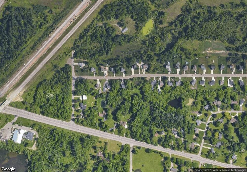
Map
Nearby Homes
- 16831 Steiner Way
- 7837 W Grand
- 6157 W Stoll Rd
- 6945 Delta River Dr
- V/L N Grove
- 0 Lot C Willow
- 0 Lot B Willow
- 6403 Willow Bend Dr
- 1738 Willow Creek Dr Unit 63
- 5754 River Ridge Dr
- 7234 Farm Hill Dr Unit 36
- Lot 3a Rachael Fairfax Dr
- 3204 Trillium Dr
- Lot 1a Rachael Fairfax Dr
- 2220 Cheltingham Blvd
- 1527 Lindy Dr
- 8687 Yellowstone Ln
- 15260 Nottingham Fields Pkwy
- 6102 Bradford Ln
- 15332 Sherwood Ln
- 6765 Thunder Ln
- 6775 Thunder Ln
- 6760 Thunder Ln
- 1276 Thunder Ln
- 1262 Thunder Ln
- 1345 Thunder Ln
- 1218 Thunder Ln
- 6802 Thunder Ln
- 0 Thunder Ln
- 6770 Thunder Ln
- 6750 Thunder Ln
- 6780 Thunder Ln
- 6780 Thunder Ln
- 6785 Thunder Ln
- 6785 Thunder Ln
- 6740 Thunder Ln
- 6745 Thunder Ln
- 6745 Thunder Ln
- 6745 Thunder Ln
- 6900 W Grand
Your Personal Tour Guide
Ask me questions while you tour the home.