Estimated Value: $354,000 - $487,000
--
Bed
--
Bath
2,712
Sq Ft
$153/Sq Ft
Est. Value
About This Home
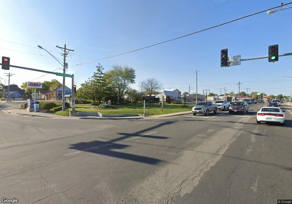
This home is located at 6766 Highway F, Cuba, MO 65453 and is currently estimated at $415,087, approximately $153 per square foot. 6766 Highway F is a home with nearby schools including Cuba Elementary School, Cuba Middle School, and Cuba High School.
Ownership History
Date
Name
Owned For
Owner Type
Purchase Details
Closed on
Aug 14, 2020
Sold by
Lavely E Leon E and Lavely Rhonda
Bought by
Boyer Larry J
Current Estimated Value
Home Financials for this Owner
Home Financials are based on the most recent Mortgage that was taken out on this home.
Original Mortgage
$96,000
Outstanding Balance
$85,000
Interest Rate
2.9%
Mortgage Type
New Conventional
Estimated Equity
$330,087
Purchase Details
Closed on
Aug 17, 2011
Sold by
Brown Debra Y and Brown Johnny Lee
Bought by
Cunningham Development Company Llc
Home Financials for this Owner
Home Financials are based on the most recent Mortgage that was taken out on this home.
Original Mortgage
$64,000
Interest Rate
4.65%
Mortgage Type
Future Advance Clause Open End Mortgage
Create a Home Valuation Report for This Property
The Home Valuation Report is an in-depth analysis detailing your home's value as well as a comparison with similar homes in the area
Home Values in the Area
Average Home Value in this Area
Purchase History
| Date | Buyer | Sale Price | Title Company |
|---|---|---|---|
| Boyer Larry J | -- | None Available | |
| Cunningham Development Company Llc | -- | Lay Bonded Title |
Source: Public Records
Mortgage History
| Date | Status | Borrower | Loan Amount |
|---|---|---|---|
| Open | Boyer Larry J | $96,000 | |
| Previous Owner | Cunningham Development Company Llc | $64,000 |
Source: Public Records
Tax History Compared to Growth
Tax History
| Year | Tax Paid | Tax Assessment Tax Assessment Total Assessment is a certain percentage of the fair market value that is determined by local assessors to be the total taxable value of land and additions on the property. | Land | Improvement |
|---|---|---|---|---|
| 2024 | $2,216 | $51,550 | $0 | $0 |
| 2023 | $2,209 | $51,550 | $0 | $0 |
| 2022 | $254 | $5,970 | $0 | $0 |
| 2021 | $424 | $9,960 | $0 | $0 |
| 2020 | $410 | $9,520 | $0 | $0 |
| 2019 | $410 | $9,520 | $0 | $0 |
| 2018 | $373 | $8,660 | $0 | $0 |
| 2017 | $346 | $8,660 | $0 | $0 |
| 2016 | $346 | $8,660 | $0 | $0 |
| 2015 | -- | $8,660 | $0 | $0 |
| 2014 | -- | $6,030 | $0 | $0 |
| 2013 | -- | $6,030 | $0 | $0 |
Source: Public Records
Map
Nearby Homes
- 0 Jakes Prairie Rd Unit Lot WP001 21859583
- 0 Jakes Prairie Rd
- 5975 Jakes Prairie Rd
- 2164 Spurgeon Rd
- 736 Westbrook Rd
- 1117 Pawnee Dr
- 1119 Pawnee Dr
- 1109 Pawnee Dr
- 1235 Lakeshore Dr
- 1295 Lakeshore Dr
- 1456 Sequoya Rd
- 919 Lakeshore Dr
- 1382 Osage Rd
- 4393 Highway Dd
- 1565 Cree Rd
- 20601 County Road 1220
- 749 Squaw Rd
- 747 Squaw Rd
- 1653 Lakeshore Dr
- 1985 Lakeshore Dr
