6767 N Fire Station Rd Bloomfield, IN 47424
Estimated Value: $177,126 - $353,000
--
Bed
1
Bath
1,620
Sq Ft
$164/Sq Ft
Est. Value
About This Home
This home is located at 6767 N Fire Station Rd, Bloomfield, IN 47424 and is currently estimated at $266,032, approximately $164 per square foot. 6767 N Fire Station Rd is a home with nearby schools including Bloomfield Elementary School and Bloomfield Junior/Senior High School.
Ownership History
Date
Name
Owned For
Owner Type
Purchase Details
Closed on
Jul 8, 2019
Sold by
Byers Tyler R
Bought by
Byers Tyler R and Byers Courtney L
Current Estimated Value
Home Financials for this Owner
Home Financials are based on the most recent Mortgage that was taken out on this home.
Original Mortgage
$84,000
Interest Rate
3.9%
Mortgage Type
New Conventional
Create a Home Valuation Report for This Property
The Home Valuation Report is an in-depth analysis detailing your home's value as well as a comparison with similar homes in the area
Home Values in the Area
Average Home Value in this Area
Purchase History
| Date | Buyer | Sale Price | Title Company |
|---|---|---|---|
| Byers Tyler R | -- | Crane Title |
Source: Public Records
Mortgage History
| Date | Status | Borrower | Loan Amount |
|---|---|---|---|
| Closed | Byers Tyler R | $84,000 |
Source: Public Records
Tax History Compared to Growth
Tax History
| Year | Tax Paid | Tax Assessment Tax Assessment Total Assessment is a certain percentage of the fair market value that is determined by local assessors to be the total taxable value of land and additions on the property. | Land | Improvement |
|---|---|---|---|---|
| 2024 | $978 | $110,800 | $20,500 | $90,300 |
| 2023 | $1,003 | $113,000 | $20,500 | $92,500 |
| 2022 | $1,038 | $115,900 | $20,500 | $95,400 |
| 2021 | $457 | $79,100 | $20,500 | $58,600 |
| 2020 | $419 | $79,100 | $20,500 | $58,600 |
| 2019 | $411 | $79,100 | $20,500 | $58,600 |
| 2018 | $408 | $79,900 | $20,500 | $59,400 |
| 2017 | $385 | $79,300 | $20,500 | $58,800 |
| 2016 | $356 | $71,800 | $20,500 | $51,300 |
| 2014 | $300 | $70,800 | $20,500 | $50,300 |
| 2013 | -- | $70,800 | $20,500 | $50,300 |
Source: Public Records
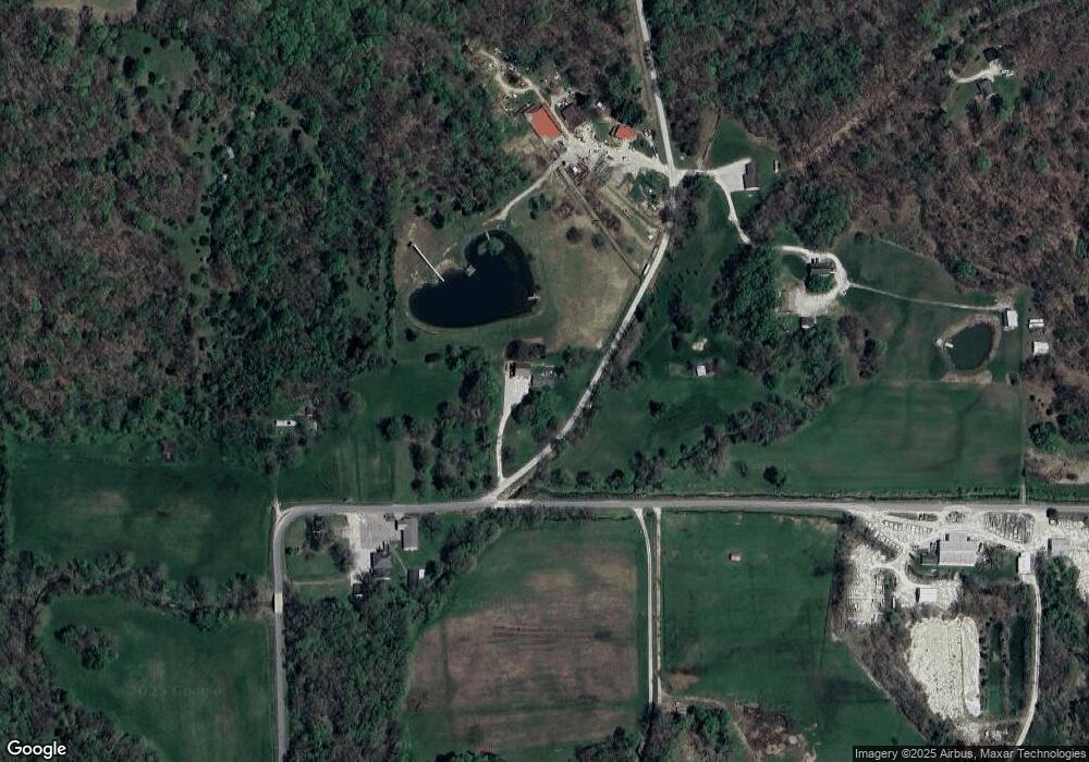
Map
Nearby Homes
- 5746 N La Salle Estates Dr
- 5746 N La Salle Estates Ln
- 1889 E Frye Rd
- Northwood Lane N Northwood Ln
- TBD N Ferry Rd
- 6017 N Old 157
- 6257 E Calvertville Rd
- 107 Christian St
- 119 Extension St
- 322 N Washington St
- 108 N Lafayette St
- 0 S Commercial St
- 7403 Griffith Rd
- 27 N Edwards St
- 374 Worthington St
- 7289 Abrell Rd
- 874 N Corwin Rd
- 7000 S US Highway 231
- 1789 W 400 N Rd
- 2 E 100 Rd
- 2340 E Calvertville Rd
- 2336 E Calvertville Rd
- 91 Rr 5
- 7071 N Fire Station Rd
- 2698 E Pottawatomie Rd
- 2705 E Calvertville Rd
- 2188 E Calvertville Rd
- 2191 E Calvertville Rd
- 7236 N Fire Station Rd
- 6406 E Calvertville Rd
- 2703 E Pottawatomie Rd
- (00) N Fire Station Rd
- 2766 E Calvertville Rd
- 2895 E Calvertville Rd
- 2879 E Calvertville Rd
- 2810 E Pottawatomie Rd
- 6126 N That Ln
- 6170 N That Ln
- 1732 E Wilson Rd
- 1862 E Wilson Rd