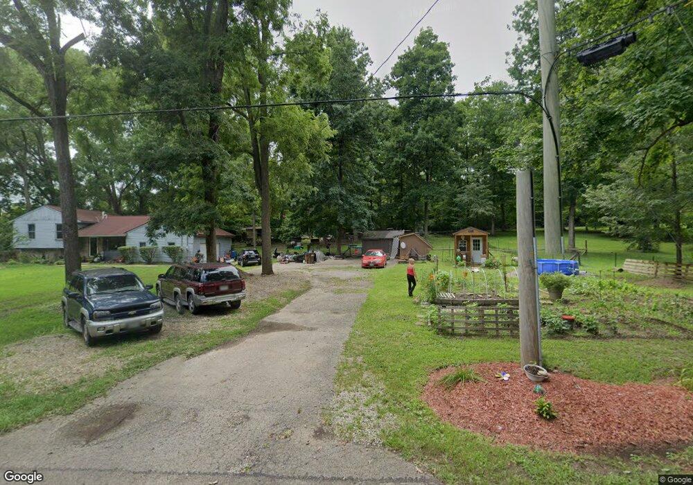
6769 Neanover Rd Somerville, OH 45064
Milford Township NeighborhoodEstimated Value: $236,000 - $310,806
4
Beds
3
Baths
1,782
Sq Ft
$159/Sq Ft
Est. Value
About This Home
This home is located at 6769 Neanover Rd, Somerville, OH 45064 and is currently estimated at $284,202, approximately $159 per square foot. 6769 Neanover Rd is a home located in Butler County with nearby schools including Talawanda Middle School and Talawanda High School.
Ownership History
Date
Name
Owned For
Owner Type
Purchase Details
Closed on
Oct 15, 2008
Sold by
Lougheed Michael J
Bought by
Household Realty Corporation
Current Estimated Value
Purchase Details
Closed on
Jun 29, 2001
Sold by
Clemons Brenda L
Bought by
Lougheed Michael J
Home Financials for this Owner
Home Financials are based on the most recent Mortgage that was taken out on this home.
Original Mortgage
$119,920
Interest Rate
7.18%
Create a Home Valuation Report for This Property
The Home Valuation Report is an in-depth analysis detailing your home's value as well as a comparison with similar homes in the area
Home Values in the Area
Average Home Value in this Area
Purchase History
| Date | Buyer | Sale Price | Title Company |
|---|---|---|---|
| Household Realty Corporation | $87,000 | None Available | |
| Lougheed Michael J | $149,900 | -- |
Source: Public Records
Mortgage History
| Date | Status | Borrower | Loan Amount |
|---|---|---|---|
| Previous Owner | Lougheed Michael J | $119,920 |
Source: Public Records
Tax History Compared to Growth
Tax History
| Year | Tax Paid | Tax Assessment Tax Assessment Total Assessment is a certain percentage of the fair market value that is determined by local assessors to be the total taxable value of land and additions on the property. | Land | Improvement |
|---|---|---|---|---|
| 2024 | $2,999 | $84,000 | $13,510 | $70,490 |
| 2023 | $2,983 | $84,000 | $13,510 | $70,490 |
| 2022 | $2,296 | $58,050 | $13,510 | $44,540 |
| 2021 | $2,189 | $58,050 | $13,510 | $44,540 |
| 2020 | $2,286 | $58,050 | $13,510 | $44,540 |
| 2019 | $3,724 | $47,660 | $13,510 | $34,150 |
| 2018 | $1,975 | $47,660 | $13,510 | $34,150 |
| 2017 | $1,838 | $47,660 | $13,510 | $34,150 |
| 2016 | $1,695 | $42,500 | $13,510 | $28,990 |
| 2015 | $1,722 | $42,500 | $13,510 | $28,990 |
| 2014 | $1,350 | $42,500 | $13,510 | $28,990 |
| 2013 | $1,350 | $32,670 | $13,510 | $19,160 |
Source: Public Records
Map
Nearby Homes
- 6711 Neanover Rd
- 2680 Somerville Rd
- 105 Mill St
- 132 N Main St
- 3355 Somerville Rd
- AC Somerville Rd
- 1222 Oxford Germantown Rd
- 1246 Oxford Germantown Rd
- 3550 Oxford-Middletown
- 1004 Oxford Middletown Rd
- 2280 Harris Rd
- C Hamilton Richmond Rd
- B Hamilton Richmond Rd
- 6135 Jericho Ln
- 6411 Oxford Milford Rd
- 0 Trenton Oxford Rd Unit 1845432
- 5123 Hamilton Eaton Rd
- 5115 & 5123 Hamilton Eaton Rd
- 5115 Hamilton Eaton Rd
- 4719 Hamilton Richmond Rd
- 6783 Neanover Rd
- 100 S Mound St
- 0 State Rt 127
- .831 ac State Rt 127
- .831 ac St Rt 127
- .831 ac State Route127
- 6741 State Route 127
- 6741 State Route 127
- 6691 Neanover Rd
- 6795 S Mound St
- 6671 Neanover Rd
- 6835 Mound St
- 6814 S Mound St
- 6831 S Mound St
- 6651 Neanover Rd
- 6855 Neanover Rd
- 6672 Baker Rd
- 6794 6798 S Mound St
- 6834 S Mound St
- 6682 Baker Rd