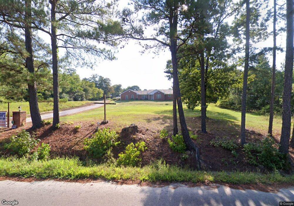
677 Aldridge Rd Pearcy, AR 71964
Estimated Value: $256,861 - $494,000
--
Bed
--
Bath
1,587
Sq Ft
$236/Sq Ft
Est. Value
About This Home
This home is located at 677 Aldridge Rd, Pearcy, AR 71964 and is currently estimated at $374,215, approximately $235 per square foot. 677 Aldridge Rd is a home with nearby schools including Lake Hamilton Primary School, Lake Hamilton Elementary School, and Lake Hamilton Interm. School.
Ownership History
Date
Name
Owned For
Owner Type
Purchase Details
Closed on
Dec 27, 2019
Sold by
Kirk Shirley
Bought by
Kirk Gene and Kirk Shirley
Current Estimated Value
Purchase Details
Closed on
Feb 14, 2006
Sold by
Rowland Christopher Brandon
Bought by
Kirk Shirley
Home Financials for this Owner
Home Financials are based on the most recent Mortgage that was taken out on this home.
Original Mortgage
$74,500
Outstanding Balance
$41,452
Interest Rate
6.1%
Mortgage Type
New Conventional
Estimated Equity
$332,763
Purchase Details
Closed on
Oct 10, 2005
Sold by
Not Provided
Bought by
Rowland Christopher Brandon
Create a Home Valuation Report for This Property
The Home Valuation Report is an in-depth analysis detailing your home's value as well as a comparison with similar homes in the area
Home Values in the Area
Average Home Value in this Area
Purchase History
| Date | Buyer | Sale Price | Title Company |
|---|---|---|---|
| Kirk Gene | -- | None Available | |
| Kirk Shirley | $150,000 | Stewart Title | |
| Rowland Christopher Brandon | $40,000 | -- |
Source: Public Records
Mortgage History
| Date | Status | Borrower | Loan Amount |
|---|---|---|---|
| Open | Kirk Shirley | $74,500 |
Source: Public Records
Tax History Compared to Growth
Tax History
| Year | Tax Paid | Tax Assessment Tax Assessment Total Assessment is a certain percentage of the fair market value that is determined by local assessors to be the total taxable value of land and additions on the property. | Land | Improvement |
|---|---|---|---|---|
| 2025 | $782 | $44,440 | $5,350 | $39,090 |
| 2024 | $863 | $44,440 | $5,350 | $39,090 |
| 2023 | $938 | $44,440 | $5,350 | $39,090 |
| 2022 | $1,438 | $44,440 | $5,350 | $39,090 |
| 2021 | $1,436 | $31,120 | $3,220 | $27,900 |
| 2020 | $1,061 | $31,120 | $3,220 | $27,900 |
| 2019 | $1,001 | $31,120 | $3,220 | $27,900 |
| 2018 | $1,026 | $31,120 | $3,220 | $27,900 |
| 2017 | $1,026 | $31,120 | $3,220 | $27,900 |
| 2016 | $1,014 | $30,860 | $4,400 | $26,460 |
| 2015 | $1,014 | $30,860 | $4,400 | $26,460 |
| 2014 | $1,014 | $30,860 | $4,400 | $26,460 |
Source: Public Records
Map
Nearby Homes
- TBD Music Dr
- 3370 Airport Rd
- 214 S Ross Maddox Rd
- 1884 S Moore Rd
- 209 Fortress Ln
- 408 Adam Brown Rd
- 156 Whited Farm Ln
- 209 Fox Chase Cir
- 237 Fox Chase Cir
- 101 Songer
- 101 Sundance Trail
- 1209 S Moore Rd
- 111 Rolling Acres Dr
- 5701 Sunshine Rd Unit B
- 5701 B Sunshine Rd
- 218 Charming Heights Dr
- 127 Sundance Trail
- 130 Kidder Ln
- 127 Carnation Place
- 113 Breckenridge Terrace
- 000 Aldridge Rd
- 675 Aldridge Rd
- 675 & 677 Aldridge
- 651 Aldridge Rd
- 674 Aldridge Rd
- 638 Aldridge Rd
- 650 Aldridge Rd
- 151 Amaryllis Place
- 138 Amaryllis Place
- 109 Cameo Trail
- 690 Aldridge Rd
- 245 Fairpark Rd
- 178 Fairpark Rd
- 200 Amaryllis Place
- 0 Amaryllis
- 275 Fairpark Rd
- 573 Aldridge Rd
- 290 Fairpark Rd
- 580 Aldridge Rd
- 289 Fairpark Rd