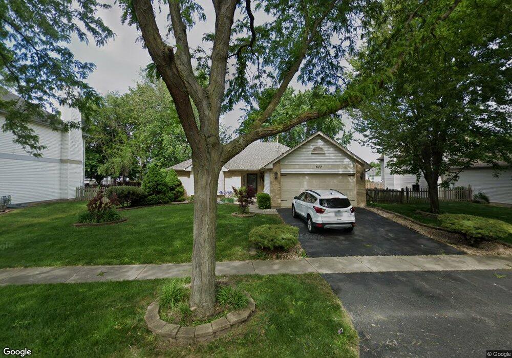
677 Birchwood Dr Bolingbrook, IL 60490
Lily Cache NeighborhoodEstimated Value: $392,387 - $412,000
--
Bed
--
Bath
1,601
Sq Ft
$251/Sq Ft
Est. Value
About This Home
This home is located at 677 Birchwood Dr, Bolingbrook, IL 60490 and is currently estimated at $402,097, approximately $251 per square foot. 677 Birchwood Dr is a home located in Will County with nearby schools including Pioneer Elementary School, Brooks Middle School, and Bolingbrook High School.
Ownership History
Date
Name
Owned For
Owner Type
Purchase Details
Closed on
May 27, 1994
Sold by
Neumann Homes Inc
Bought by
Pollastrini John F and Pollastrini Judith A
Current Estimated Value
Home Financials for this Owner
Home Financials are based on the most recent Mortgage that was taken out on this home.
Original Mortgage
$124,500
Interest Rate
8.48%
Create a Home Valuation Report for This Property
The Home Valuation Report is an in-depth analysis detailing your home's value as well as a comparison with similar homes in the area
Home Values in the Area
Average Home Value in this Area
Purchase History
| Date | Buyer | Sale Price | Title Company |
|---|---|---|---|
| Pollastrini John F | $156,500 | First American Title Insuran |
Source: Public Records
Mortgage History
| Date | Status | Borrower | Loan Amount |
|---|---|---|---|
| Closed | Pollastrini John F | $124,500 |
Source: Public Records
Tax History Compared to Growth
Tax History
| Year | Tax Paid | Tax Assessment Tax Assessment Total Assessment is a certain percentage of the fair market value that is determined by local assessors to be the total taxable value of land and additions on the property. | Land | Improvement |
|---|---|---|---|---|
| 2024 | $9,559 | $119,505 | $20,056 | $99,449 |
| 2023 | $9,559 | $107,527 | $18,046 | $89,481 |
| 2022 | $8,878 | $96,941 | $16,269 | $80,672 |
| 2021 | $6,518 | $90,642 | $15,212 | $75,430 |
| 2020 | $6,549 | $87,662 | $14,712 | $72,950 |
| 2019 | $6,680 | $83,487 | $14,011 | $69,476 |
| 2018 | $6,724 | $79,907 | $13,410 | $66,497 |
| 2017 | $6,786 | $75,741 | $12,711 | $63,030 |
| 2016 | $6,561 | $72,100 | $12,100 | $60,000 |
| 2015 | $6,093 | $69,200 | $11,600 | $57,600 |
| 2014 | $6,093 | $65,900 | $11,000 | $54,900 |
| 2013 | $6,093 | $62,800 | $10,500 | $52,300 |
Source: Public Records
Map
Nearby Homes
- 652 Timberline Dr
- 558 Pinebrook Dr
- 545 Pinebrook Dr
- 1433 White Pine Ln
- 1437 Sage Dr
- 1488 Schoenherr Ave
- 1536 Trails End Ln Unit 5A
- 1424 Sage Dr
- 1544 Suncrest Ln
- 584 Lakewood Farms Dr
- 402 S Palmer Dr Unit 2B
- 402 Marshall Ash St Unit 3
- 725 Delacourte Ave
- 1409 Aster Ln
- 1692 Trails End Ln Unit 6
- 1616 Sutton Place Unit 1
- 1499 Raven Dr Unit 4
- 856 Fieldcrest Dr
- 812 Metropolitan Ave Unit 1
- 333 Inner Circle Dr
- 683 Birchwood Dr
- 671 Birchwood Dr
- 682 Timberline Dr
- 676 Timberline Dr
- 689 Birchwood Dr
- 665 Birchwood Dr
- 688 Timberline Dr
- 670 Timberline Dr
- 676 Birchwood Dr
- 682 Birchwood Dr
- 670 Birchwood Dr
- 694 Timberline Dr
- 688 Birchwood Dr
- 659 Birchwood Dr
- 664 Timberline Dr
- 695 Birchwood Dr
- 694 Birchwood Dr
- 677 Timberline Dr
- 673 Maple Trail
- 1468 Basswood Dr