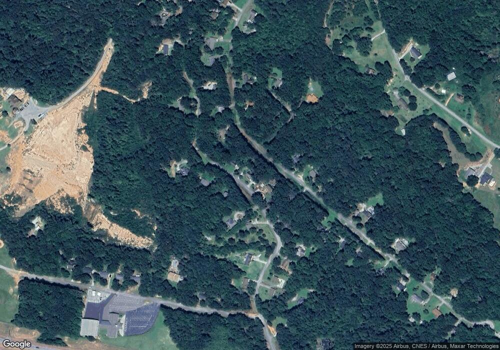
677 Cawthon Rd Toccoa, GA 30577
Estimated Value: $252,000 - $290,000
3
Beds
2
Baths
1,522
Sq Ft
$175/Sq Ft
Est. Value
About This Home
This home is located at 677 Cawthon Rd, Toccoa, GA 30577 and is currently estimated at $266,312, approximately $174 per square foot. 677 Cawthon Rd is a home located in Stephens County with nearby schools including Stephens County High School.
Ownership History
Date
Name
Owned For
Owner Type
Purchase Details
Closed on
Apr 5, 2019
Sold by
Cook James K
Bought by
Green William D
Current Estimated Value
Home Financials for this Owner
Home Financials are based on the most recent Mortgage that was taken out on this home.
Original Mortgage
$150,100
Outstanding Balance
$131,696
Interest Rate
4.4%
Mortgage Type
New Conventional
Estimated Equity
$134,616
Purchase Details
Closed on
Jun 1, 1992
Bought by
Cook James K and Cook Sandra H
Create a Home Valuation Report for This Property
The Home Valuation Report is an in-depth analysis detailing your home's value as well as a comparison with similar homes in the area
Purchase History
| Date | Buyer | Sale Price | Title Company |
|---|---|---|---|
| Green William D | $158,000 | -- | |
| Cook James K | $62,500 | -- |
Source: Public Records
Mortgage History
| Date | Status | Borrower | Loan Amount |
|---|---|---|---|
| Open | Green William D | $150,100 |
Source: Public Records
Tax History
| Year | Tax Paid | Tax Assessment Tax Assessment Total Assessment is a certain percentage of the fair market value that is determined by local assessors to be the total taxable value of land and additions on the property. | Land | Improvement |
|---|---|---|---|---|
| 2025 | $2,086 | $93,197 | $3,286 | $89,911 |
| 2024 | $1,865 | $63,254 | $3,286 | $59,968 |
| 2023 | $1,704 | $59,248 | $3,286 | $55,962 |
| 2022 | $1,673 | $56,189 | $3,286 | $52,903 |
| 2021 | $1,640 | $52,438 | $3,286 | $49,152 |
| 2020 | $1,649 | $52,224 | $3,286 | $48,938 |
| 2019 | $1,170 | $38,895 | $3,051 | $35,844 |
| 2018 | $1,064 | $35,569 | $3,051 | $32,518 |
| 2017 | $1,073 | $35,310 | $3,051 | $32,259 |
| 2016 | $1,056 | $35,310 | $3,051 | $32,258 |
| 2015 | $1,102 | $35,188 | $3,051 | $32,137 |
| 2014 | $1,136 | $35,659 | $3,051 | $32,608 |
| 2013 | -- | $36,186 | $3,051 | $33,134 |
Source: Public Records
Map
Nearby Homes
- 9369 Sherwood Ct
- 808 Cawthon Rd
- 75 Cawthon Rd
- 2003 W Currahee St
- 335 Easy St
- 69 Easy St
- 1387 Mize Rd
- 184 Scott Cir
- 151 Richardson St
- 258 Persimmon St
- 168 Yearwood St
- 1203 Mize Rd
- 1241 W Currahee St
- 103 Old Liberty Hill Rd
- 1037 S Pond St
- 871 W Leatherwood Rd
- 915 W Leatherwood Rd
- 146 Collier Rd
- 943 S Pond St
- 215 Old Mize Rd
- 651 Cawthon Rd
- 753 Cawthon Rd
- 9351 Sherwood St
- 4754 Cawthon Rd
- 652 Cawthon Rd
- 405 Sherwood St
- 316 Sherwood St
- 428 Sherwood St
- 37 Sherwood Ct
- 642 Cawthon Rd
- 9362 Sherwood St Unit 24 A
- 726 Cawthon Rd
- 427 Sherwood St
- 700 Cawthon Rd
- 299 Sherwood St
- 751 Cawthon Rd
- 751 Cawthon Rd
- 292 Sherwood St Unit 9
- 292 Sherwood St
- 0 Sherwood St Unit 7162492
Your Personal Tour Guide
Ask me questions while you tour the home.
