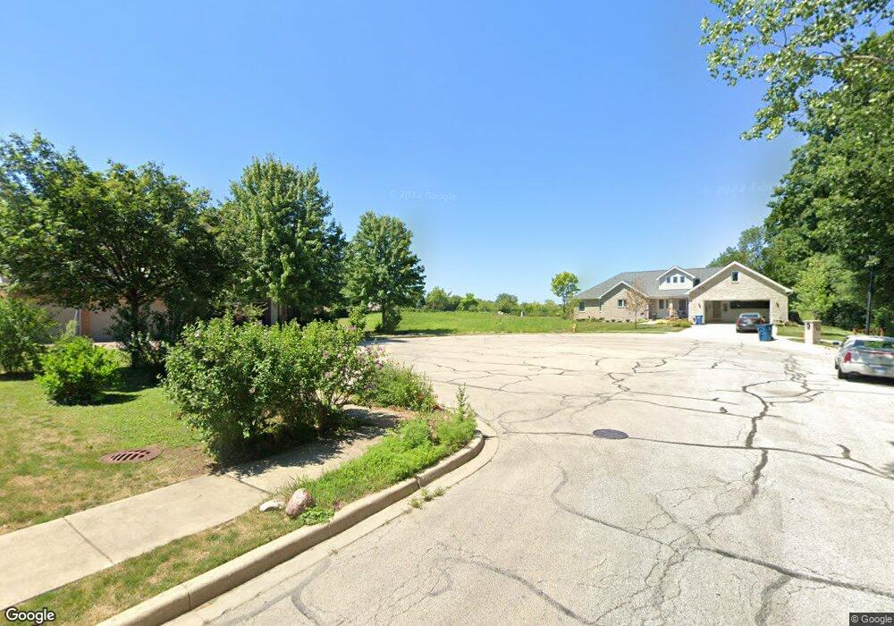
677 E Byron Ave Addison, IL 60101
Estimated Value: $108,000 - $377,000
Studio
--
Bath
--
Sq Ft
12,632
Sq Ft Lot
About This Home
This home is located at 677 E Byron Ave, Addison, IL 60101 and is currently estimated at $244,651. 677 E Byron Ave is a home with nearby schools including Fullerton Elementary School, Indian Trail Jr High School, and Addison Trail High School.
Ownership History
Date
Name
Owned For
Owner Type
Purchase Details
Closed on
Aug 19, 2021
Sold by
Ciolino Joseph
Bought by
Roszkowski Robert
Current Estimated Value
Purchase Details
Closed on
Dec 20, 2020
Sold by
Ciolino Mary
Bought by
Ciolino Joseph
Purchase Details
Closed on
Nov 11, 2009
Sold by
Elite Electric Company
Bought by
Ciolino Mary
Purchase Details
Closed on
Jul 18, 2007
Sold by
Bankfinancial Fsb
Bought by
Elite Electric Co
Purchase Details
Closed on
Dec 10, 2003
Sold by
Ciolino Joseph
Bought by
Bank Financial Fsb and Trust #010695
Create a Home Valuation Report for This Property
The Home Valuation Report is an in-depth analysis detailing your home's value as well as a comparison with similar homes in the area
Home Values in the Area
Average Home Value in this Area
Purchase History
| Date | Buyer | Sale Price | Title Company |
|---|---|---|---|
| Roszkowski Robert | $215,000 | Chicago Title | |
| Ciolino Joseph | -- | None Available | |
| Ciolino Mary | -- | None Available | |
| Elite Electric Co | $200,000 | None Available | |
| Bank Financial Fsb | -- | -- |
Source: Public Records
Tax History
| Year | Tax Paid | Tax Assessment Tax Assessment Total Assessment is a certain percentage of the fair market value that is determined by local assessors to be the total taxable value of land and additions on the property. | Land | Improvement |
|---|---|---|---|---|
| 2024 | $4,011 | $56,914 | $56,914 | -- |
| 2023 | $3,851 | $52,320 | $52,320 | $0 |
| 2022 | $3,834 | $52,060 | $52,060 | $0 |
| 2021 | $3,683 | $49,870 | $49,870 | $0 |
| 2020 | $3,593 | $47,770 | $47,770 | $0 |
| 2019 | $3,577 | $45,930 | $45,930 | $0 |
| 2018 | $3,550 | $43,730 | $43,730 | $0 |
| 2017 | $3,469 | $41,790 | $41,790 | $0 |
| 2016 | $3,395 | $38,580 | $38,580 | $0 |
| 2015 | $3,332 | $35,640 | $35,640 | $0 |
| 2014 | $3,285 | $34,910 | $34,910 | $0 |
| 2013 | $3,212 | $35,620 | $35,620 | $0 |
Source: Public Records
Map
Nearby Homes
- 810 N Cherry St
- 473 S Edgewood Ave
- 329 Montclare Ln
- 17W120 Woodland Ave
- 311 Montclare Ln
- 238 N Hillcrest Ave
- 271 S Cedar Ave
- 543 N Chestnut St
- 388 Preserve Ln
- 215 E Oak St
- 190 S Wood Dale Rd Unit 200
- 190 S Wood Dale Rd Unit 1107
- 190 S Wood Dale Rd Unit 806
- 190 S Wood Dale Rd Unit 208
- 190 S Wood Dale Rd Unit 902
- 462 Mulberry Ln
- 225 N State St
- 000 Lot#1 Ridgewood Ave
- 133 E Lake St
- 16W614 3rd Ave
- 669 E Byron Ave
- 685 E Byron Ave
- 680 E Hickory Ave
- 670 E Hickory Ave
- 17w E Hickory Ave
- 693 E Byron Ave
- 17W544 Hickory Ave
- 701 E Byron Ave
- 701 E Byron Ave
- 17W534 Hickory Ave
- 17W526 Hickory Ave
- 671 E Hickory Ave
- 681 E Hickory Ave
- 709 E Byron Ave
- 691 E Hickory Ave
- 4N368 Maple Ave
- 4N368 Maple Ave
- 701 E Hickory Ave
- 701 E Hickory Ave
- 4N380 Maple Ave
Your Personal Tour Guide
Ask me questions while you tour the home.