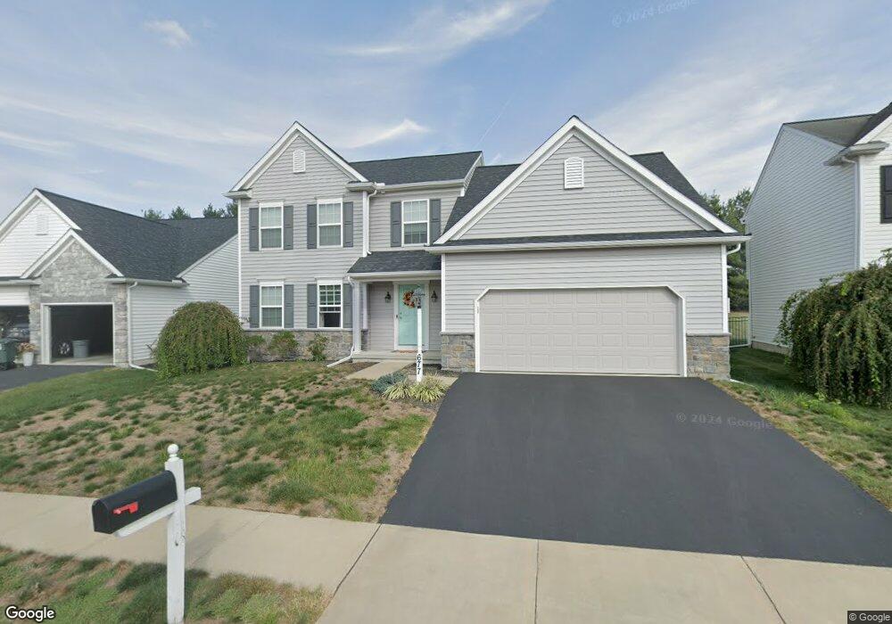
677 Hamaker Rd Manheim, PA 17545
Estimated Value: $451,511 - $512,000
3
Beds
2
Baths
2,466
Sq Ft
$198/Sq Ft
Est. Value
About This Home
This home is located at 677 Hamaker Rd, Manheim, PA 17545 and is currently estimated at $489,128, approximately $198 per square foot. 677 Hamaker Rd is a home with nearby schools including Manheim Central Senior High School, Manheim Christian Day School, and Sporting Hill Christian School.
Ownership History
Date
Name
Owned For
Owner Type
Purchase Details
Closed on
Oct 5, 2018
Sold by
Charles Investments Lp
Bought by
Vernau Kyle D and Vernau Krystal A
Current Estimated Value
Home Financials for this Owner
Home Financials are based on the most recent Mortgage that was taken out on this home.
Original Mortgage
$263,470
Outstanding Balance
$229,762
Interest Rate
4.5%
Mortgage Type
New Conventional
Estimated Equity
$259,366
Create a Home Valuation Report for This Property
The Home Valuation Report is an in-depth analysis detailing your home's value as well as a comparison with similar homes in the area
Home Values in the Area
Average Home Value in this Area
Purchase History
| Date | Buyer | Sale Price | Title Company |
|---|---|---|---|
| Vernau Kyle D | $285,390 | None Available |
Source: Public Records
Mortgage History
| Date | Status | Borrower | Loan Amount |
|---|---|---|---|
| Open | Vernau Kyle D | $263,470 |
Source: Public Records
Tax History
| Year | Tax Paid | Tax Assessment Tax Assessment Total Assessment is a certain percentage of the fair market value that is determined by local assessors to be the total taxable value of land and additions on the property. | Land | Improvement |
|---|---|---|---|---|
| 2025 | $5,541 | $271,800 | $60,000 | $211,800 |
| 2024 | $5,541 | $271,800 | $60,000 | $211,800 |
| 2023 | $5,425 | $271,800 | $60,000 | $211,800 |
| 2022 | $5,285 | $271,800 | $60,000 | $211,800 |
| 2021 | $5,090 | $267,800 | $60,000 | $207,800 |
| 2020 | $5,090 | $267,800 | $60,000 | $207,800 |
| 2019 | $5,001 | $267,800 | $60,000 | $207,800 |
| 2018 | $774 | $54,000 | $54,000 | $0 |
| 2017 | $846 | $36,300 | $36,300 | $0 |
| 2016 | $846 | $36,300 | $36,300 | $0 |
| 2015 | $201 | $36,300 | $36,300 | $0 |
| 2014 | $624 | $36,300 | $36,300 | $0 |
Source: Public Records
Map
Nearby Homes
- 820 Cambridge Dr Unit 77
- 714 Heather Ridge Unit 140
- 854 Cambridge Dr Unit 7
- 730 Heather Ridge Unit 146
- 900 Cambridge Dr
- 988 Cambridge Dr
- 209 N Laurel St
- 130 Julia Ln
- 33 E Gramby St
- 81 S Linden St
- 29 W Gramby St
- 126 N Charlotte St
- 57 N Charlotte St
- 2 S Charlotte St
- 37 W Ferdinand St
- 546 Hi View Dr
- 1505 Newport Rd
- 1227 Lebanon Rd
- 1235 Lebanon Rd
- 9 Vista Ln
- 681 Hamaker Rd
- 673 Hamaker Rd
- 685 Hamaker Rd
- 669 Hamaker Rd
- 674 Hamaker Rd
- 682 Hamaker Rd
- 596 Wood Duck Dr
- 670 Hamaker Rd
- 592 Wood Duck Dr
- 590 Wood Duck Dr
- 598 Wood Duck Dr
- 600 Wood Duck Dr
- 665 Hamaker Rd
- 588 Wood Duck Dr
- 602 Wood Duck Dr
- 684 Hamaker Rd
- 574 Wood Duck Dr
- 606 Wood Duck Dr
- 662 Hamaker Rd
- 570 Wood Duck Dr
Your Personal Tour Guide
Ask me questions while you tour the home.