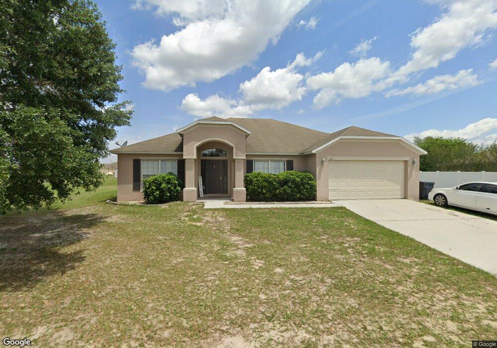
677 Hatchwood Dr Haines City, FL 33844
Estimated Value: $349,000 - $357,000
4
Beds
2
Baths
2,869
Sq Ft
$123/Sq Ft
Est. Value
About This Home
This home is located at 677 Hatchwood Dr, Haines City, FL 33844 and is currently estimated at $353,460, approximately $123 per square foot. 677 Hatchwood Dr is a home located in Polk County with nearby schools including Dundee Elementary Academy, Haines City Senior High School, and Davenport School Of The Arts.
Ownership History
Date
Name
Owned For
Owner Type
Purchase Details
Closed on
Jan 21, 2011
Sold by
Tsang Samantha
Bought by
Tiger Development Llc
Current Estimated Value
Purchase Details
Closed on
Jun 8, 2010
Sold by
Wong Tsun K
Bought by
Tsang Samantha
Purchase Details
Closed on
Oct 30, 2006
Sold by
Americas First Home Llp
Bought by
Wong Tsun
Home Financials for this Owner
Home Financials are based on the most recent Mortgage that was taken out on this home.
Original Mortgage
$238,813
Interest Rate
8.5%
Mortgage Type
Negative Amortization
Create a Home Valuation Report for This Property
The Home Valuation Report is an in-depth analysis detailing your home's value as well as a comparison with similar homes in the area
Home Values in the Area
Average Home Value in this Area
Purchase History
| Date | Buyer | Sale Price | Title Company |
|---|---|---|---|
| Tiger Development Llc | $120,000 | Attorney | |
| Tsang Samantha | $110,000 | Attorney | |
| Wong Tsun | $298,600 | Exceptional Title Ii Llc |
Source: Public Records
Mortgage History
| Date | Status | Borrower | Loan Amount |
|---|---|---|---|
| Previous Owner | Wong Tsun | $238,813 |
Source: Public Records
Tax History Compared to Growth
Tax History
| Year | Tax Paid | Tax Assessment Tax Assessment Total Assessment is a certain percentage of the fair market value that is determined by local assessors to be the total taxable value of land and additions on the property. | Land | Improvement |
|---|---|---|---|---|
| 2025 | $4,325 | $290,421 | $29,000 | $261,421 |
| 2024 | -- | $277,841 | -- | -- |
| 2023 | $3,944 | $252,583 | $0 | $0 |
| 2022 | $3,748 | $229,621 | $0 | $0 |
| 2021 | $3,392 | $208,746 | $0 | $0 |
| 2020 | $3,078 | $189,769 | $20,000 | $169,769 |
| 2018 | $2,805 | $166,401 | $19,000 | $147,401 |
| 2017 | $2,604 | $152,309 | $0 | $0 |
| 2016 | $2,467 | $138,463 | $0 | $0 |
| 2015 | $1,961 | $125,875 | $0 | $0 |
| 2014 | $1,976 | $114,432 | $0 | $0 |
Source: Public Records
Map
Nearby Homes
- 115 Rough Ln
- 12 Fairview Dr N
- 30 Fairview Dr N
- 117 Sanderling Dr
- 70 Fairview Dr S
- 71 Fairview Dr S
- 73 Fairview Dr S
- 3 Maple Run
- 30 Buck Cir
- 56 Buck Cir
- 0 Jennings Rd Unit A11897994
- 8 Buck Cir Unit 8
- 7 Buck Cir Unit 7
- 5 Buck Cir
- 16 Cypress Run
- 13 Sun Air Blvd E
- 205 Golf Aire Blvd
- 237 Kent Ct
- 2415 Pecos Ln
- 2409 Pecos Ln
- 681 Hatchwood Dr
- 673 Hatchwood Dr
- 165 Sanderling Dr
- 685 Hatchwood Dr
- 161 Sanderling Dr
- 669 Hatchwood Dr
- 169 Sanderling Dr
- 672 Hatchwood Dr
- 689 Hatchwood Dr
- 157 Sanderling Dr
- 668 Hatchwood Dr
- 665 Hatchwood Dr
- 173 Sanderling Dr
- 664 Hatchwood Dr
- 153 Sanderling Dr
- 168 Sanderling Dr
- 164 Sanderling Dr
- 661 Hatchwood Dr
- 0 Woodland Dr Unit P4901455
- 660 Hatchwood Dr