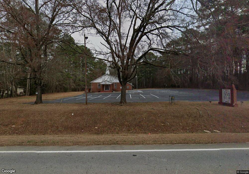
677 Highway 142 Covington, GA 30014
Estimated Value: $502,000 - $547,886
--
Bed
2
Baths
2,927
Sq Ft
$178/Sq Ft
Est. Value
About This Home
This home is located at 677 Highway 142, Covington, GA 30014 and is currently estimated at $521,972, approximately $178 per square foot. 677 Highway 142 is a home located in Newton County with nearby schools including East Newton Elementary School, Cousins Middle School, and Eastside High School.
Ownership History
Date
Name
Owned For
Owner Type
Purchase Details
Closed on
Nov 30, 2020
Sold by
Hyde Jimmy L
Bought by
Hyde Jimmy L and Hyde Carly
Current Estimated Value
Home Financials for this Owner
Home Financials are based on the most recent Mortgage that was taken out on this home.
Original Mortgage
$266,000
Outstanding Balance
$234,069
Interest Rate
2.8%
Mortgage Type
New Conventional
Estimated Equity
$287,903
Purchase Details
Closed on
Jan 6, 2009
Sold by
Crudup Mary C
Bought by
Crudup Edward A
Create a Home Valuation Report for This Property
The Home Valuation Report is an in-depth analysis detailing your home's value as well as a comparison with similar homes in the area
Home Values in the Area
Average Home Value in this Area
Purchase History
| Date | Buyer | Sale Price | Title Company |
|---|---|---|---|
| Hyde Jimmy L | -- | -- | |
| Hyde Jimmy L | $332,500 | -- | |
| Crudup Edward A | -- | -- |
Source: Public Records
Mortgage History
| Date | Status | Borrower | Loan Amount |
|---|---|---|---|
| Open | Hyde Jimmy L | $266,000 | |
| Closed | Hyde Jimmy L | $266,000 |
Source: Public Records
Tax History Compared to Growth
Tax History
| Year | Tax Paid | Tax Assessment Tax Assessment Total Assessment is a certain percentage of the fair market value that is determined by local assessors to be the total taxable value of land and additions on the property. | Land | Improvement |
|---|---|---|---|---|
| 2025 | $3,365 | $196,640 | $64,960 | $131,680 |
| 2024 | $3,237 | $185,680 | $64,960 | $120,720 |
| 2023 | $3,222 | $176,720 | $64,960 | $111,760 |
| 2022 | $3,515 | $133,400 | $34,120 | $99,280 |
| 2021 | $3,758 | $123,920 | $34,120 | $89,800 |
| 2020 | $3,570 | $110,160 | $34,120 | $76,040 |
| 2019 | $2,968 | $90,920 | $34,120 | $56,800 |
| 2018 | $2,908 | $88,600 | $34,120 | $54,480 |
| 2017 | $2,867 | $87,400 | $33,120 | $54,280 |
| 2016 | $2,554 | $78,280 | $24,000 | $54,280 |
| 2015 | $2,613 | $80,000 | $23,760 | $56,240 |
| 2014 | $2,624 | $80,520 | $0 | $0 |
Source: Public Records
Map
Nearby Homes
- 155 Tall Oak Trail
- 55 Tall Oak Trail
- 160 Vinnys Way Unit 1
- 160 Vinny's Way
- 145 Vinnys Terrace
- 155 Vinnys Way
- 65 Dogwood Ln
- 66 Dogwood Ln
- 95 Dixie Trail
- 595 Ridgeway Rd
- 245 Tamea Trail
- 147 Cobb Rd
- 50 Hidden Forest Rd
- 390 Glengarry Chase
- 45 Bridgemill Dr
- 380 Glengarry Chase Unit 139
- 1187 Dixie Rd
- 702 Elk Ridge
- 698 Elk Ridge
- 690 Elk Ridge
- 677 Georgia 142
- 135 Tall Oak Trail Unit 3
- 125 Tall Oak Trail
- 10 Crossfire Dr Unit 2
- 110 Tall Oak Trail
- 115 Tall Oak Trail
- 15 Crossfire Dr Unit 2
- 20 Crossfire Dr
- 105 Tall Oak Trail
- 130 Tall Oak Trail
- 130 Tall Oak Trial
- 155 Anna Dr
- 25 Crossfire Dr
- 145 Anna Dr
- 140 Tall Oak Trail Unit 3
- 95 Tall Oak Trail
- 135 Anna Dr
- 150 Tall Oak Trail
- 150 Tall Oak Trail Unit Tr
- 120 Tall Oak Trail