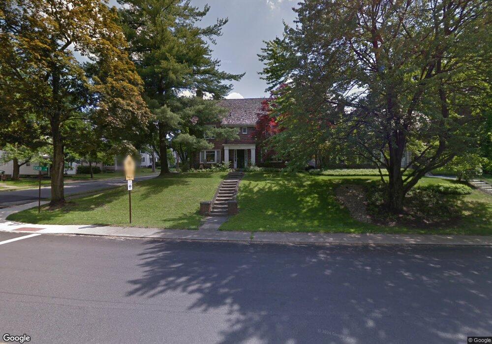
677 Maple St Mansfield, OH 44906
Estimated Value: $211,000 - $232,000
4
Beds
3
Baths
2,496
Sq Ft
$89/Sq Ft
Est. Value
About This Home
This home is located at 677 Maple St, Mansfield, OH 44906 and is currently estimated at $223,118, approximately $89 per square foot. 677 Maple St is a home located in Richland County with nearby schools including Goal Digital Academy, Discovery School, and St. Peter's Junior High / High School.
Ownership History
Date
Name
Owned For
Owner Type
Purchase Details
Closed on
Sep 2, 2016
Sold by
Brown Marianne L and Shear Nancy L
Bought by
Kellenberger Kevin A and Kellenberger Stefanie E
Current Estimated Value
Home Financials for this Owner
Home Financials are based on the most recent Mortgage that was taken out on this home.
Original Mortgage
$81,900
Outstanding Balance
$65,565
Interest Rate
3.5%
Mortgage Type
Future Advance Clause Open End Mortgage
Estimated Equity
$157,553
Create a Home Valuation Report for This Property
The Home Valuation Report is an in-depth analysis detailing your home's value as well as a comparison with similar homes in the area
Home Values in the Area
Average Home Value in this Area
Purchase History
| Date | Buyer | Sale Price | Title Company |
|---|---|---|---|
| Kellenberger Kevin A | $91,000 | Southern Title |
Source: Public Records
Mortgage History
| Date | Status | Borrower | Loan Amount |
|---|---|---|---|
| Open | Kellenberger Kevin A | $81,900 |
Source: Public Records
Tax History
| Year | Tax Paid | Tax Assessment Tax Assessment Total Assessment is a certain percentage of the fair market value that is determined by local assessors to be the total taxable value of land and additions on the property. | Land | Improvement |
|---|---|---|---|---|
| 2024 | $2,779 | $60,710 | $4,900 | $55,810 |
| 2023 | $2,843 | $60,710 | $4,900 | $55,810 |
| 2022 | $2,405 | $43,050 | $4,200 | $38,850 |
| 2021 | $2,422 | $43,050 | $4,200 | $38,850 |
| 2020 | $2,477 | $43,050 | $4,200 | $38,850 |
| 2019 | $2,745 | $43,050 | $4,200 | $38,850 |
| 2018 | $2,707 | $43,050 | $4,200 | $38,850 |
| 2017 | $2,659 | $43,050 | $4,200 | $38,850 |
| 2016 | $2,684 | $42,530 | $5,300 | $37,230 |
| 2015 | $2,564 | $42,530 | $5,300 | $37,230 |
| 2014 | $2,530 | $42,530 | $5,300 | $37,230 |
| 2012 | $2,030 | $44,770 | $5,580 | $39,190 |
Source: Public Records
Map
Nearby Homes
- 169 Euclid Ave
- 189 Westwood Ave
- 116 Stewart Ave S
- 108 Stewart Ave S
- 143 Fairlawn Ave
- 190 Dawson Ave
- 135 Fairlawn Ave
- 129 Fairlawn Ave
- 126 Dawson Ave
- 31 Parkwood Blvd
- 679 Coleman Rd
- 686 Barnard Ave
- 71 Dawson Ave
- 455 Marion Ave
- 616 Cline Ave
- 356 S Linden Rd
- 30 Douglas Ave
- 519 Heineman Blvd
- 51 Lind Ave
- 988 Kentland Dr
Your Personal Tour Guide
Ask me questions while you tour the home.