Estimated Value: $857,000 - $1,108,627
3
Beds
2
Baths
1,728
Sq Ft
$579/Sq Ft
Est. Value
About This Home
This home is located at 677 Rowell Dr, Lyons, CO 80540 and is currently estimated at $1,000,907, approximately $579 per square foot. 677 Rowell Dr is a home located in Boulder County with nearby schools including Lyons Elementary School and Lyons Middle/Senior High School.
Ownership History
Date
Name
Owned For
Owner Type
Purchase Details
Closed on
May 4, 2010
Sold by
U S Bank National Association
Bought by
Schottlaender Kevin
Current Estimated Value
Purchase Details
Closed on
Apr 27, 2010
Sold by
Capital One Na
Bought by
U S Bank National Association
Purchase Details
Closed on
Dec 14, 2009
Sold by
Lacombe Vivian J and Lacombe Gary A
Bought by
Capital One Na
Purchase Details
Closed on
Aug 9, 1990
Bought by
Schottlaender Kevin
Purchase Details
Closed on
Apr 23, 1979
Bought by
Schottlaender Kevin
Create a Home Valuation Report for This Property
The Home Valuation Report is an in-depth analysis detailing your home's value as well as a comparison with similar homes in the area
Purchase History
| Date | Buyer | Sale Price | Title Company |
|---|---|---|---|
| Schottlaender Kevin | $355,000 | Chicago Title Co | |
| U S Bank National Association | -- | Chicago Title Co | |
| Capital One Na | -- | None Available | |
| Schottlaender Kevin | $65,000 | -- | |
| Schottlaender Kevin | $60,000 | -- |
Source: Public Records
Tax History Compared to Growth
Tax History
| Year | Tax Paid | Tax Assessment Tax Assessment Total Assessment is a certain percentage of the fair market value that is determined by local assessors to be the total taxable value of land and additions on the property. | Land | Improvement |
|---|---|---|---|---|
| 2025 | $6,506 | $73,519 | $66,167 | $7,352 |
| 2024 | $6,506 | $73,519 | $66,167 | $7,352 |
| 2023 | $6,404 | $63,295 | $60,282 | $6,698 |
| 2022 | $5,139 | $49,241 | $44,317 | $4,924 |
| 2021 | $5,097 | $50,658 | $45,592 | $5,066 |
| 2020 | $4,845 | $48,099 | $21,379 | $26,720 |
| 2019 | $4,772 | $48,099 | $21,379 | $26,720 |
| 2018 | $4,209 | $42,523 | $21,168 | $21,355 |
| 2017 | $4,141 | $47,011 | $23,402 | $23,609 |
| 2016 | $3,546 | $35,709 | $28,736 | $6,973 |
| 2015 | $3,342 | $30,598 | $4,617 | $25,981 |
| 2014 | $2,661 | $30,598 | $4,617 | $25,981 |
Source: Public Records
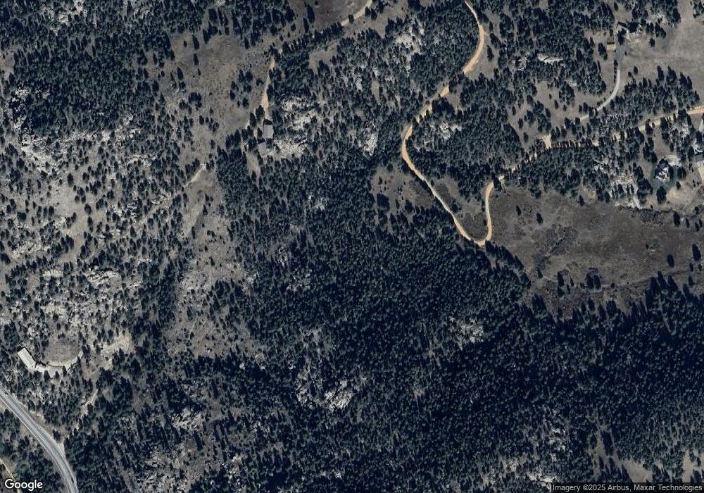
Map
Nearby Homes
- 3665 Colard Ln
- 180 Valley View Ln
- 181 Deer Ln
- 255 Apache
- 123 Mohawk Rd
- 458 Longmont Dam Rd
- 321 May Ave
- 1289 Kiowa Rd
- 40 Hopi Ct
- 187 Wichita Rd
- 270 Choctaw Rd
- 287 Wichita Rd
- 11042 N Saint Vrain Dr
- 1669 Apple Valley Rd
- 1190 Lonestar Rd
- 1312 Steamboat Valley Rd
- 108 Lonestar Rd
- 119 Eagle Canyon Cir
- 1570 County Road 37e
- 1165 Stagecoach Trail
- 778 Rowell Dr
- 787 Rowell Dr
- 13879 N Saint Vrain Dr
- 121 Rowell Dr
- 95 Rowell Dr
- 13780 N Saint Vrain Dr
- 13910 N Saint Vrain Dr
- 3511 Colard Ln
- 982 Rowell Dr
- 14383 N Saint Vrain Dr
- 14383 N St Vrain Dr
- 841 Rowell Dr
- 3487 Colard Ln
- 1186 Rowell Dr
- 3694 Colard Ln
- 13930 N Saint Vrain Dr
- 0 Rowell Dr
- 0 N St Vrain Dr Unit 417679
- 0 N St Vrain Dr Unit 329702
- 0 N St Vrain Dr Unit 329696